Afternoon storm risk is the line that matters. Everything else is comfort. In summer, plan to be off the ridge before the build-up starts, not as it starts. Forecast for the summit point, adjusted for its elevation · data from Open-Meteo.
Standard route · East Slopes
Overview
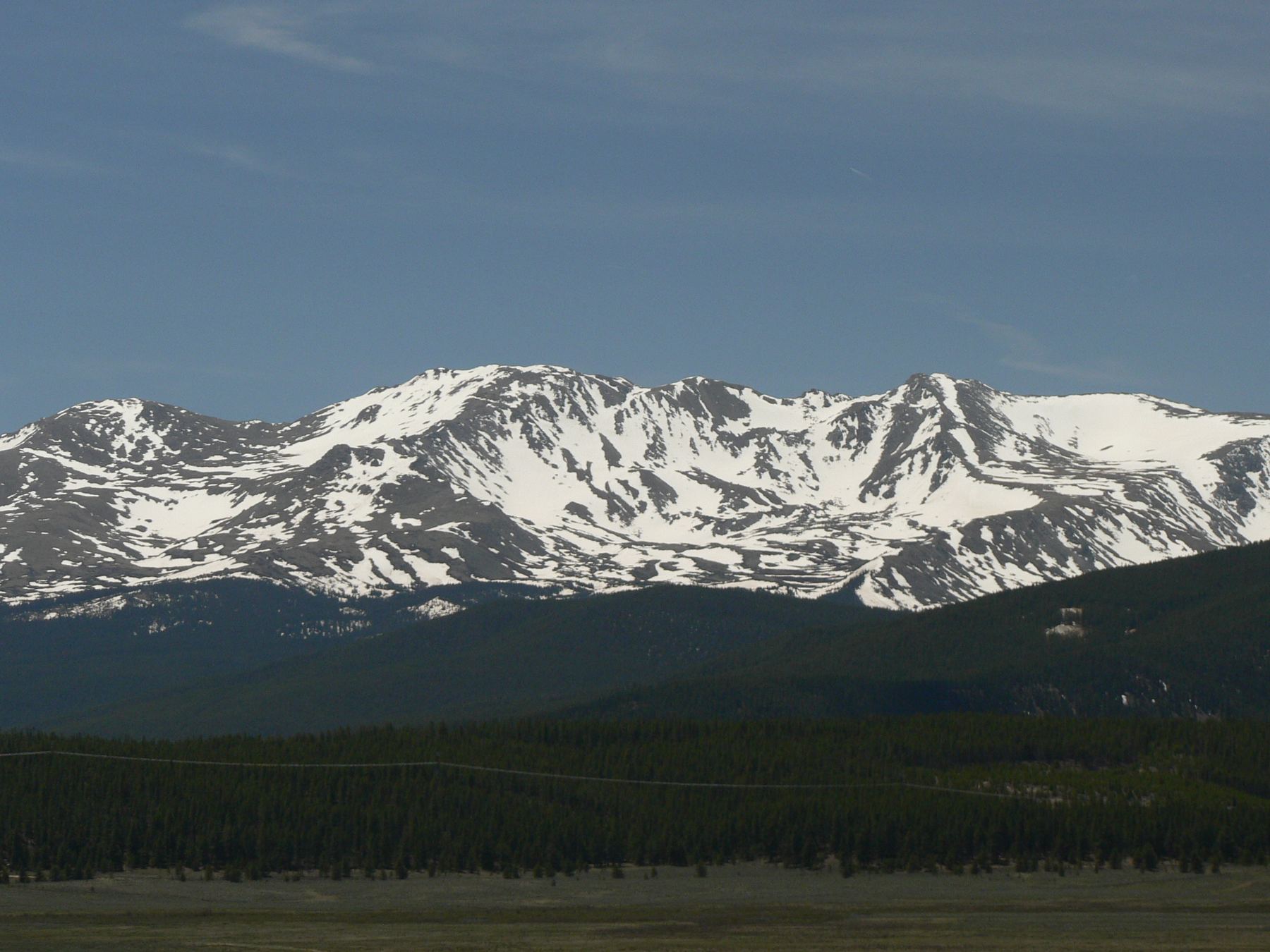
Mount Massive is the second-highest peak in Colorado, and it lives up to its name. The summit ridge is a long, broad crest with more ground above 14,000 feet than any other peak in the lower 48. The East Slopes route is a Class 2 hike on good trail almost the whole way, with a short section of easy rock work near the top.
The hard part is the length. At 13.75 miles round trip and 4,500 feet of gain, this is one of the longer standard routes in the state. You spend about 3 miles in the forest on the Colorado Trail before the real climbing starts, and then several hours above treeline. There is no quick way off the upper mountain, so a storm that catches you on the ridge is a serious problem.
Fit hikers take 8 to 11 hours. It suits people who have done a few easier 14ers and are comfortable with a long day. The rock near the summit is not hard, but you need to watch your footing and stay on route after 10+ miles on your legs.
Plan of the day
Start by
By 4:30 or 5 a.m. You have 3 miles of forest before the climb begins, and you will be above treeline for 4 or more hours. Storms often build by late morning.
Turnaround
If you have not reached the 13,900-foot saddle by 10:30 a.m., or clouds are building over the ridge, turn around. From the saddle you still have close to a mile of exposed ridge to go.
Crux
The rocky stretch above the 14,250-foot notch, where the trail leaves the crest and weaves through boulders on the right side before regaining the ridge. It is easy scrambling, but the footing is loose in places.
Route-finding
Easy to follow in summer. The key turn is the Mount Massive Trail junction at 11,300 feet, where you leave the Colorado Trail. Near the top, do not follow the Southwest Slopes trail down from the notch by mistake.
Water
South Willow Creek and Willow Creek on the lower trail, plus small streams near treeline early in the season. Nothing reliable above about 12,000 feet. Filter or treat all water, and carry at least 3 liters from the start.
Just south of Leadville, leave U.S. 24 and go west on Colorado 300. After 0.7 mile, turn left on County Road 11. Go 1.2 miles and turn right onto the Halfmoon Creek road, then zero your odometer. The dirt road reaches the Mount Massive trailhead parking area after 5.3 miles; it is on the right side of the road.
The Halfmoon road is dirt but fine for normal cars when dry. The lot is shared with people hiking Mount Elbert's north side, so it fills early on summer weekends. There are campgrounds along the Halfmoon road. The route enters the Mount Massive Wilderness, so wilderness rules apply. In September 2026 a wildfire closed this trailhead and the East Slopes route; check with the Forest Service before you go.
Trail in the treesScramblingRidgeTundraExposed to lightning
The line is elevation, the band underneath is the ground, and the numbered dots match the steps below. Mileage and elevations are approximate.
1
Mount Massive trailhead 10,080' · 0 mi
Start on the combined Colorado Trail and Mount Massive trail from the parking area. The trail heads north through lodgepole pine and aspen on gentle grades. This first part is easy walking and a good time to warm up.
2
South Willow Creek crossing 10,500' · 2 mi
After about 2 miles of rolling forest trail you reach South Willow Creek. The crossing is usually easy on rocks or logs. This is a good spot to fill water if you need it.
Watch for: Early summer runoff can make the crossing wet and slippery.
3
Willow Creek crossing 10,800' · 3 mi
About a mile past South Willow Creek, cross Willow Creek. After the creek the trail turns northwest and starts to climb a hill through the trees.
4
Mount Massive Trail junction 11,300' · 3.4 mi
At 11,300 feet you reach a signed junction. Leave the Colorado Trail here and turn left onto the Mount Massive Trail. This is the most important turn of the day.
Watch for: If you keep going straight on the Colorado Trail you will head away from the peak.
5
First views of Massive 11,450' · 3.65 mi
About a quarter mile up from the junction the ground levels out and the trees open into small meadows. You get your first look at Massive's long east side ahead of you.
6
Treeline and willows 11,800' · 4 mi
The trail zigzags through thick willows as the trees thin out. From here on you are in the open and exposed to weather.
7
Point 12,466 shoulder 12,400' · 4.9 mi
Climb the slope of Point 12,466. Near 12,400 feet the grade eases and most of the rest of the route comes into view. The summit is still about 2 miles away. Look for the saddle on the skyline to the left of the main summit ridge.
Watch for: Check the sky here. Past this point, retreat takes a long time.
8
Basin below the saddle 13,000' · 5.5 mi
The trail stays well built as it climbs steadily across the east slopes toward the saddle. The terrain is open grass and rock with switchbacks higher up.
9
13,900-foot saddle 13,900' · 6.2 mi
Reach the saddle between the bump called South Massive and the main summit ridge. The view opens to the west. Turn right (north) here and follow the trail toward the summit ridge.
Watch for: Wind is often strong at the saddle. Add a layer before you go on.
10
Southwest Slopes notch 14,250' · 6.5 mi
Near 14,250 feet you come to a notch where the Southwest Slopes trail joins from the left. Note this spot so you do not drop down the wrong side on the way back.
Watch for: Do not take the Southwest Slopes trail down by mistake.
11
Rocky section right of the crest 14,300' · 6.65 mi
Past the notch, stay to the right of the ridge crest and pick your way up through the rocks. Follow the easiest line and watch for cairns. You regain easier ground on the crest near 14,300 feet.
Watch for: Loose rock. Watch for people above and below you.
12
False summit 14,380' · 6.75 mi
Walk along the broad crest and over a false summit. The true high point is a short way farther along the ridge.
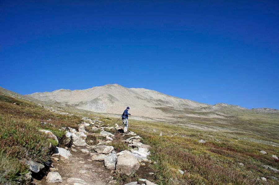
High on Massive near the false summit · Photo: Brokentaco
13
Summit 14,427' · 6.875 mi
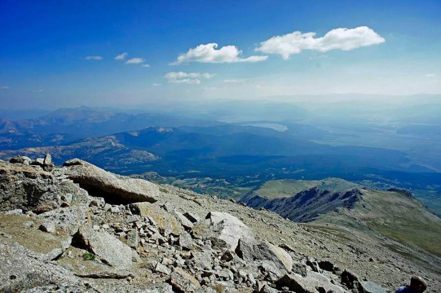
A short walk along the ridge brings you to the top. The summit is rocky and broad, with views of Elbert to the south and the Sawatch Range stretching both ways.
The view from Massive's summit ridge · Photo: Brokentaco
Along the route
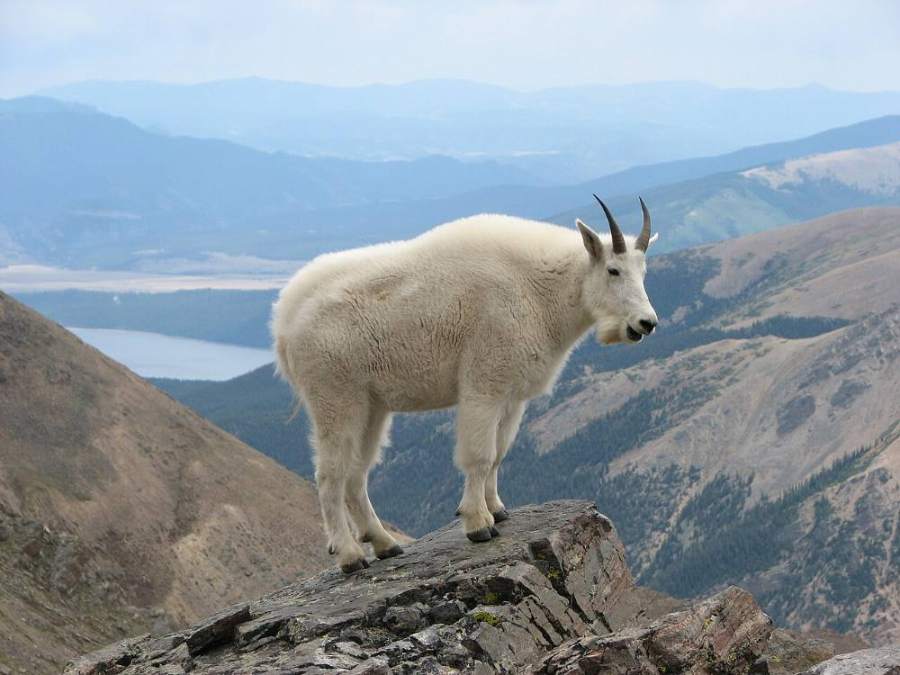
Mountain goats are common on Massive's upper slopes · Photo: Darklich14
Turn right to stay on Mount Massive East Slopes (Standard)
Here Mt. Massive/North Halfmoon - 1451 goes off to the left. Turn right to follow Mount Massive East Slopes (Standard).
Coming down: Turn left to stay on Mount Massive East Slopes (Standard). Don’t take Mt. Massive/North Halfmoon - 1451.
Landmarks to know
Colorado Trail signs at the start
South Willow Creek at about 2 miles, then Willow Creek at about 3 miles
Signed Mount Massive Trail junction at 11,300 feet (turn left)
Small meadows with the first view of Massive
Willows at treeline, then the shoulder of Point 12,466
The broad saddle at 13,900 feet between South Massive and the main ridge
The notch at 14,250 feet where the Southwest Slopes trail joins
A false summit on the ridge just before the top
Getting down
Go back the way you came. The most common mistake is at the 14,250-foot notch: the Southwest Slopes trail drops to the west from here, and tired hikers sometimes follow it. That leads to a different trailhead miles from your car. At the notch, make sure you head back toward the 13,900-foot saddle, then turn left (east) at the saddle and drop down the east slopes.
Below treeline, watch for the junction with the Colorado Trail at 11,300 feet and turn right onto it to head back south. The last 3 miles in the forest feel long. Take care on the rocks near the top and on loose gravel below the saddle, where knees and ankles get tired.
If things go wrong
The saddle at 13,900 feet is the last good decision point. If weather is building, turn back there; the ridge above is high and exposed for close to a mile. On the way down, get below treeline as fast as you safely can, and stay off the ridge crest in lightning. Treeline near 11,800 feet is the first real shelter. The trailhead is about 7 miles from the summit, so an injured hiker high on the peak will need help. If someone is hurt, keep them warm, send others down for help if you have no signal, and call 911 if you can.
3D flyover
Press play to fly the East Slopes. The graph shows elevation along the way and how much you gain each mile. Open full screen.
For planning only. The line is traced from open map data, not walked in the field, and off-trail parts are drawn straight. Load it in your GPS app to see the route, but navigate with your eyes, a map and the route description.
See the trail on video
A climb of this route filmed by Centennial Treks. The video belongs to them and only plays when you press play.
Jump to
Other routes
All 3 routes up Mount Massive, with the class and round-trip distance for each.
Expect talus, scree and stretches where the trail disappears. Ankles and weather cause most of the trouble here. Start early, keep an eye on the sky, and set a turnaround time before you leave the car.