Afternoon storm risk is the line that matters. Everything else is comfort. In summer, plan to be off the ridge before the build-up starts, not as it starts. Forecast for the summit point, adjusted for its elevation · data from Open-Meteo.
Standard route · East Slopes
Overview
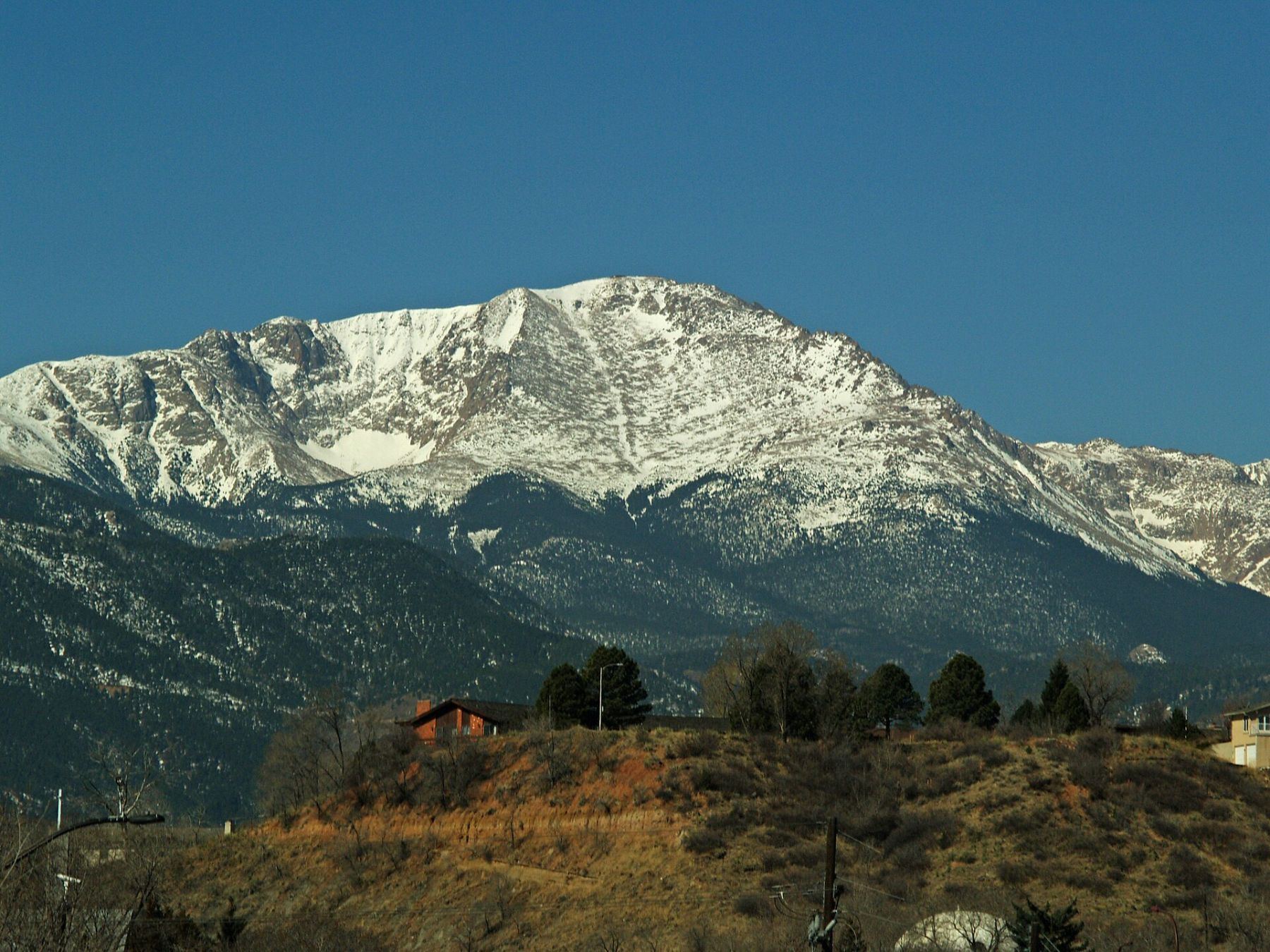
Pikes Peak rises straight out of Colorado Springs, and the Barr Trail climbs it from the edge of Manitou Springs. It is a Class 1 trail, well built and easy to follow from bottom to top. What makes it hard is the scale: about 24 miles round trip and 7,600 feet of gain, more than almost any other standard 14er route.
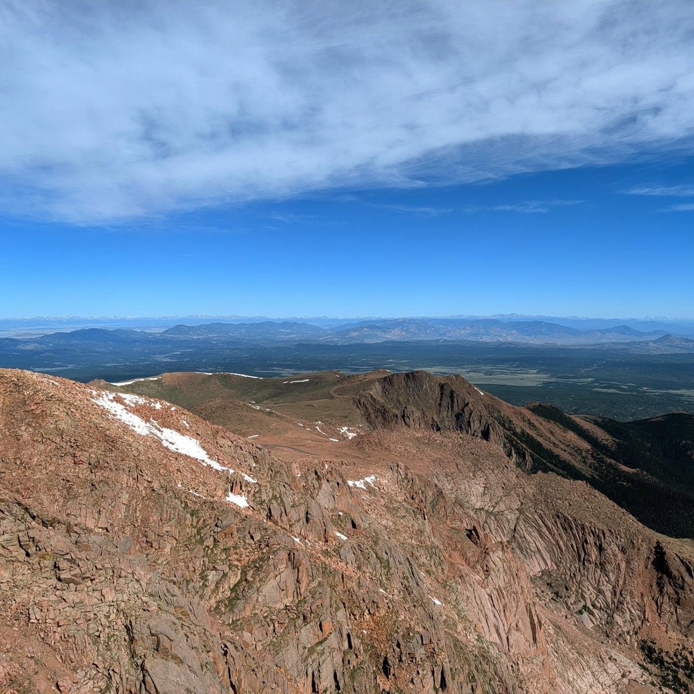
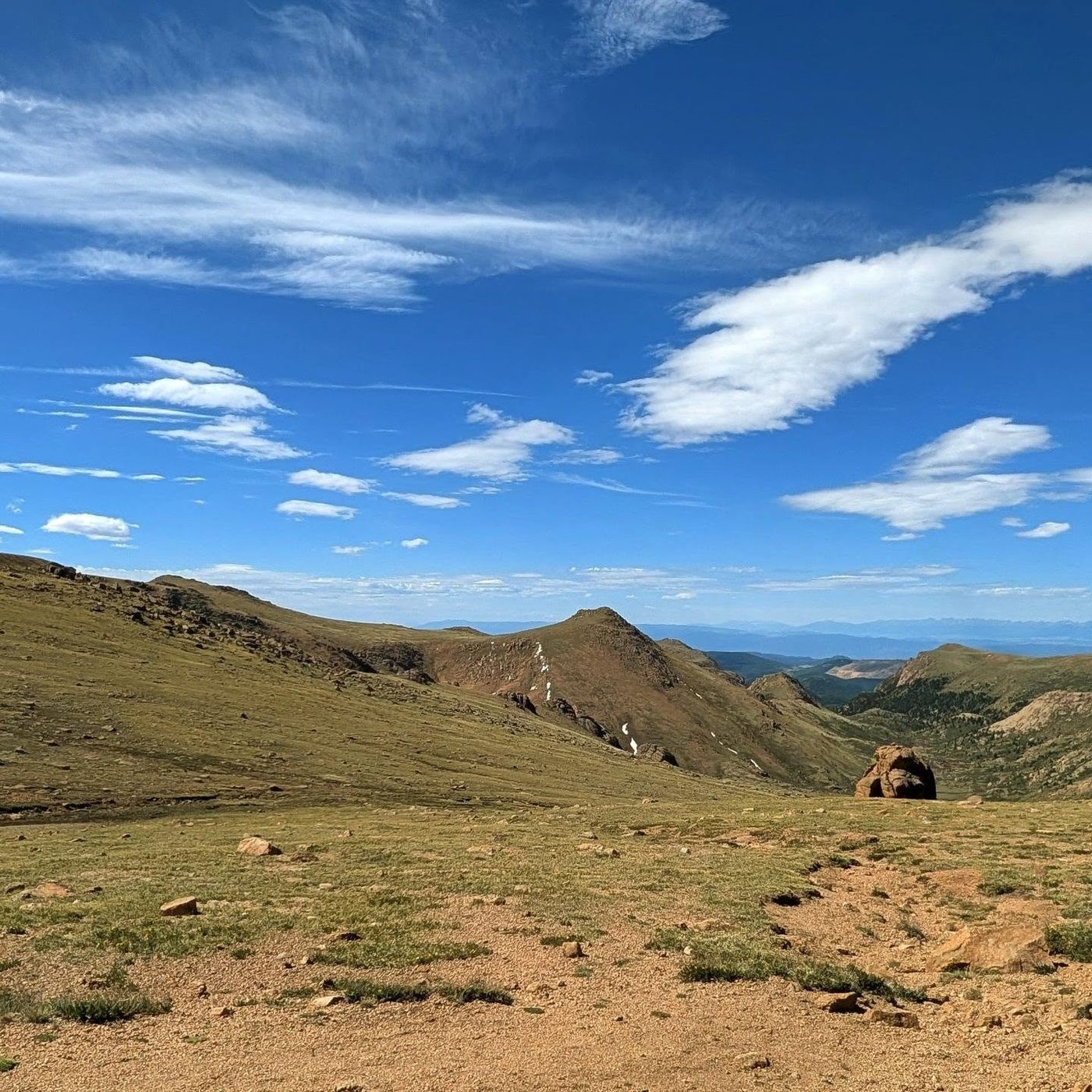
The trail climbs in stages. First come steep switchbacks through scrub oak and pine, then long easier miles through the forest to Barr Camp at the halfway point. Above that, a steep set of switchbacks leads to treeline, and the last 3 miles wind back and forth across the open, rocky east face to the summit. Many people split the trip by staying at Barr Camp, or hike up and ride down on the road or the cog railway.
Hiking up and back in one day takes most people 12 to 16 hours. Hiking only up takes 7 to 10 hours. Low on the trail the main problem is heat. High on the trail it is lightning, cold, and exhaustion. The summit has a road, a visitor center, and crowds, but the trail below it is just as remote as any other high peak.
Plan of the day
Start by
By 4 or 5 a.m. The lot fills very early, the lower trail gets hot once the sun hits the east slopes, and you need to be above treeline and moving fast before storms build around noon.
Turnaround
If you have not reached the Bottomless Pit junction near 10,850 feet by 9:30 a.m., or treeline by 10:30 a.m., think hard about turning back. From treeline you still have more than 4 miles of open trail to the top.
Crux
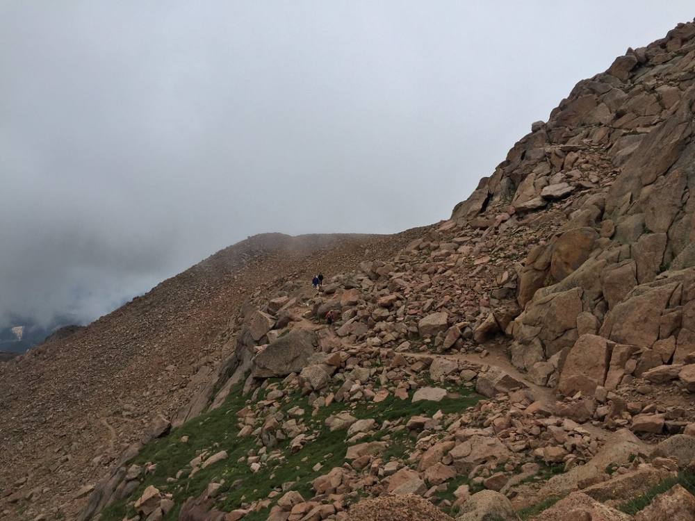
The last 3 miles above treeline, and especially the tight switchbacks of the 16 Golden Stairs near 13,700 feet, where the thin air slows everyone to a crawl after many hours of climbing.
Route-finding
Easy. Stay on the Barr Trail at every junction. The ones that trip people up are near the Incline in the first 2 miles and the junctions below Barr Camp, mostly on the way down.
Water
Carry 3 or more liters from the start. A stream near Barr Camp can be filtered or treated. Above Barr Camp there is no reliable water on the trail. The summit visitor center sells food and drinks when it is open, but do not count on it.
Follow U.S. 24 to Manitou Springs and get off at Manitou Avenue. Head into the middle of town, and at the roundabout go west on Ruxton Avenue. Go 0.8 mile to Hydro Street, turn right, and drive up the short hill to the Barr Trail parking lot.
The road is paved. Parking is the problem: the small lot is shared with Incline users and cog railway visitors and fills very early. All parking at the lot and along Ruxton Avenue is paid, with self-serve pay stations. If you plan to ride down from the summit, arrange it ahead of time and leave a car or a pickup plan at the bottom.
Trail in the treesTundraExposed to lightning
The line is elevation, the band underneath is the ground, and the numbered dots match the steps below. Mileage and elevations are approximate.
1
Barr Trail trailhead 6,650' · 0 mi
The trail starts at the top of the Hydro Street lot and climbs right away. Steep switchbacks head west through scrub oak and pine. This is the steepest part of the lower trail, so take it easy.
Watch for: It gets hot here fast once the sun is up.
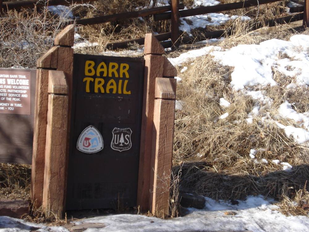
The Barr Trail trailhead · Photo: bgautrea
2
Corner near the Incline 7,700' · 1.5 mi
After about 1.5 miles of switchbacks you reach a corner near the Manitou Incline. Stay left on the Barr Trail. You will pass another path to the Incline soon after; stay on the Barr Trail.
Watch for: Incline paths join here. Watch for them on the way down.
3
Rock arch 8,600' · 2.75 mi
Near 8,600 feet you walk through a natural rock arch. It is a good sign you are on track.
4
Junctions past the arch 8,700' · 3 mi
The trail switchbacks away from the arch and passes a side trail, then about 0.2 mile later another junction. Stay left on the Barr Trail at both.
Watch for: These junctions are easy to mix up on the way down. Stick with the Barr Trail signs.
5
Flat forest section 9,000' · 3.8 mi
After a short hill the trail flattens out and runs through the forest for a couple of miles. This is the easiest walking of the day.
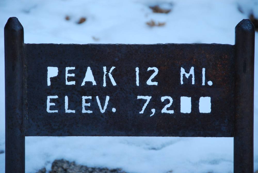
Mileage sign on the lower trail: 12 miles to go · Photo: Jasen Miller
6
Overlook 9,800' · 5.1 mi
At just over 5 miles you reach an overlook. The summit is still far away and high above you.
7
Barr Camp 10,150' · 6 mi
Barr Camp is a staffed cabin with camping, set in the trees at 10,150 feet. You are about halfway by distance. This is a good spot to rest, eat, and treat water.
8
Elk Park junction 10,300' · 6.2 mi
Just past Barr Camp, pass the junction for the Elk Park trail and keep going on the Barr Trail. The trail heads west and northwest through the forest.
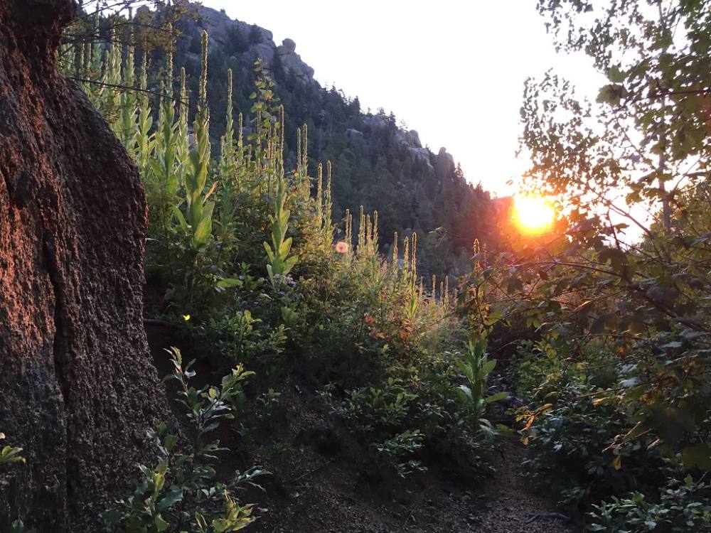
Sunrise on the lower switchbacks · Photo: Ash 1300ad
9
Bottomless Pit junction 10,850' · 6.9 mi
Near 10,850 feet you reach the junction for the Bottomless Pit trail. Turn left and continue south on the Barr Trail.
Watch for: Do not take the Bottomless Pit trail.
10
Switchbacks to treeline 11,300' · 7.4 mi
Between 11,300 and 12,100 feet the trail climbs about 20 switchbacks through the thinning trees. This section is steep and long.
11
Treeline and A-frame 12,000' · 8.5 mi
Near treeline you pass a small A-frame shelter just off the trail. This is the last cover before the open upper mountain.
Watch for: Check the weather here. Above this point you are fully exposed for 4 miles.
12
North edge of the east slopes 12,800' · 9.75 mi
Above the trees the trail climbs 10 or more switchbacks toward the north side of the rocky east face. At about 12,800 feet you reach the northern edge of the east slopes.
13
Cirque corner 13,200' · 10.75 mi
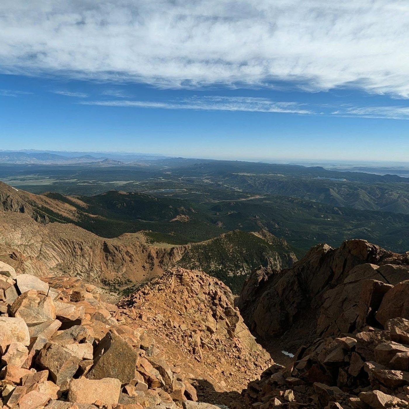
The trail traverses south across the slope to a corner at about 13,200 feet with a view down into Pikes Peak's big southern cirque. The ground drops off steeply a short way from the trail.
Watch for: Stay on the trail near the edge of the cirque.
14
16 Golden Stairs 13,600' · 11.2 mi
Turn back northwest and traverse less than half a mile across the upper east face to the start of the 16 Golden Stairs, a long set of tight switchbacks up through the rocks.
The rocky trail high on the mountain · Photo: Ash 1300ad
15
Plaque at 14,000 feet 14,000' · 12.3 mi
Near 14,000 feet you pass a plaque honoring Fred Barr, who built the trail. A few more switchbacks remain.
16
Summit 14,109' · 12.6 mi
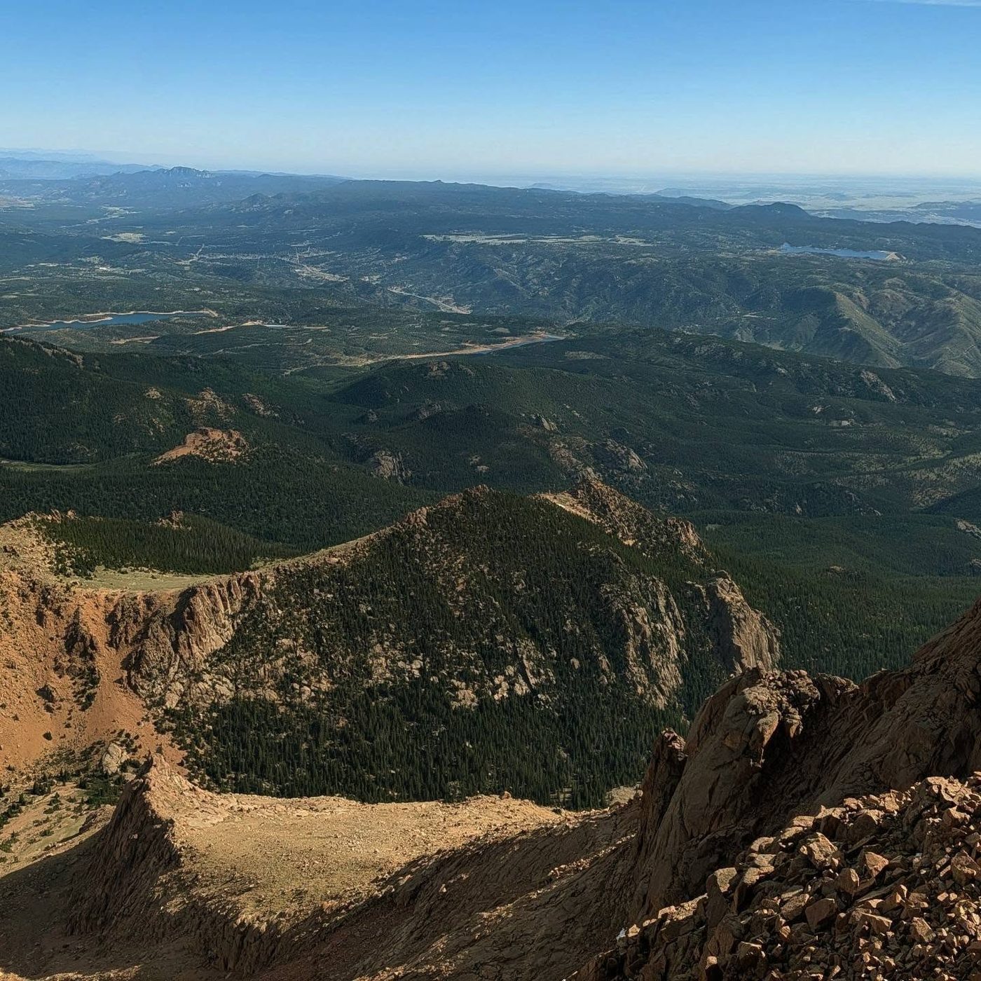
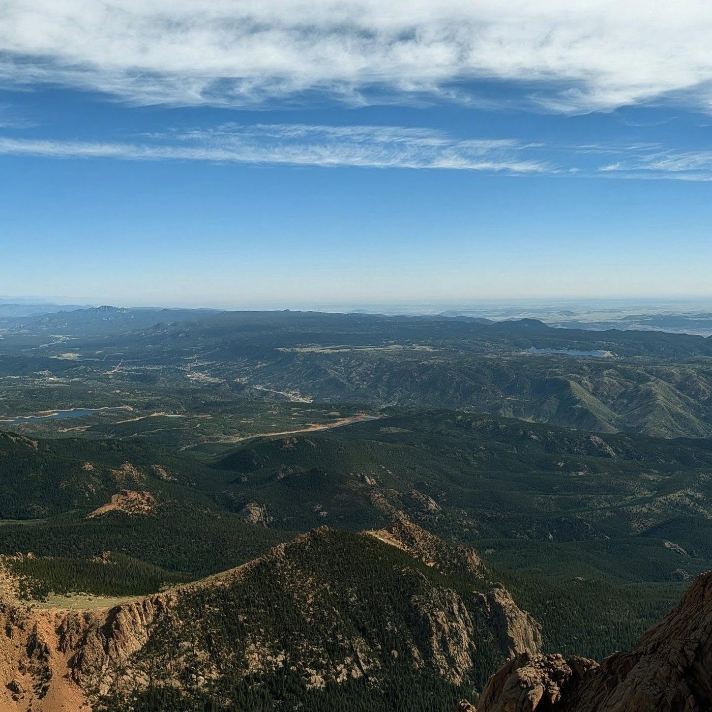
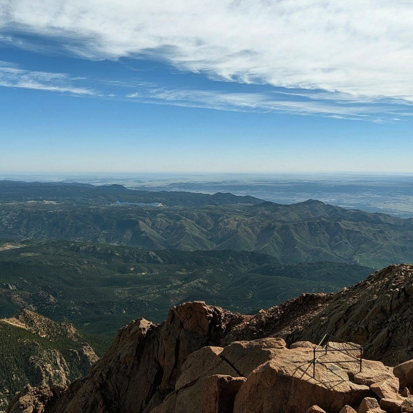
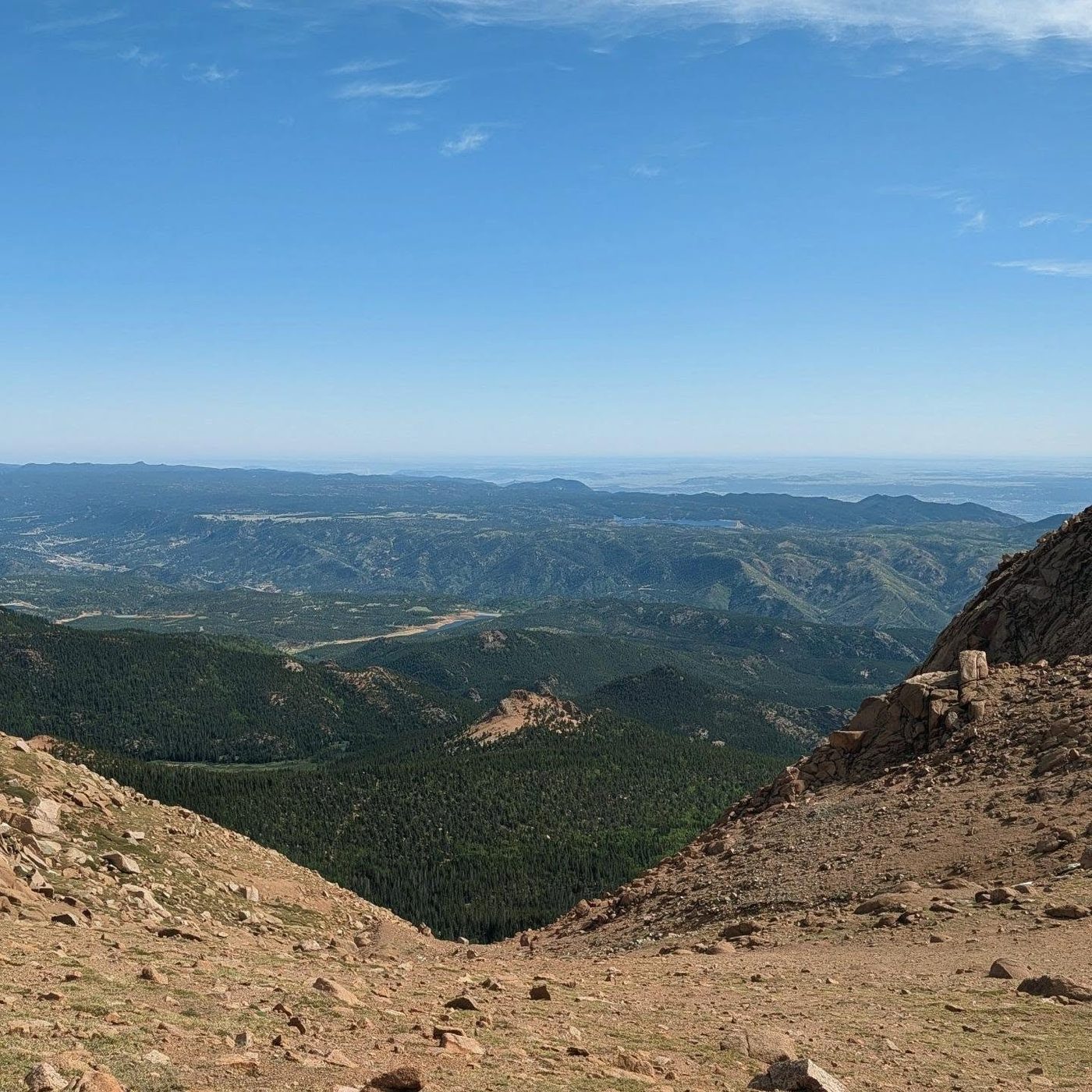
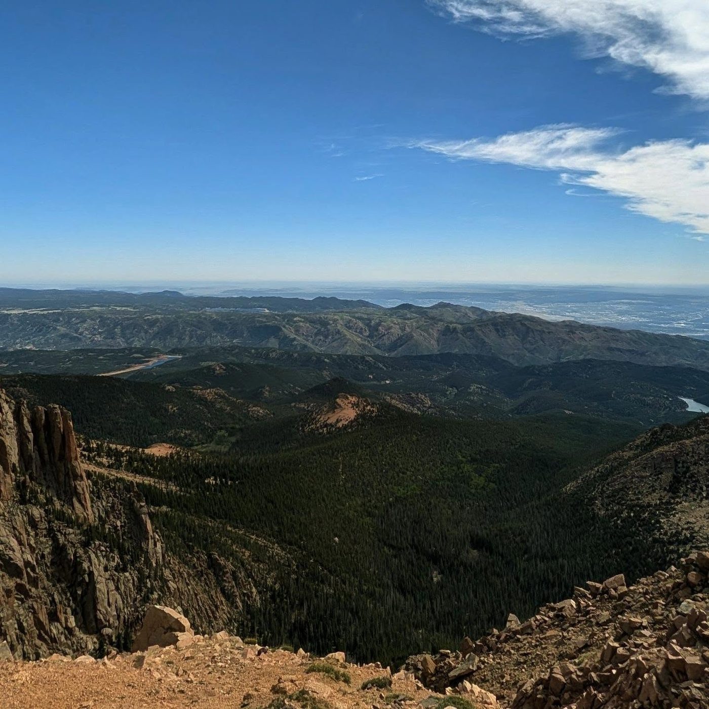
Top out on the broad summit, with the road, parking lot, cog railway station, and visitor center. The views reach far out over the plains to the east.
Along the route
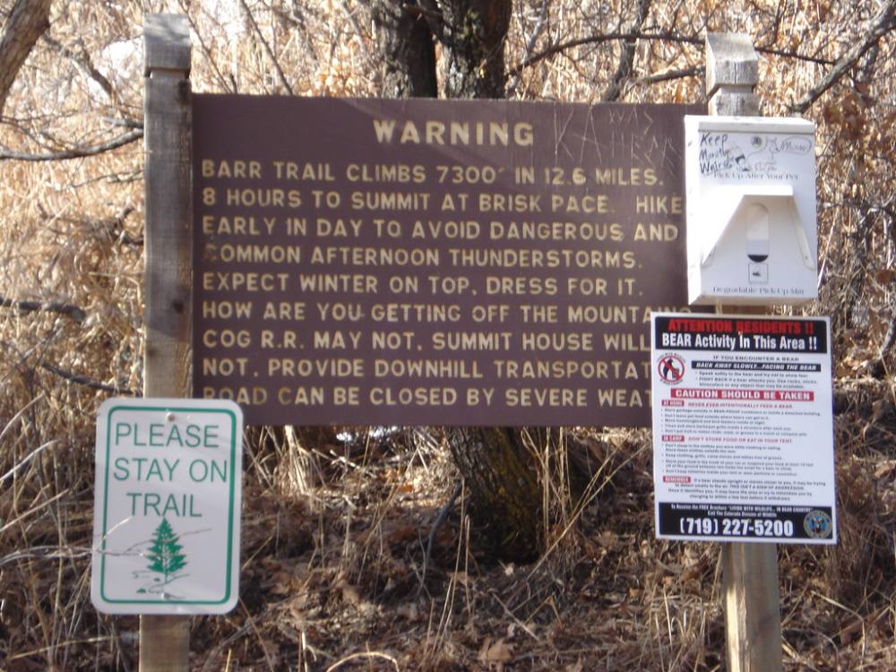
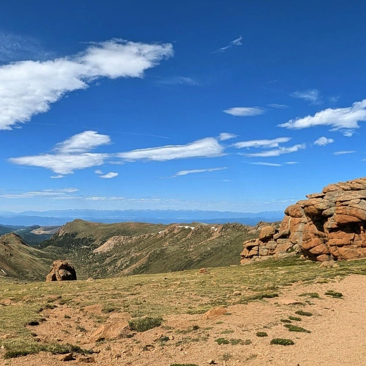
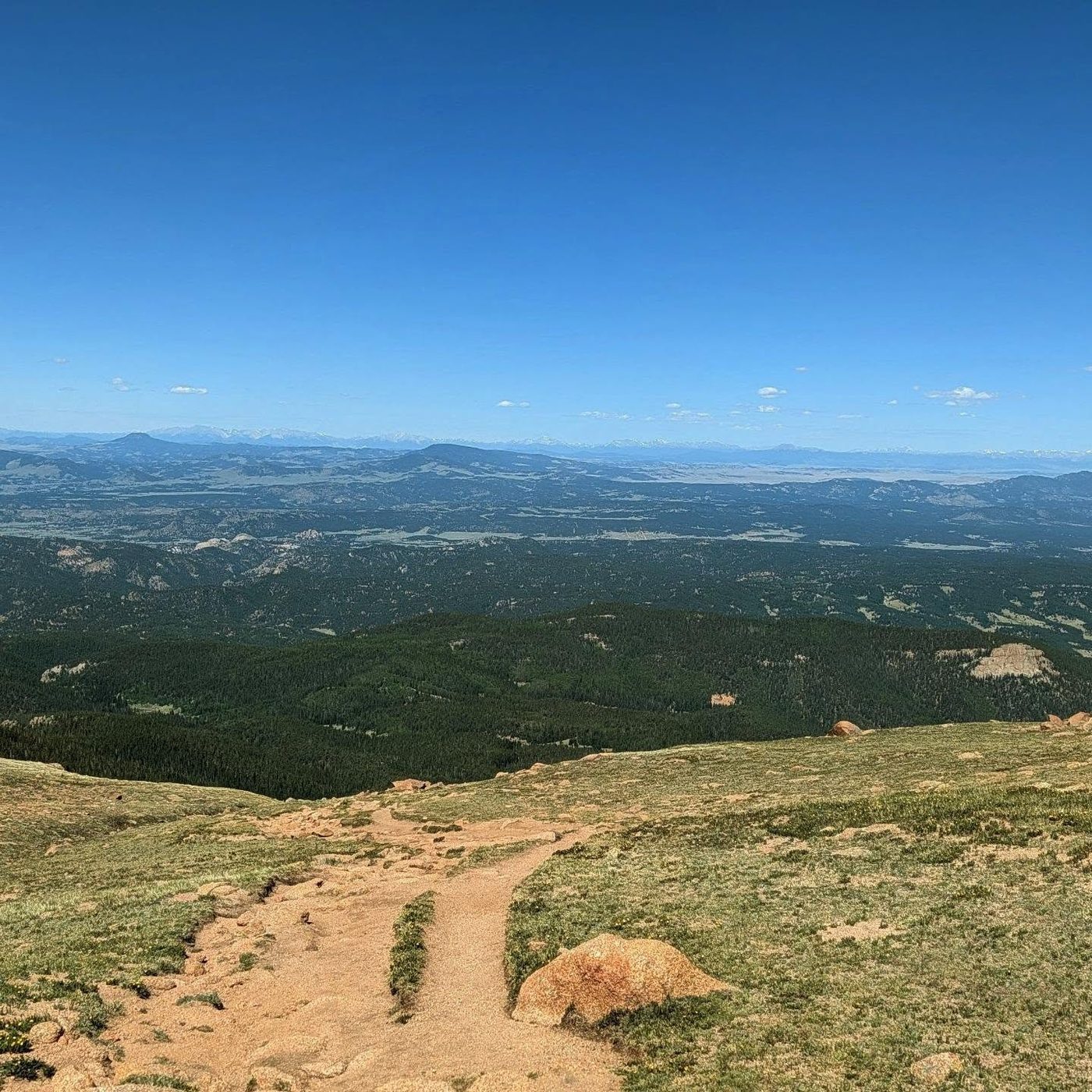
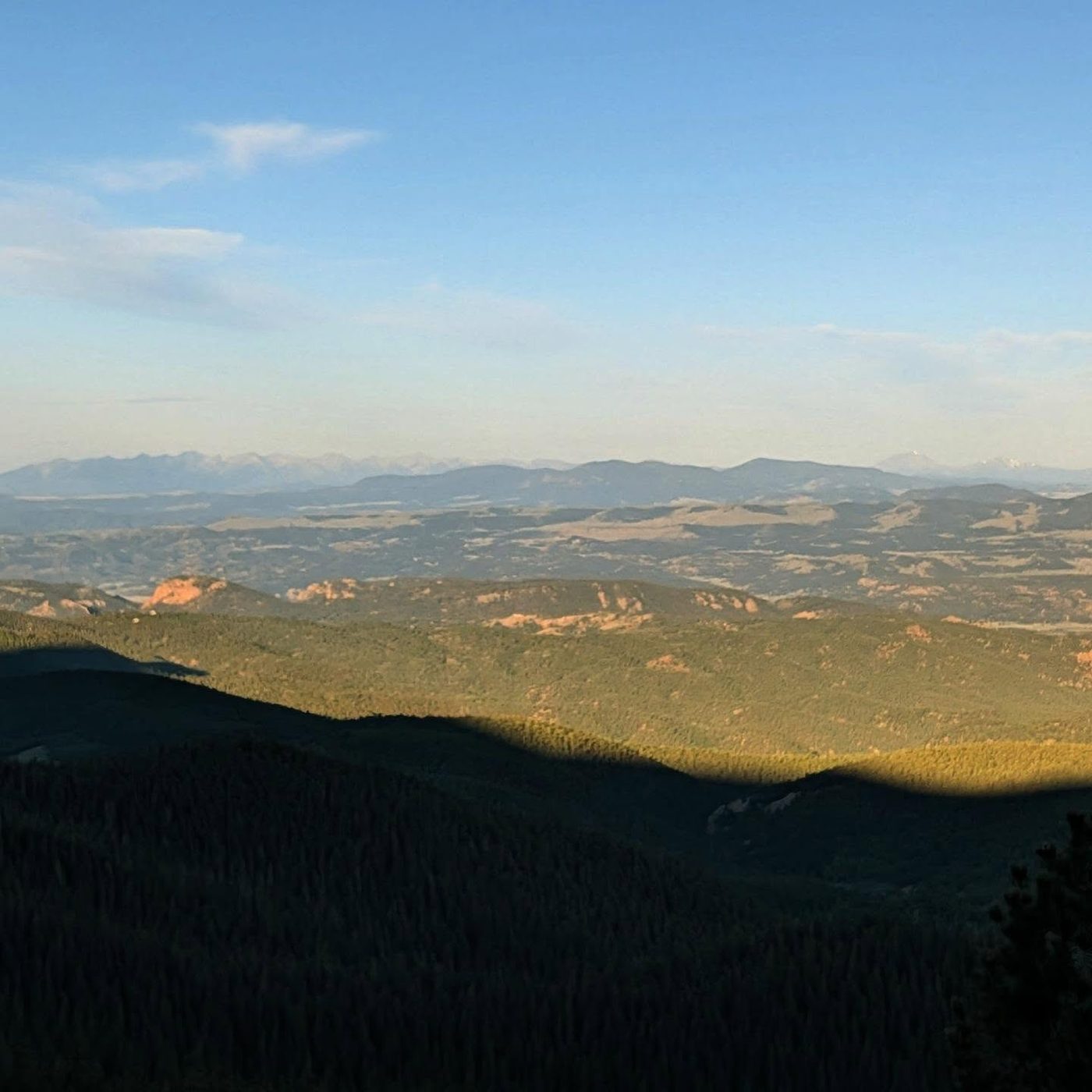
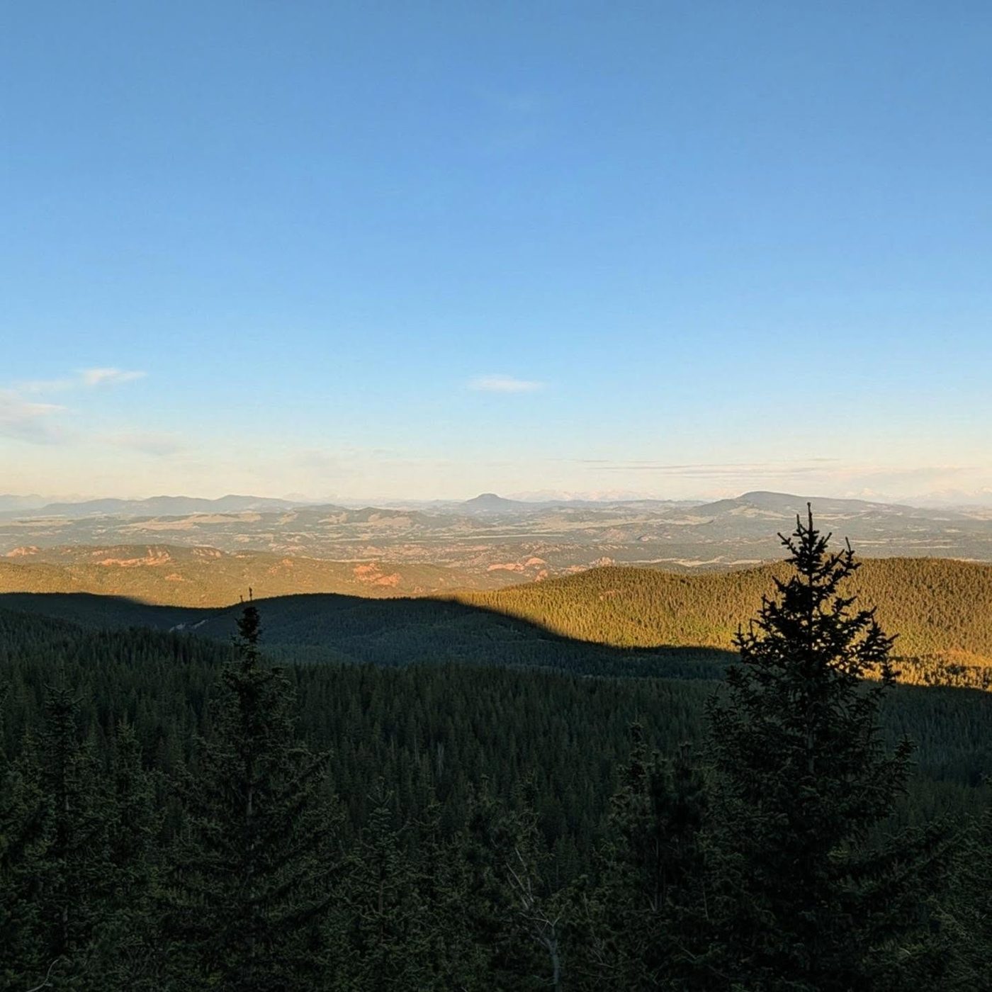
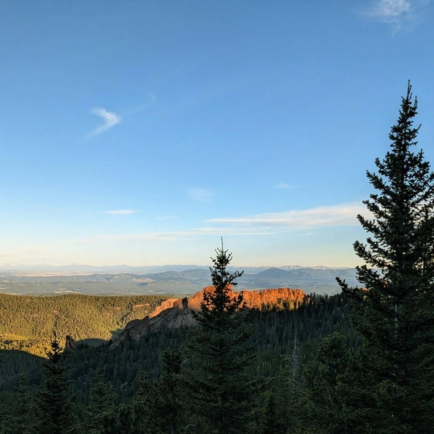
The warning sign at the bottom of Barr Trail · Photo: bgautreaOur photo from the routeOur photo from the route
Here an unmarked path goes off to the right. Turn left to follow the trail.
Coming down: Turn right to stay on the trail you came up. Don’t take the unmarked path.
2Mile 1.4 · 7,630'
Turn right
Here an unmarked path goes off to the left. Turn right to follow the trail.
Coming down: Turn left to stay on the trail you came up. Don’t take the unmarked path.
3Mile 2.6 · 8,490'
Keep left
Here an unmarked path goes off to the left. Keep left to follow the trail.
Coming down: Turn right to stay on the trail you came up. Don’t take the unmarked path.
4Mile 3.1 · 8,740'
Keep left onto Barr Trail
Here Longs Ranch Road goes off straight ahead. Keep left to follow Barr Trail.
Coming down: Keep going straight on the trail you came up. Don’t take Longs Ranch Road.
5Mile 3.2 · 8,780'
Stay on Barr Trail
Here Longs Ranch Road goes off to the left. Keep going straight on Barr Trail.
Coming down: Keep going straight on Barr Trail. Don’t take Longs Ranch Road.
6Mile 6.4 · 10,460'
Turn right to stay on Barr Trail
Here Lake Moraine goes off to the left. Turn right to follow Barr Trail.
Coming down: Turn left to stay on Barr Trail. Don’t take Lake Moraine.
7Mile 6.6 · 10,610'
Turn left to stay on Barr Trail
Here Elk Park Trail goes off to the right. Turn left to follow Barr Trail.
Coming down: Turn right to stay on Barr Trail. Don’t take Elk Park Trail.
8Mile 12.5 · 14,070'
Turn right
Here an unmarked path goes off to the left. Turn right to follow the trail.
Coming down: Turn left to stay on the trail you came up. Don’t take the unmarked path.
Landmarks to know
Steep switchbacks right out of the Hydro Street lot
The corner near the Manitou Incline at about 1.5 miles (stay left)
A natural rock arch near 8,600 feet
Barr Camp's cabin at 10,150 feet, about 6 miles in
The Bottomless Pit junction near 10,850 feet (turn left)
A small A-frame shelter near treeline
The cirque corner at 13,200 feet with views into the southern cirque
The 16 Golden Stairs switchbacks, then the summit buildings
Getting down
If you walk down, reverse the Barr Trail. It is a long 12.6 miles and very hard on the knees and feet. The upper switchbacks and loose gravel above treeline cause slips, so keep your pace steady. At the Bottomless Pit junction, turn right to head back to Barr Camp.
Below Barr Camp, tired hikers most often go wrong at the junctions near the rock arch and near the Incline. Follow the Barr Trail signs each time. The heat on the lower trail in the afternoon can be severe, so save water for the last few miles. If you plan to ride down instead, confirm the ride before you leave the trailhead.
If things go wrong
Barr Camp is the main safe spot on the route, with people, shelter, and water. Above treeline, the A-frame shelter near 12,000 feet offers some cover but is not lightning-proof. If weather turns high on the mountain, the summit buildings may be closer than treeline, but only head up if you can get there quickly and they are open. Otherwise get below treeline as fast as you safely can. Below Barr Camp, the trail is busy and you can usually get help from other hikers. If someone is hurt, keep them warm and hydrated, and call 911 if you have a signal.
3D flyover
Press play to fly the East Slopes. The graph shows elevation along the way and how much you gain each mile. Open full screen.
For planning only. The line is traced from open map data, not walked in the field, and off-trail parts are drawn straight. Load it in your GPS app to see the route, but navigate with your eyes, a map and the route description.
See the trail on video
No video yet
We haven’t found a good video of this route that matches the way we describe it. The route strip, junctions and 3D flyover show the way in the meantime.
Other routes
All 3 routes up Pikes Peak, with the class and round-trip distance for each.
TypeRouteClassTrailheadRound trip
Standard
East Slopes
Class 1
Manitou Springs (Barr Trail)24 mi · 7,600'Full route →
A Class 1 rating means a trail, not a stroll. Altitude, distance and weather still decide how this goes. Afternoon thunderstorms build fast above treeline in summer, so plan to be heading down by noon, and carry more water than you think you need.