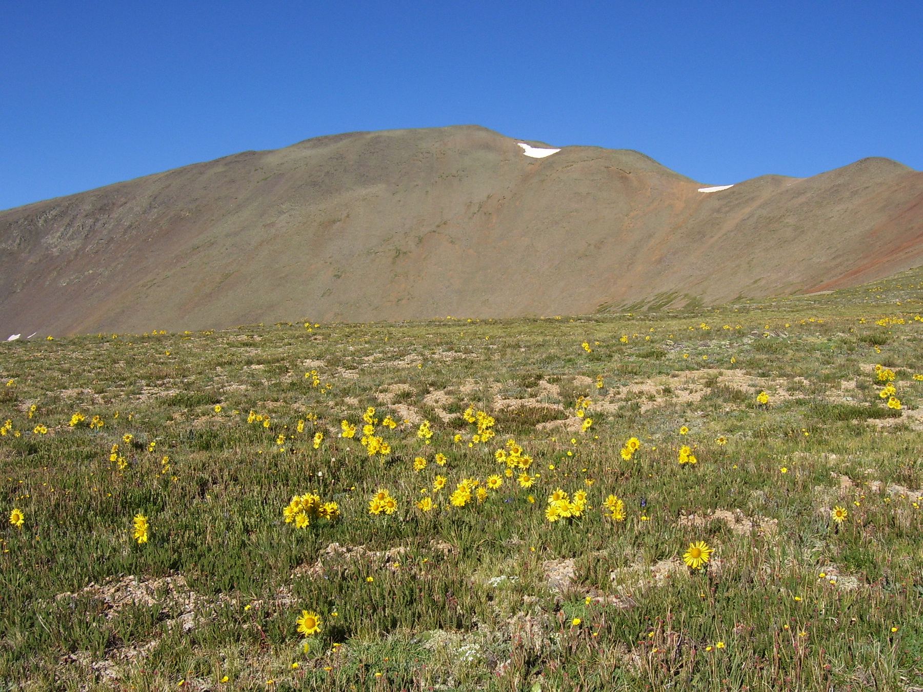
Afternoon storm risk is the line that matters. Everything else is comfort. In summer, plan to be off the ridge before the build-up starts, not as it starts. Forecast for the summit point, adjusted for its elevation · data from Open-Meteo.
Standard route · Northeast Ridge
Overview
San Luis Peak is one of the most remote 14ers in Colorado, in the La Garita Wilderness far from any town. The standard route is a long, gentle walk: a good trail follows Stewart Creek through forest and willows into a wide upper valley, switchbacks up to a saddle, and then follows the northeast ridge to the summit. It is all Class 1, on trail the whole way.
The round trip is about 13.5 miles with 3,600 feet of gain. Most hikers take 7 to 10 hours. The grade is easy for most of the way, but the distance adds up, and the last 2.5 miles are above treeline.
The main dangers are distance and remoteness. Storms can catch you on the open ridge a long way from shelter, and help is hours away. This is a good peak for fit hikers new to 14ers, as long as they respect the weather and the length of the day.
Plan of the day
Start by
By 5 a.m. You walk more than 4 miles before treeline and then are exposed for several hours. Many people camp at or near the trailhead the night before because of the long drive.
Turnaround
If you are not at the 13,100-foot saddle by 10:30 a.m., or if storms are building, turn back. From the saddle, the summit is still about a mile away.
Crux
There is no technical crux. The hardest part is the 800-foot climb up switchbacks to the saddle after 5 miles of walking.
Route-finding
Easy on a clear day. The trail can be hard to follow in the willows around 3 miles in, especially early in the season or after trees fall across it. Near 12,300 feet you must turn south, cross the creek and head for the saddle; in fog, take care here.
Water
Stewart Creek runs beside the trail for most of the way up to about 12,300 feet. None above that. Filter everything.
From U.S. 50 just east of Gunnison, turn south on Colorado 114. Drive 20 miles and turn right on NN14 Road. After 6.8 miles of dirt, at Dome Lakes, turn right on 15GG Road, which becomes Forest Road 794. Go 4 miles and bear right on 14DD Road (still FR 794). Drive 12 miles to a signed junction, keep straight toward Stewart Creek, and go 4.3 more miles to the trailhead. It is about 47 miles from U.S. 50 in total, mostly on dirt. Coming from the San Luis Valley, drive north on Colorado 114 to Dome Lakes and pick up the directions there.
The road crosses Pauline and Nutras Creeks on concrete slabs; a vehicle with good clearance is needed. There is room for a few cars at the trailhead, with more parking at the Eddiesville trailhead about a quarter mile back down the road. Plan on a long drive and bring extra fuel.
Trail in the treesTundraRidgeExposed to lightning
The line is elevation, the band underneath is the ground, and the numbered dots match the steps below. Mileage and elevations are approximate.
1
Stewart Creek trailhead 10,500' · 0 mi
The trail leaves from the small parking area and heads into the forest alongside Stewart Creek. It is well built and gently graded.
2
Old cabin remains 10,900' · 2 mi
After about 2 miles, you pass faint traces of an old log cabin on the left. The trail keeps climbing gradually along the creek.
3
Beaver ponds 11,100' · 2.5 mi
Pass beaver ponds and stands of dead spruce. The valley widens.
4
Willows 11,300' · 3 mi
The trail winds through willows. It can be hard to follow here in spring or after trees have fallen across it. Stay close to the creek and look for the tread.
Watch for: Easy place to lose the trail in early season.
5
Treeline 12,000' · 4.25 mi
The trees thin and the upper valley opens up. Keep heading southwest up the valley.
6
Turn south 12,300' · 4.6 mi
Near 12,300 feet, leave the valley line and turn south. Drop to the creek and cross it.
Watch for: Last water. Fill up here.
7
Base of the slope 12,300' · 4.9 mi
Walk through more willows to the bottom of a broad slope. Above is the saddle between Organ Mountain and San Luis Peak.
8
Switchbacks 12,700' · 5.3 mi
Climb a well-built trail with switchbacks up the slope, gaining about 800 feet in under a mile.
9
Saddle 13,100' · 5.7 mi
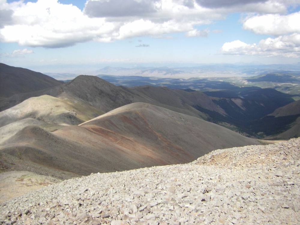
Reach the saddle. San Luis Peak's northeast ridge rises to the southwest. Cross the saddle toward a large point on the ridge.
The northeast route from the saddle · Photo: Mikejonesman
10
Around the large point 13,200' · 5.9 mi
The trail passes on the south side of the large point on the ridge rather than going over it.
11
Traverse to the ridge 13,500' · 6.2 mi
Traverse west, climbing gradually toward the ridge crest on a clear trail.
12
Northeast ridge 13,750' · 6.4 mi
Near 13,750 feet, gain the ridge and cross over to its west side. The trail then climbs back to the crest.
13
Summit 14,023' · 6.75 mi
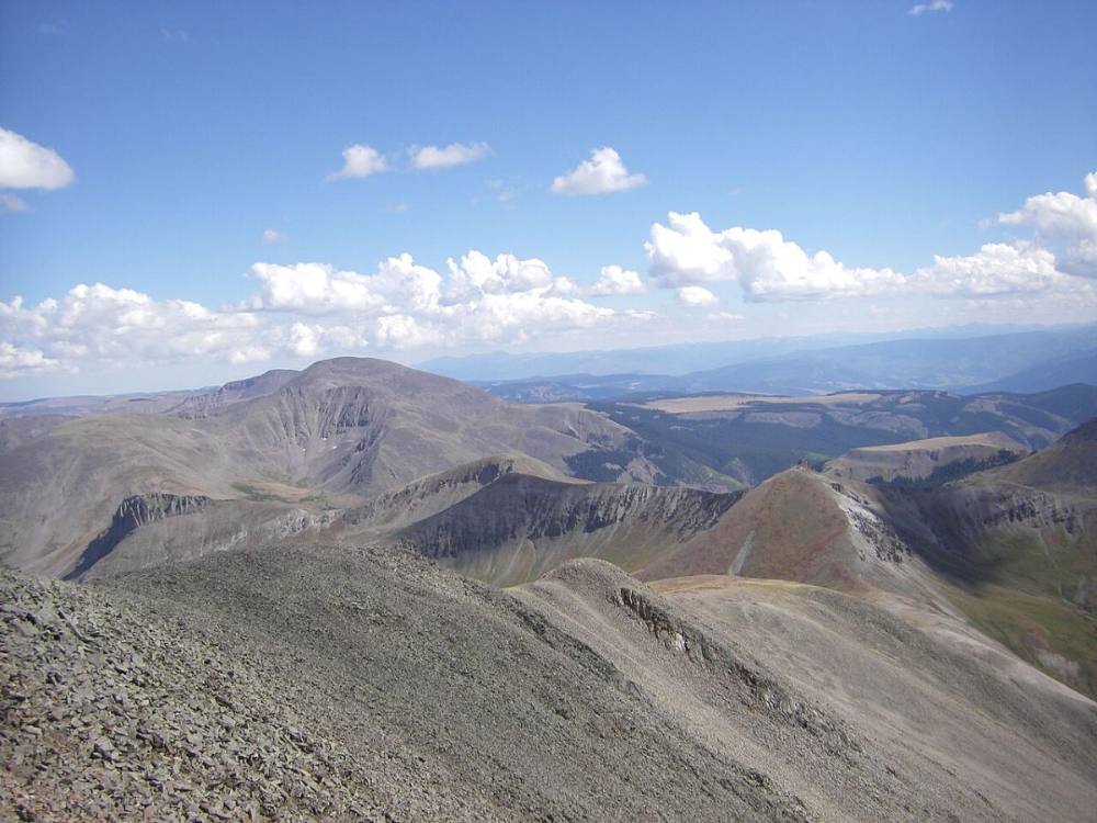
Follow the trail up the crest to the summit. The view takes in the wide La Garita Wilderness, with few signs of roads or towns.
Looking south from the summit · Photo: Mikejonesman
Landmarks to know
Stewart Creek alongside the trail
Faint log cabin remains on the left near 2 miles
Beaver ponds and dead spruce
Willow thickets near 3 miles
Creek crossing near 12,300 feet where you turn south
Switchbacks up to the 13,100-foot saddle below Organ Mountain
A large point on the northeast ridge, passed on its south side
Getting down
Go back the way you came. From the summit, follow the trail down the ridge, around the large point and back to the saddle. At the saddle, make sure you head down the switchbacks to the northeast, toward Stewart Creek. In fog it is possible to drop into the wrong drainage from the saddle.
At the bottom of the switchbacks, cross the creek and head back down the valley. In the willows around 3 miles from the trailhead, watch that you stay on the main trail. The rest is a long, easy walk through the forest.
If things go wrong
The saddle and the switchbacks below it are the quickest way down to lower ground. If a storm moves in, get off the ridge and down the switchbacks toward the valley. The trees near 12,000 feet are the first real shelter. This area is far from help and cell service may be poor; if someone is hurt, keep them warm, note your location, and call 911 if you can get a signal. Someone may need to walk out to find help.
3D flyover
Press play to fly the Northeast Ridge. The graph shows elevation along the way and how much you gain each mile. Open full screen.
For planning only. The line is traced from open map data, not walked in the field, and off-trail parts are drawn straight. Load it in your GPS app to see the route, but navigate with your eyes, a map and the route description.
See the trail on video
A climb of this route filmed by The Virtual sherpa. The video belongs to them and only plays when you press play. This video also takes in Baldy Alto and Stewart Peak, so parts of it differ from the route here.
Jump to
Other routes
All 2 routes up San Luis Peak, with the class and round-trip distance for each.
A Class 1 rating means a trail, not a stroll. Altitude, distance and weather still decide how this goes. Afternoon thunderstorms build fast above treeline in summer, so plan to be heading down by noon, and carry more water than you think you need.