Afternoon storm risk is the line that matters. Everything else is comfort. In summer, plan to be off the ridge before the build-up starts, not as it starts. Forecast for the summit point, adjusted for its elevation · data from Open-Meteo.
Centennial 13er · East Ridge
Overview
Mount Hope is a tall Sawatch peak rising above the Clear Creek valley south of Twin Lakes. The route follows the Colorado Trail up Sheep Gulch to Hope Pass, then turns west and climbs the peak's long east ridge. The trail part is steep but easy to follow. The ridge part is off-trail on tundra that slowly turns to rubble and talus.
The route is rated difficult Class 2. There is no real exposure, but the upper ridge is rough, and early in the season snow and a cornice can sit along the crest. The steepest hiking is actually on the trail: Sheep Gulch climbs hard from the start, and it is just as hard on the knees coming down.
The round trip is about 8 miles with about 4,200 feet of gain. Most people take 6 to 8 hours. It is a good step up for hikers who have done trail 14ers and want their first off-trail ridge.
Plan of the day
Start by
By 5:30 a.m. You reach Hope Pass in 2 to 3 hours and then spend 2 more hours or so on an open ridge before you are back at the pass.
Turnaround
If you are not at Hope Pass by 9 a.m., or clouds are building by the time you reach 13,400 feet, turn around. Aim to leave the summit by 11:30 a.m.
Crux
The rough section between about 13,400 and 13,800 feet, where the ridge turns to loose talus and early-season snow may cross your path.
Route-finding
The trail to Hope Pass is very clear. Above the pass, the ridge leads straight to the top. Stay on the south (left) side of the crest; the north side is cut by steep gullies. Several faint paths braid up the ridge.
Water
Sheep Gulch creek is near the trail in the lower and middle valley. There is no water at Hope Pass or on the ridge. Filter creek water.
From US 24 between Leadville and Buena Vista, turn west onto County Road 390, the graded dirt road toward Clear Creek Reservoir and Winfield. The turn is about 15 miles north of Buena Vista and about 4 miles south of the Highway 82 junction. Drive west about 9.25 miles. Just past some large beaver ponds, turn right onto a short road that leads to the Sheep Gulch trailhead parking.
The road is fine for passenger cars, though it can be washboarded. The lot sits in lodgepole forest and holds several cars. If you reach the turnoff for Rockdale, you went about half a mile too far. There are primitive campsites along CR 390, but spots go fast on weekends.
Trail in the treesTundraRidgeTalus and screeSnow or couloirExposed to lightning
The line is elevation, the band underneath is the ground, and the numbered dots match the steps below. Mileage and elevations are approximate.
1
Sheep Gulch trailhead 9,900' · 0 mi
The trail heads north out of the lot and starts climbing right away. This is part of the Colorado Trail. The forest here is lodgepole pine.
2
Steep lower gulch 10,400' · 0.5 mi
The first mile is the steepest trail of the day. The path is well worn and climbs without much letup. Take it slow and steady.
3
Aspen and conifers 10,900' · 1.1 mi
The grade eases a little. Lodgepole gives way to aspen and mixed conifers. You can hear the creek below.
4
Cross to the east side 11,300' · 1.7 mi
At about 11,300 feet the trail crosses over to the east side of the gulch. Trees thin out and the upper basin opens in front of you. Hope Pass is the obvious low point on the skyline ahead.
Watch for: Last good water source is near here. Fill up.
5
Upper basin 11,800' · 2.1 mi
The trail crosses more gentle ground in the open basin. You are near or above treeline now, and the wind can pick up.
6
Switchbacks to the pass 12,200' · 2.4 mi
The trail climbs a set of switchbacks up the final slope. The tread is good but steep in places.
7
Hope Pass 12,550' · 2.6 mi
The pass is a narrow saddle with big views down to Twin Lakes on the other side. Quail Mountain rises to the east. Turn left (west) and leave the trail to start up Mount Hope's east ridge.
Watch for: Check the weather here before committing to the ridge.
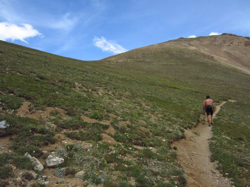
The last switchbacks below Hope Pass · Photo: eliduke
8
Lower east ridge 12,950' · 3 mi
The lower ridge is mostly tundra with a few steeper steps. Stay on the south (left) side of the crest. Faint paths come and go. You will see what looks like the summit several times before you actually reach it.
9
Rough section 13,400' · 3.4 mi
The tundra turns to embedded rock, then rubble and talus. This is the roughest part of the climb. Keep to the south side of the crest, away from the gullies that cut the north face.
Watch for: Early season: snow and a cornice can run along the crest here. Stay well back from the north edge.
10
Snowfield area 13,700' · 3.7 mi
Around 13,700 feet a patch of snow can linger into midsummer and may have to be crossed. Past it, the steep ground eases.
Watch for: Hard snow in the morning. Use an ice axe or go around it if you can.
11
Summit plateau 13,850' · 3.9 mi
Above 13,800 feet the ridge rounds off into a mix of broken rock and tundra. Walk the easy plateau west to the high point.
12
Summit 13,939' · 4 mi
The summit has open views in every direction. Mount Elbert fills the view to the north. To the south you see Huron, Missouri, Belford and Oxford. Rest briefly, then start down.
Along the route
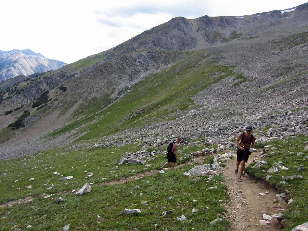
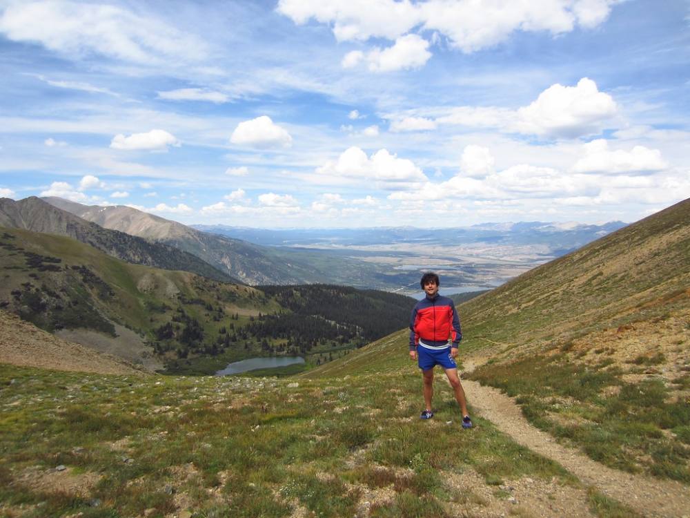
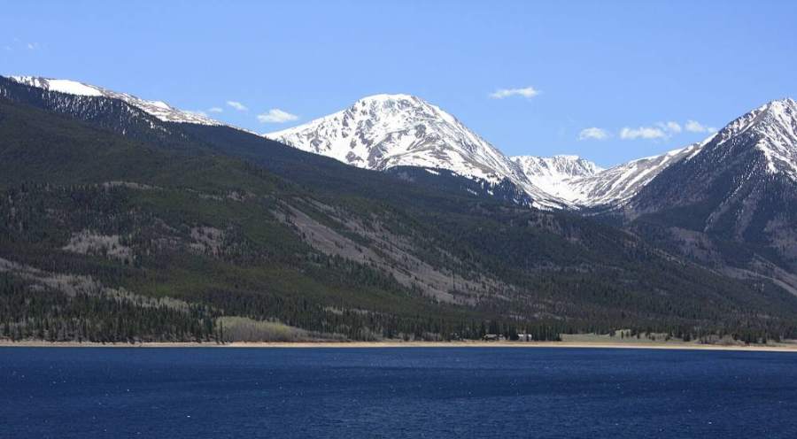
The trail toward Hope Pass · Photo: elidukeClimbing toward Hope Pass · Photo: elidukeMount Hope from Twin Lakes · Photo: David Herrera
Landmarks to know
Beaver ponds on CR 390 just before the trailhead turn
Lodgepole forest turning to aspen as the gulch climbs
Trail crossing to the east side of the gulch around 11,300 feet
Hope Pass, the obvious saddle on the skyline
Twin Lakes visible from the pass to the north
Big gullies on the north side of the ridge (keep them to your right)
Broad, flat summit plateau with a cairn
Getting down
Return down the east ridge to Hope Pass. The ridge is simple to follow in clear weather. In clouds, make sure you are heading east and down, and do not drift north toward the gullies. From the pass, pick up the trail and head back down Sheep Gulch.
The trail descent is steep and long, and most slips happen on loose gravel in the lower mile. Use poles and take your time. Do not follow side paths at the switchbacks; stay on the main trail.
If things go wrong
Hope Pass is your main safety point. If weather turns on the ridge, get back to the pass and down into the trees on the Sheep Gulch side. Do not try to drop off the north side of the ridge; it is steep and gullied. If someone is hurt, keep them warm and sheltered from wind, mark your location, and call 911. The Colorado Trail sees steady traffic in summer, so other hikers may be able to help carry word out.
3D flyover
No 3D flyover for this peak
At Hope Pass the route leaves the trail. The last 1.4 miles follow the east ridge with no set trail. A flyover only works when there is a set trail to trace. Without one, the line would be a guess, and a guess could send you the wrong way on the mountain. Use the step-by-step route with a good map and GPS track instead.
See the trail on video
A climb of this route filmed by The Virtual sherpa. The video belongs to them and only plays when you press play.
This describes the route on a dry summer day. Snow, ice, a washed-out road or an afternoon storm can make it a very different climb. Check recent conditions the week you go and turn around when the day tells you to.