Overview
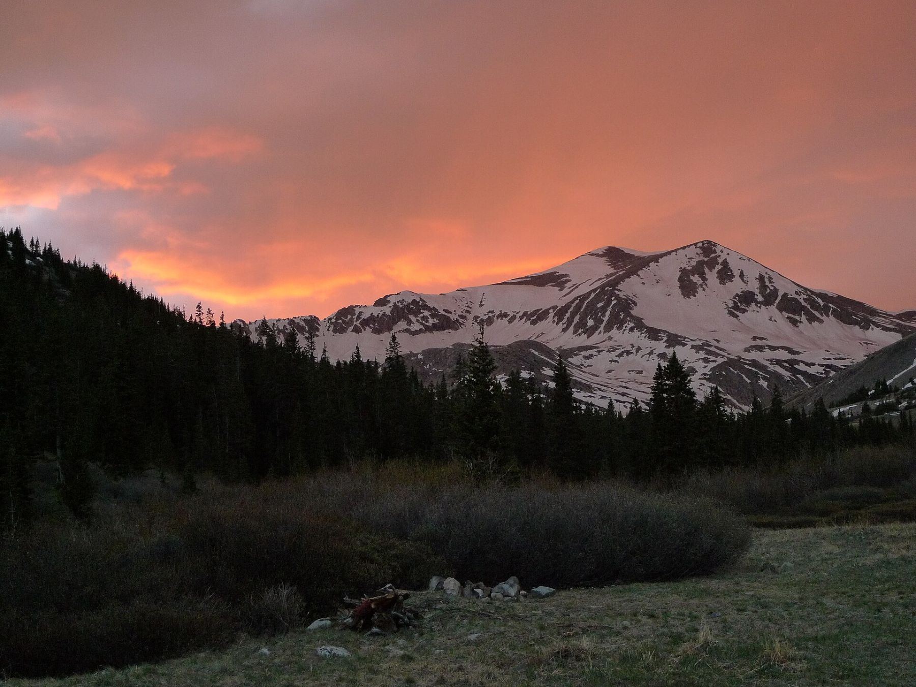
This is a short, direct snow climb up the south side of Mount Democrat from Kite Lake. The slope has a line of rock outcrops across its middle that form several chutes. You climb one of these chutes, pass through the rock band, and walk the easier upper slope to the top.
It is rated Difficult Class 2 with moderate snow. It is a good early-season objective for climbers with basic ice axe and crampon skills. It is steeper and more direct than the standard route from the same trailhead.
It is only about 2.5 miles round trip with 2,150 feet of gain. Most parties take 3 to 5 hours. Because the trailhead is high, you are above treeline from the start.
Plan of the day
By 5 a.m. The south-facing slope softens quickly in the sun.
If you are not through the rock band near 13,400 feet by 9 a.m., or the snow is getting soft, turn around.
The chute through the rock outcrops near 13,400 feet. It is the steepest part and may have rock showing through.
Fairly simple. Enter the small basin, leave it at the west end above Lake Emma, then head for the rock band in the middle of the south slope and choose a chute.
Kite Lake and snowmelt near the start. Carry 1.5 to 2 liters.
Getting to the trailhead
Kite Lake
Take Colorado 9 to Alma. A small Kite Lake sign stands on the highway's west side in the middle of town. Turn there and drive through a short residential area.
Kite Lake is about 6 miles farther on, and the road gets rougher for its final mile. In dry weather, a 2WD car with good clearance can make it to a spot a couple hundred yards short of the lot. There are restrooms and some campsites, and a parking fee is charged. Early in the season the road may still be blocked by snow lower down.
Base towns and camping for this climb
Coming from out of state? See Lodging & Camping for how free camping works, what is closed this year and where to stay.
Before you go
Check these the week of your climb.
Official forecast
The National Weather Service forecast for the summit area, hour by hour. Look for thunderstorm chances and wind above treeline.
NWS point forecast →Directions to the trailhead
Kite Lake. Road conditions near the trailhead change after storms. Check your clearance and have a backup plan for a lower lot.
Get directions →Roads and highways
Closures, construction and winter conditions on the highways that get you there.
COtrip road conditions →Closures and fire rules
Trail closures, fire bans and other alerts from the Forest Service in Colorado. For the latest on your trailhead, call the local ranger district.
Forest Service alerts →Snow on the route?
From fall through early summer, any snow slope can slide. Check the avalanche forecast before you go.
Avalanche forecast →Cell signal
Most trailheads and many summits have little or no signal. Check coverage near the trailhead and carry a satellite messenger or beacon if you can.
FCC coverage map →