Overview
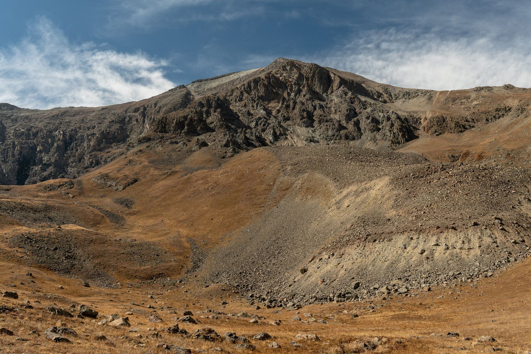
The West Slopes route on Handies Peak is a snow climb up a long, broad couloir on the east side of American Basin. It goes straight up from the basin floor to near the summit. It is Class 2 with moderate snow.
The couloir averages about 32 degrees and reaches about 38 degrees near 13,200 feet. It suits climbers who already know how to use an ice axe and crampons. It is more direct and steeper than the standard summer trail, which stays on gentler ground to the south.
The route is about 5 miles round trip with 2,800 feet of gain if you park below the trailhead. Plan on 4 to 6 hours.
Plan of the day
Before dawn, around 4 or 5 a.m. You want firm, frozen snow in the couloir.
If the snow is soft or you are not near 13,100 feet by about 8:30 a.m., turn around. Wet snow on a 35-degree slope is dangerous.
The steep section around 13,100 to 13,300 feet, where the slope reaches about 38 degrees.
Easy. Follow the basin trail to about 12,200 feet, then turn left toward the broad couloir on the north side of the west slopes. The couloir leads almost to the top.
Streams and snowmelt in American Basin. Filter or treat it. Carry at least 2 liters.
Getting to the trailhead
American Basin
Head south from Lake City on Colorado 149 for about 2 miles, then go right on County Road 30, the road to Cinnamon Pass. It is more than 20 miles to the trailhead. Keep right near 11.8 miles. The road gets rougher after 12.5 miles, and from about 13 to 14.5 miles it is a narrow shelf road. After you pass the Grizzly Gulch trailhead, the road requires 4WD or AWD.
At a signed junction near 20 miles, turn left for American Basin. The trailhead is 0.9 mile farther. You cross a stream after 0.2 mile, then the road narrows and gets harder; there are parking spots along here. Do not trust phone map apps for directions here, since they may try to send you over Cinnamon Pass. In early season, snow often blocks the upper road.
Base towns and camping for this climb
Coming from out of state? See Lodging & Camping for how free camping works, what is closed this year and where to stay.
Before you go
Check these the week of your climb.
Official forecast
The National Weather Service forecast for the summit area, hour by hour. Look for thunderstorm chances and wind above treeline.
NWS point forecast →Directions to the trailhead
American Basin. Road conditions near the trailhead change after storms. Check your clearance and have a backup plan for a lower lot.
Get directions →Roads and highways
Closures, construction and winter conditions on the highways that get you there.
COtrip road conditions →Closures and fire rules
Trail closures, fire bans and other alerts from the Forest Service in Colorado. For the latest on your trailhead, call the local ranger district.
Forest Service alerts →Snow on the route?
From fall through early summer, any snow slope can slide. Check the avalanche forecast before you go.
Avalanche forecast →Cell signal
Most trailheads and many summits have little or no signal. Check coverage near the trailhead and carry a satellite messenger or beacon if you can.
FCC coverage map →