Afternoon storm risk is the line that matters. Everything else is comfort. In summer, plan to be off the ridge before the build-up starts, not as it starts. Forecast for the summit point, adjusted for its elevation · data from Open-Meteo.
Alternate route · Southwest Slopes
Overview
This route climbs Huron Peak from the southwest, starting at the Lake Ann trailhead south of Winfield. It follows an old mining trail into the forest, then pushes through thick trees and boulder fields to open slopes below a saddle. From the saddle it climbs Huron's southeast ridge to the top. It is Class 2 but has hard route-finding low down.
It suits hikers with off-trail experience who want a quiet way up Huron. The lower part is rough. Fallen trees, faint paths and dense forest slow you down. The upper ridge is much more enjoyable, with rock outcrops and good views of the Three Apostles.
The round trip is about 9 miles with roughly 3,600 feet of gain from the Lake Ann trailhead. Plan on 7 to 9 hours car to car. It is harder and slower than the standard route, even though the distance is similar.
Plan of the day
Start by
By 5:30 a.m. The forest section takes longer than you expect.
Turnaround
If you are not at the saddle above 13,000 feet by 10:30 a.m., or storms are forming, turn back.
Crux
Finding your way through the thick forest and two boulder fields between about 11,600 and 11,900 feet. Finding the corner in the old mine trail at 11,600 feet is the key to the whole route.
Route-finding
Hard low down. The mine trail is unmaintained and has many fallen trees. Above the corner at 11,600 feet, the path is faint or gone. Keep heading southeast, then east, without losing height. Above treeline, Point 13,472 is a good guide.
Water
Streams near the Lake Ann trail have water. Above the old mine trail, water is not reliable. Carry 2 to 3 liters and filter anything you collect.
Chaffee County Road 390 leaves U.S. 24 20 miles south of Leadville, where you make a right. Coming from Buena Vista instead, go left onto it after heading north on U.S. 24 for 14.5 miles. This dirt road reaches Winfield after 12 miles; go left at Winfield. The lower 2WD trailhead in south Winfield comes up 0.1 mile later. It has a large area for parking and camping, and there are more pull-offs farther up.
About 0.4 mile past Winfield, the road becomes 4WD. It is rough and narrow and needs good clearance. Keep right at the junction you meet at 0.7 mile. Around 1.7 miles, the valley widens and you will find spots to park beside the road. The Lake Ann trailhead is at the end of the road, 2.1 miles from Winfield. Stats assume you start there. Starting at the 2WD lot adds about 4 miles round trip.
Trail in the treesTalus and screeRidgeExposed to lightning
The line is elevation, the band underneath is the ground, and the numbered dots match the steps below. Mileage and elevations are approximate.
1
Lake Ann trailhead 10,500' · 0 mi
Go by the kiosk and take the trail south, heading for Apostle Basin and Lake Ann.
2
View of the Three Apostles 10,700' · 1 mi
Roughly a mile on, you can see North Apostle, Ice Mountain and West Apostle off to the south.
3
First trail junction 10,800' · 1.5 mi
At a junction about 1.5 miles in, stay left.
4
Old mine trail 10,850' · 1.6 mi
Walk about 0.1 mile farther into the trees to an unmarked junction. Turn sharply left onto an old trail that climbs east toward some mines.
Watch for: The trail is not maintained. Expect many fallen trees.
5
Old shack 11,000' · 1.9 mi
The trail now climbs east through the trees. Near 11,000 feet you go by what is left of an old shack.
6
Corner at 11,600 feet 11,600' · 2.4 mi
About half a mile past the shack, the trail makes a corner. Just before another shack on the mine trail, a faint path heads southeast into the trees on the right. Take it.
Watch for: Finding this corner is the key to the route.
7
First boulder field 11,700' · 2.55 mi
Follow the faint path into thick forest with many fallen trees. If you lose it, keep going southeast without losing height. After about 0.15 mile you come out at a boulder field. Angle east across it toward the trees on the far side.
Watch for: Cairns may or may not be there. Trust your direction.
8
Second boulder field 11,800' · 2.7 mi
Push east through thick trees again for about 0.1 mile. Break out onto a second boulder field above 11,800 feet.
9
Small cliffs 11,900' · 2.9 mi
Cross the boulder field, gaining height slowly as you go east. Weave through willows toward a small band of cliffs. Pass to the left of them.
10
Flat spot below the saddle 12,500' · 3.6 mi
Continue east, with the steep southwest slopes rising to your left. Head for Point 13,472, keeping to its left. At about 12,500 feet you come to open, level ground beneath the saddle that links Huron with that point.
11
Saddle above 13,000 feet 13,050' · 3.9 mi
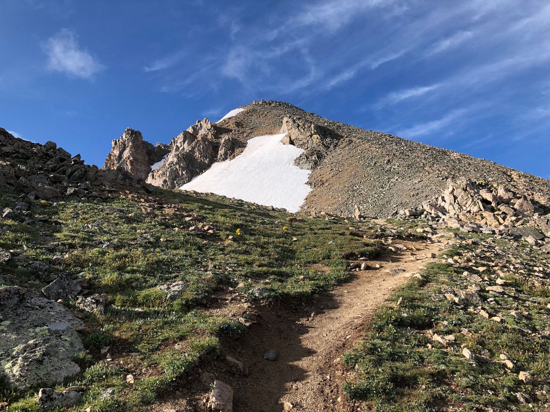
Go up north-northeast over grass; where the steep slope starts, the grass gives way to talus and scree. Move a bit left to reach grass again and climb to the saddle.
Watch for: Scree here is loose. Stay on grass where you can.
12
13,400-foot point 13,400' · 4.1 mi
Go left once you gain Huron's southeast ridge. Follow it northwest until you top out on the first point.
13
13,780-foot point 13,780' · 4.35 mi
Keep following the ridge to the top of a broad point near 13,780 feet. The rest of the route is in view from here.
14
Summit of Huron Peak 14,006' · 4.5 mi
Drop a little, then climb rock outcrops along the ridge. Keep on the crest, or slightly left of it, all the way to the top.
Watch for: Watch for loose rock in the outcrops.
Getting down
Go back the way you came. The upper ridge and slopes to the flat spot at 12,500 feet are simple. Below that, take care to head back west past the small cliffs and through the two boulder fields at the right height. Find the faint path back northwest through the trees to the corner on the old mine trail at 11,600 feet. Then follow the mine trail west and down to the Lake Ann trail, turn right, and walk north to the trailhead.
If things go wrong
Above treeline, the fastest way off is back down to the flat spot at 12,500 feet and then west along your approach. Do not try to shortcut straight down through the forest, as it is steep and thick with fallen trees. If you get lost in the trees, head north and west until you hit the old mine trail or the Lake Ann trail. In an emergency, call 911 if you have signal.
This describes the route in its usual season. Distances and elevations are close estimates for planning. Snow, ice, rockfall, a washed-out road or an afternoon storm can make it a very different climb. Check recent conditions the week you go and turn around when the day tells you to.