Overview
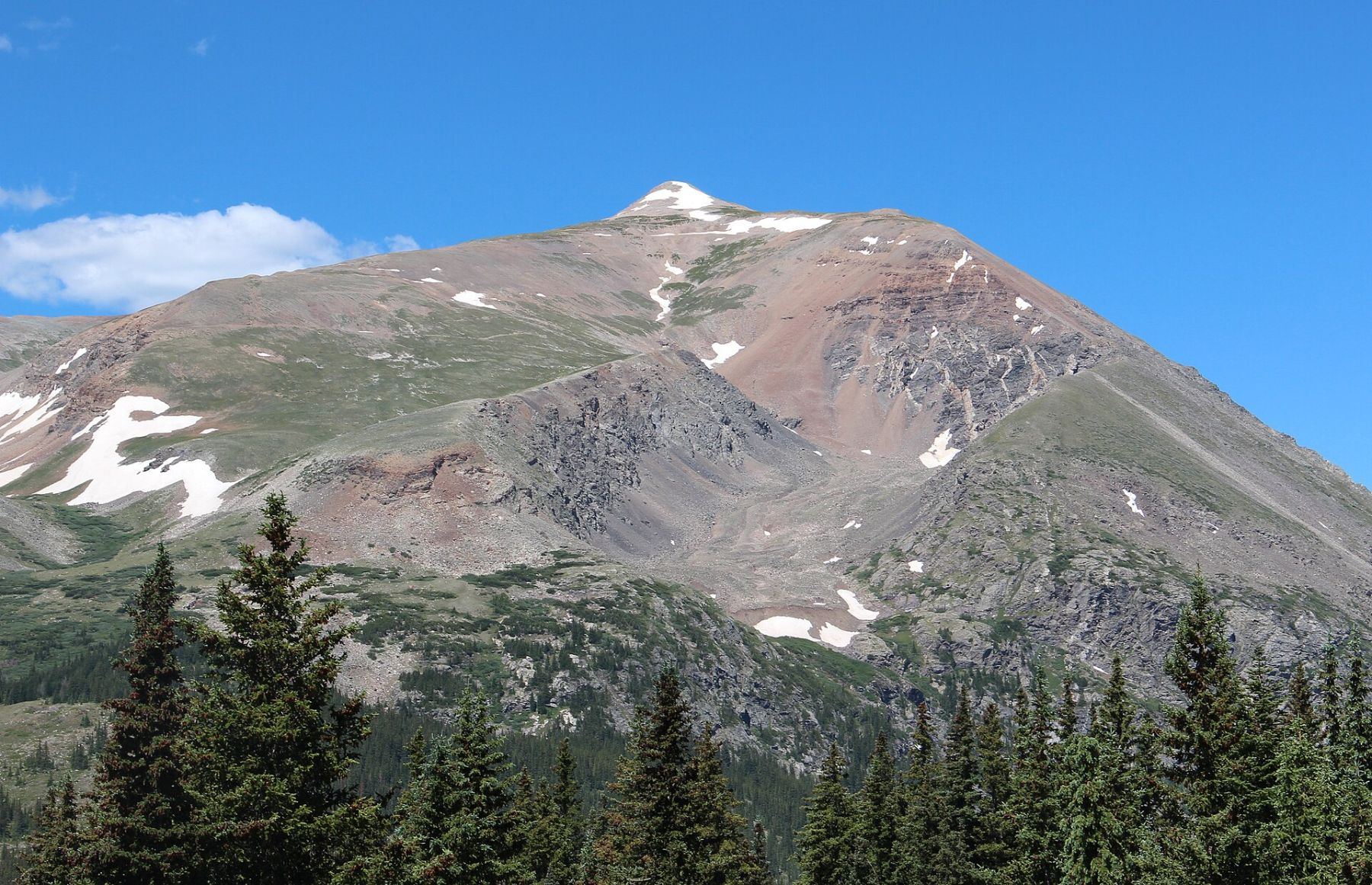
This route climbs Mount Lincoln from the east, starting at the Quartzville site above Alma. It follows old mining roads up Lincoln's east shoulder almost to the summit cone, then finishes on the northeast ridge. It is Class 2, mostly easy road walking with a short rocky finish.
It suits hikers who want a short, direct way up Lincoln away from the crowded Kite Lake loop. The round trip is about 6.5 miles with roughly 2,650 feet of gain. You start high, so you are above treeline most of the day. There are many side roads and old prospects, so pay attention to stay on the main road.
Most people take 4 to 6 hours car to car. The last half mile of road to the trailhead needs 4WD, and much of the land along the way is private.
Plan of the day
By 6 a.m. The whole route is above treeline with no cover.
If you are not at the Russia Mine near 13,800 feet by 10:30 a.m., or clouds are building, turn around.
The summit cone. When it is dry, you traverse north below the cone and climb the northeast ridge on Class 2 rock.
Easy to moderate. Stay on the main road. It bends right near 13,000 feet before the Cameron Amphitheatre, and then you turn left near 13,200 feet. Many side roads lead to old mine sites.
There is no dependable water on this route. Carry all you need, about 2 liters.
Getting to the trailhead
Quartzville
From Fairplay, take Colorado 9 north to Alma. Continue about half a mile past town and turn left onto Park County Road 6. The trailhead is about 4.5 miles from this turn. Go left on Quartzville road at 1.4 miles. The intersection near 2.2 miles is confusing; take the sharp left there. Keep right at 3.5 miles, where Zinc Road splits off. At 4.0 miles there is another intersection with Mount Lincoln straight ahead. Keep right and follow the road around a bend.
Roughly 4.1 miles in, go left on a forest road that is now named Crest Drive. Signs here mark private property. People used to park at this spot, but the landowners have closed it, so do not park there. The Quartzville site is on your right after roughly half a mile more on the 4WD road. If your vehicle cannot handle that last stretch, find a legal place to park and walk.
Base towns and camping for this climb
Coming from out of state? See Lodging & Camping for how free camping works, what is closed this year and where to stay.
Before you go
Check these the week of your climb.
Official forecast
The National Weather Service forecast for the summit area, hour by hour. Look for thunderstorm chances and wind above treeline.
NWS point forecast →Directions to the trailhead
Quartzville. Road conditions near the trailhead change after storms. Check your clearance and have a backup plan for a lower lot.
Get directions →Roads and highways
Closures, construction and winter conditions on the highways that get you there.
COtrip road conditions →Closures and fire rules
Trail closures, fire bans and other alerts from the Forest Service in Colorado. For the latest on your trailhead, call the local ranger district.
Forest Service alerts →Snow on the route?
From fall through early summer, any snow slope can slide. Check the avalanche forecast before you go.
Avalanche forecast →Cell signal
Most trailheads and many summits have little or no signal. Check coverage near the trailhead and carry a satellite messenger or beacon if you can.
FCC coverage map →