Afternoon storm risk is the line that matters. Everything else is comfort. In summer, plan to be off the ridge before the build-up starts, not as it starts. Forecast for the summit point, adjusted for its elevation · data from Open-Meteo.
Alternate route · Southwest Slopes
Overview
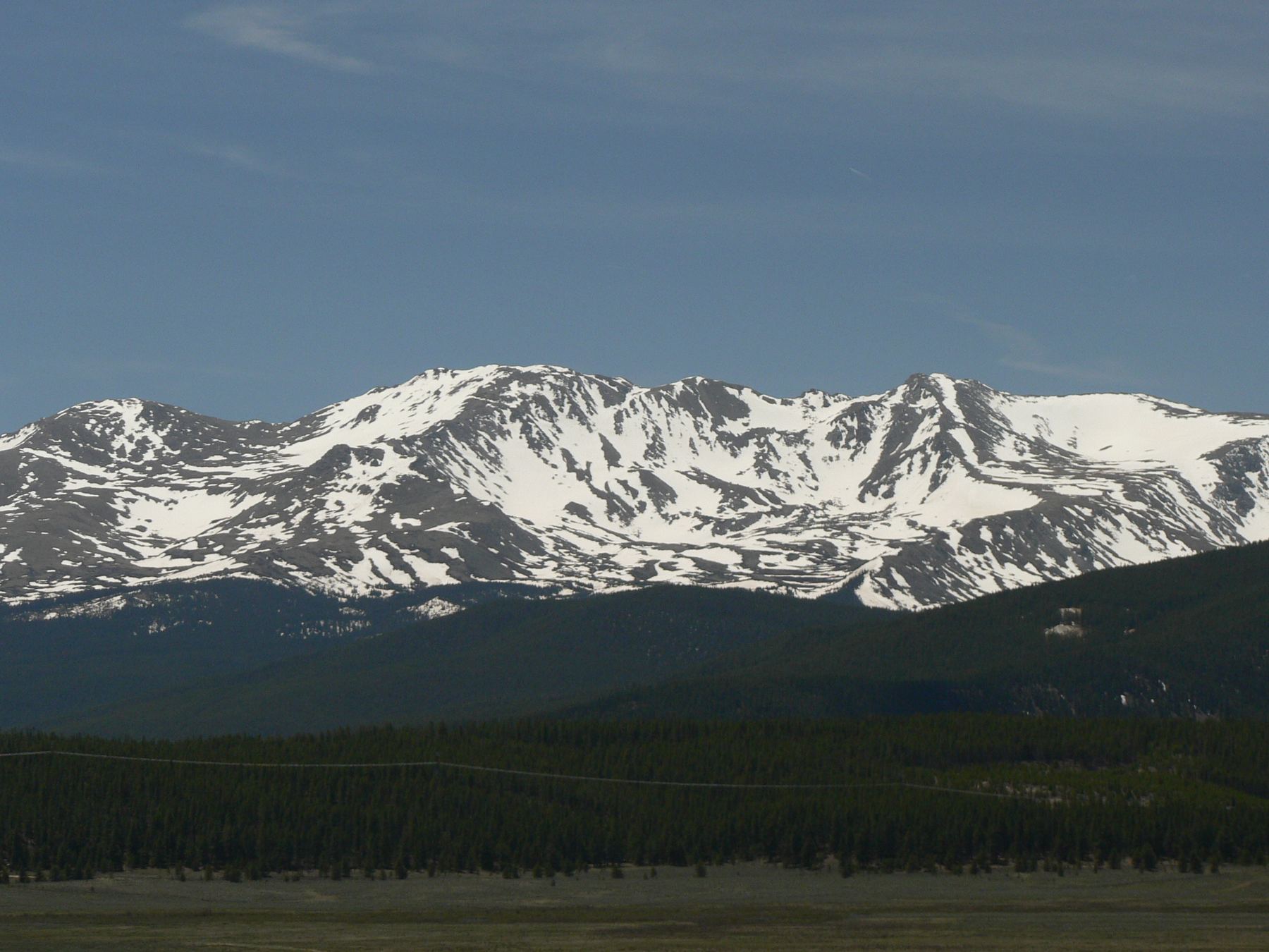
The Southwest Slopes route climbs Mount Massive from the North Halfmoon trailhead. It follows the North Halfmoon Lakes trail, then a steep side trail up the southwest slopes to the summit ridge, where it meets the standard East Slopes trail. It is about 8 miles round trip with about 4,000 feet of gain.
No route on Massive is shorter, and it is Class 2 on trail most of the way. But the rough 4WD road to the trailhead and the steep, relentless grade make it harder than it looks. The standard East Slopes route is longer but easier. This route suits strong hikers with a high-clearance vehicle who want a shorter, steeper day.
Plan on 6 to 9 hours car to car.
Plan of the day
Start by
By 5 a.m. The upper half of the route is open slope and ridge.
Turnaround
If you are not near the top of the southwest ridge at about 14,200 feet by 10:30 a.m., or storms are building, turn around.
Crux
The long, steep switchbacks up to the ridge between about 13,000 and 14,200 feet, and the rocky summit ridge beyond the East Slopes junction.
Route-finding
Moderate. Turn right off the North Halfmoon Lakes trail at the 11,200-foot junction. The trail is faint in the boulder fields. On the way down, do not miss your turn at the junction with the East Slopes trail.
Water
North Halfmoon Creek and streams near the start. None above the boulder fields. Carry about 3 liters and treat any water you collect.
South of Leadville, leave U.S. 24 for Colorado 300 and go 0.7 mile. Go left on County Road 11 for 1.2 miles, then right on Halfmoon Creek Road. Follow it 5.5 miles to the main Mount Massive parking area. 2WD cars should stop here.
Past this point the road, now Forest Service 101, is narrow and needs 4WD. At about 7.6 miles from the highway turn, you reach a junction with FS 110J. Park here if you do not have a high-clearance 4WD. Otherwise, keep right for 0.5 mile to the signed trailhead.
Trail in the treesTalus and screeTundraRidgeExposed to lightning
The line is elevation, the band underneath is the ground, and the numbered dots match the steps below. Mileage and elevations are approximate.
1
North Halfmoon trailhead 10,500' · 0 mi
Start up the North Halfmoon Lakes trail into the forest.
2
Edge of the forest 10,950' · 1.25 mi
After about 1.25 miles the trees open, and the southwest slopes appear ahead. Leave the forest and weave through willows across the open ground.
3
Trail junction 11,200' · 1.5 mi
The main trail keeps going west to North Halfmoon Lakes. Take the right-hand trail toward Massive.
Watch for: Easy to miss. Watch for the turn.
4
First boulder field 11,400' · 1.7 mi
Climb steeply through the trees and cross a small boulder field.
5
Second boulder field 11,700' · 2 mi
Reach a bigger boulder field. The trail is harder to follow as it winds through the rocks. Near 11,900 feet, it turns right (northeast) and climbs out of the rocks.
Watch for: Look for cairns and the worn path.
6
Steep switchbacks 12,000' · 2.2 mi
Switchback up the steep slope. At about 12,200 feet the ground eases and the trail traverses northeast.
7
Pointed rock pile 12,300' · 2.5 mi
Walk to a pointed rock pile. From here, most of the rest of the route shows to your left.
8
Small hill 12,500' · 2.8 mi
Pass through some willows and go north over a small hill. Get ready for the steeper climb ahead and up to your left.
9
Zigzag trail to the ridge 14,000' · 3.4 mi
Climb north-northwest on a zigzag trail toward a ridge that joins the summit ridge. Above 14,000 feet the switchbacks get tighter and lead to a notch, where the trail turns right.
Watch for: This is long and steep. Pace yourself.
10
Top of the southwest ridge 14,200' · 3.6 mi
Continue northeast to the top of the ridge. The summit ridge is now in sight.
11
East Slopes trail junction 14,150' · 3.7 mi
Drop a little to a notch. The standard East Slopes trail joins here. Take a good look around so you can find this spot on the way down.
Watch for: Do not take the East Slopes trail on your descent. It goes to a different trailhead.
12
False summit 14,350' · 3.9 mi
Stay right of the ridge crest through rocky ground. Pass another point to reach easier ground on the crest. Go over a false summit. At last you can see the true summit.
13
Mount Massive summit 14,427' · 4 mi
Drop slightly to a saddle, then walk up to the top.
Getting down
Go back the way you came. Along the summit ridge, watch for the notch where the East Slopes trail joins. Stay on your route and climb slightly to the top of the southwest ridge, then head down the zigzag trail. The steep switchbacks and boulder fields are slow going down. At the 11,200-foot junction, turn left onto the North Halfmoon Lakes trail and follow it back to the trailhead.
If things go wrong
The fastest way off is back down the southwest slopes the way you came. Below about 12,000 feet you reach trees that give some shelter. If a storm catches you on the ridge, head down at once. In an emergency call 911 if you have signal.
Other routes
Every way up Mount Massive we list, with its class.
This describes the route in its usual season. Distances and elevations are close estimates for planning. Snow, ice, rockfall, a washed-out road or an afternoon storm can make it a very different climb. Check recent conditions the week you go and turn around when the day tells you to.