Afternoon storm risk is the line that matters. Everything else is comfort. In summer, plan to be off the ridge before the build-up starts, not as it starts. Forecast for the summit point, adjusted for its elevation · data from Open-Meteo.
Alternate route · South Ridge
Overview
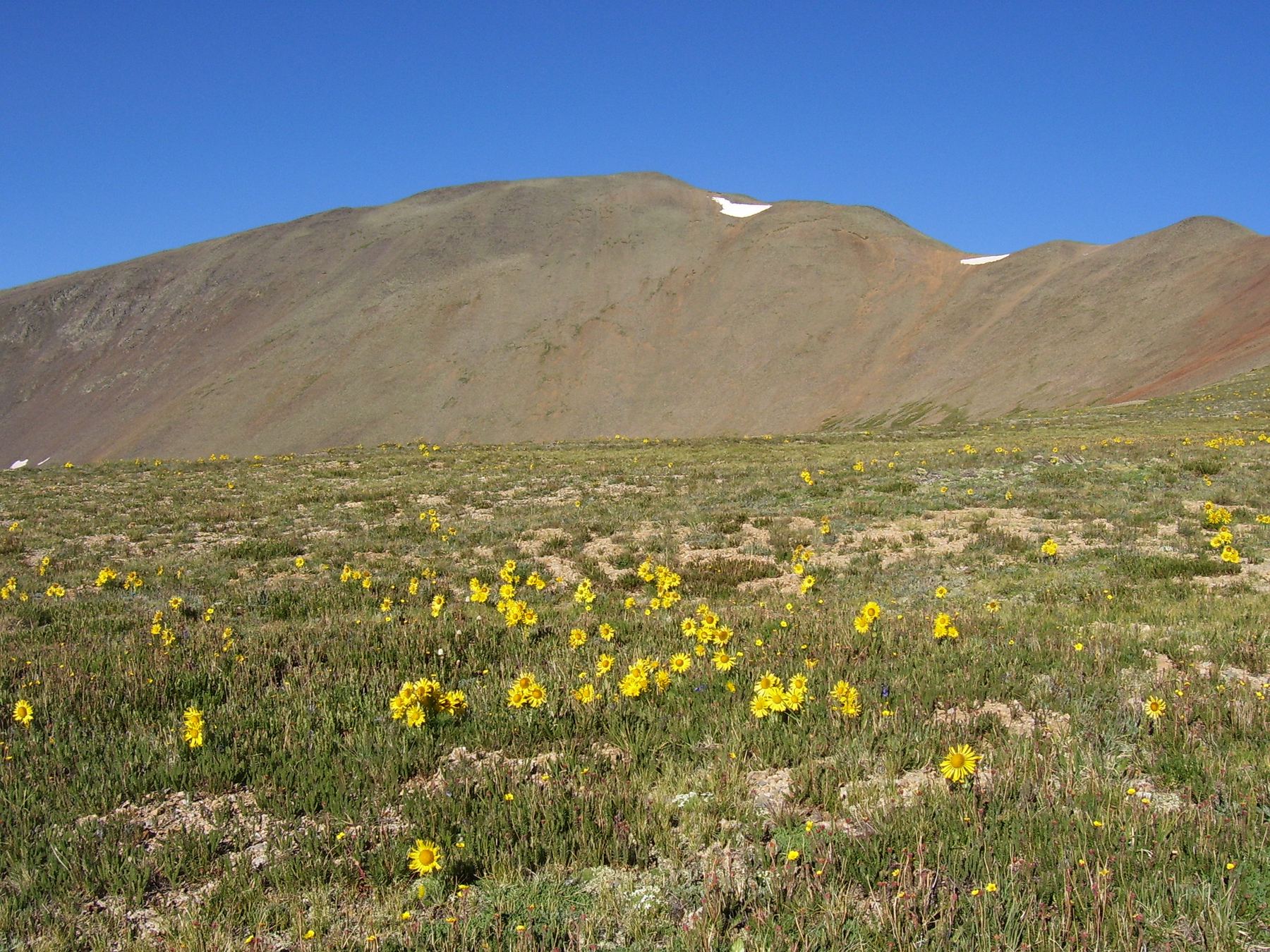
The South Ridge route climbs San Luis Peak from the West Willow Creek trailhead north of Creede. It follows an old road to a ridge, then joins the Continental Divide Trail across two high basins before climbing San Luis Peak's south ridge on a good trail. It is Class 1 the whole way.
It suits hikers who want a long, scenic walk with no scrambling. It is about 11.25 miles round trip with roughly 3,400 feet of gain, including some ups and downs between basins that you must climb again on the way back. Most of the route is above tree line.
Compared with the standard route from Stewart Creek, this start is higher, but the drive in needs 4WD for the last part. Plan on 7 to 9 hours round trip.
Plan of the day
Start by
By 5 a.m. Nearly the whole route is above tree line, with little shelter from storms.
Turnaround
If you are not at the 12,600-foot saddle below the south ridge by about 10 a.m., or storms are building, turn around. Remember you have to climb back out of two basins on the return.
Crux
There is no technical crux. The challenge is the length, the ups and downs, and being exposed for hours.
Route-finding
Moderate. Watch for the right turn onto the old road just up the hill, the faint trail that drops north off the ridge to meet the Continental Divide Trail, and the spot at the 12,600-foot saddle where you leave that trail for the south ridge.
Water
Small streams cross the trail near the start, and there may be water in the basins early in the season. Filter or treat it. Carry at least 3 liters.
You will find the West Willow Creek trailhead just under 9 miles north of Creede. From Colorado 149 in Creede, take Main Street north through town; it turns into Loma Avenue and then Road 503. Reset your trip meter where the road turns to dirt. You pass a mining museum, then drive up a gorge full of old mine remains. A sharp left bend at the Midwest Mine site comes at 2.9 miles. At 4.8 miles, go straight on Road 503 at a big junction with Road 504.
Near the Equity Mine, at 7.1 miles, go left to remain on Road 503. The 2WD road ends here; the last 1.5 miles need 4WD and good clearance. The road switchbacks down to a creek crossing at 8.2 miles. If you do not have 4WD, park at the pull-off before the creek. At 8.7 miles, on a sharp left turn, is the unmarked trailhead; it has space for several cars and some tents.
RoadRidgeTundraExposed to lightning
The line is elevation, the band underneath is the ground, and the numbered dots match the steps below. Mileage and elevations are approximate.
1
West Willow Creek trailhead 11,100' · 0 mi
A few feet away, at the sharp bend, the marked trail heads north; start up it. Head northeast, crossing two small streams.
2
Old road junction 11,300' · 0.4 mi
Partway up the hill, bear right off the main trail onto an old road.
Watch for: This turn is easy to miss.
3
Ridge crest beside the rocky point 12,350' · 1.5 mi
The old road leads northeast out of the trees and reaches the ridge crest just right of a rocky point. The road ends here.
4
Continental Divide Trail 12,250' · 1.6 mi
Walk a short way left and find a faint trail that drops north about 100 feet to meet the Continental Divide Trail, which is also the Colorado Trail. Turn right.
Watch for: Note this spot for the way back.
5
Dead spruce forest 12,000' · 2 mi
Head east on the trail, drop about 250 feet and pass through a stand of dead spruce trees.
6
Bondholder Meadows sign 12,100' · 2.8 mi
Cross the upper Spring Creek basin to the southeast. Near 12,100 feet, about halfway, you reach a sign for Bondholder Meadows. Go left here.
7
Saddle south of Point 12,562 12,350' · 3.4 mi
Go up to a saddle on Point 12,562's south ridge and over it.
8
Second basin 12,250' · 3.9 mi
Continue east into another basin, heading toward Point 13,155.
9
12,600-foot saddle 12,600' · 4.6 mi
On the far side of the basin, climb to the broad saddle between San Luis and Point 13,155. Leave the Continental Divide Trail and go left (north) on the south ridge trail.
Watch for: Do not stay on the Continental Divide Trail past this saddle.
10
Back on the ridge 13,100' · 5 mi
The trail moves onto the ridge's east flank, then regains the crest near 13,100 feet.
11
Summit of San Luis Peak 14,023' · 5.6 mi
Plenty of cairns mark the trail as it climbs the ridge to the summit.
Getting down
Go back the same way. Leave the south ridge at the 12,600-foot saddle, follow the Continental Divide Trail west across both basins and back up past the dead spruce forest, then climb the faint trail up to the ridge and walk down the old road to the main trail and the trailhead. Budget energy for the climbs out of the basins on the return.
If things go wrong
There is no quick way off this route. The fastest way out is back the way you came along the Continental Divide Trail. If a storm catches you on the upper ridge, get off the crest and head down to the saddle and into the basin, away from high points. In an emergency, call 911 if you have signal; this area is remote and help can take many hours.
Other routes
Every way up San Luis Peak we list, with its class.
This describes the route in its usual season. Distances and elevations are close estimates for planning. Snow, ice, rockfall, a washed-out road or an afternoon storm can make it a very different climb. Check recent conditions the week you go and turn around when the day tells you to.