Afternoon storm risk is the line that matters. Everything else is comfort. In summer, plan to be off the ridge before the build-up starts, not as it starts. Forecast for the summit point, adjusted for its elevation · data from Open-Meteo.
Combo route · Via Redcloud Peak
Overview
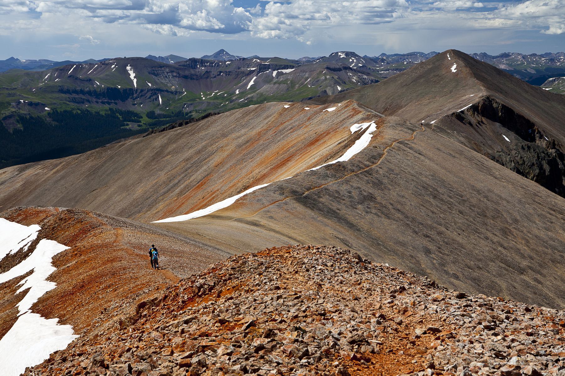
This route climbs Redcloud Peak first, follows the connecting ridge south to Sunshine Peak, and then comes back over Redcloud. It is the best way to climb both peaks in one day. It is about 12.25 miles round trip from the Silver Creek trailhead with about 4,800 feet of gain.
The route is Class 2 on trail the whole way. The two peaks are about 1.5 miles apart. You must regain some height to get back over Redcloud, but this is still the easiest and safest way to do both. Some people try a loop down Sunshine's northwest side instead, but that is steeper and looser. This route suits fit hikers ready for a long day at altitude.
Plan on 8 to 11 hours car to car.
Plan of the day
Start by
By 5 a.m. You are on open ridge for many hours.
Turnaround
If you are not on Redcloud's summit by about 10 a.m., or storms are building, skip Sunshine and head down.
Crux
Stamina. The climb back from the Redcloud-Sunshine saddle to Redcloud's summit comes late in the day.
Route-finding
Easy on trail. Do not take a shortcut west off the saddle between the peaks.
Water
Silver Creek along the lower trail. None on the ridges. Carry about 3 liters and treat any water you collect.
Head south out of Lake City on Colorado 149 for about 2 miles. Go right on County Road 30, heading for Cinnamon Pass. The trailhead is almost 16 miles from the start of this road.
Keep right at about the 11.8-mile mark. After about 12.5 miles the road gets rougher. Between about 13 and 14.5 miles it becomes a shelf road cut into Sunshine Peak's south flank. The trailhead is just before the 16-mile mark.
TundraRidgeExposed to lightning
The line is elevation, the band underneath is the ground, and the numbered dots match the steps below. Mileage and elevations are approximate.
1
Silver Creek trailhead 10,400' · 0 mi
Start up Redcloud Peak's standard northeast ridge route.
2
Silver Creek valley 11,500' · 1.8 mi
Follow the trail up the valley along the creek.
Watch for: Fill and treat water here.
3
Upper basin 12,500' · 3 mi
Keep climbing into the upper basin toward Redcloud's northeast ridge.
Watch for: You are above treeline from here. Watch the weather.
4
Northeast ridge 13,000' · 3.7 mi
Climb to the ridge and follow the trail toward Redcloud's summit.
5
Redcloud Peak summit 14,037' · 4.6 mi
Sunshine lies about 1.5 miles south. A trail links the two peaks. Decide here whether you have time and good weather to continue.
Watch for: Remember you must come back over this summit.
6
Point 13,841 13,841' · 5.1 mi
Head south off Redcloud on the trail, which keeps to the right of the ridge. Pass a 13,841-foot point.
7
Redcloud-Sunshine saddle 13,500' · 5.5 mi
Descend to the low saddle between the peaks.
Watch for: Do not use this saddle as a shortcut down to the west. That slope is steep and loose.
8
Flat spot on Sunshine's north ridge 13,700' · 5.9 mi
Climb about 500 feet up Sunshine's north ridge. Get past some rough points; a flat spot lies near 13,700 feet.
9
Sunshine Peak summit 14,001' · 6.1 mi
Follow the trail to the top.
Getting down
Go back north along the ridge to the saddle, then climb about 500 feet back to Redcloud's summit. From there, follow the standard trail down Redcloud's northeast ridge and the Silver Creek valley to the trailhead. Do not try to save time by heading west down from the Redcloud-Sunshine saddle. The slope is steep, loose and dangerous.
If things go wrong
Before Sunshine, the way out is back over Redcloud and down the trail you came up. Once on Sunshine, the return over Redcloud is still the safest way down, even though it means climbing again. If a storm builds while you are between the peaks, move quickly and do not linger on the high points. Call 911 if you have signal in an emergency.
Other routes
Every way up Redcloud Peak we list, with its class.
This describes the route in its usual season. Distances and elevations are close estimates for planning. Snow, ice, rockfall, a washed-out road or an afternoon storm can make it a very different climb. Check recent conditions the week you go and turn around when the day tells you to.