Afternoon storm risk is the line that matters. Everything else is comfort. In summer, plan to be off the ridge before the build-up starts, not as it starts. Forecast for the summit point, adjusted for its elevation · data from Open-Meteo.
Combo route · Via Mount Shavano
Overview
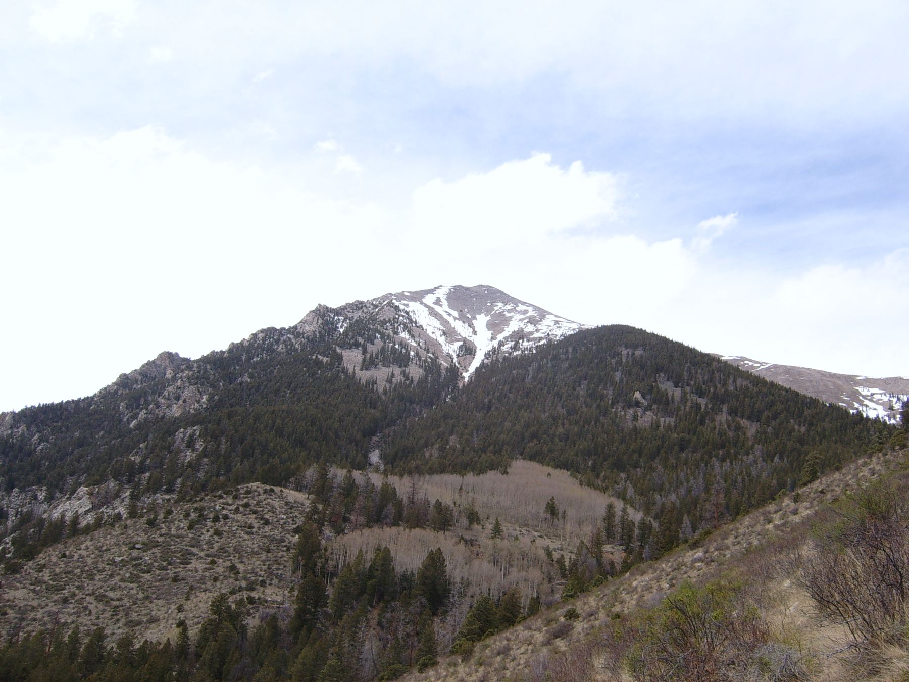
This route climbs Tabeguache Peak by way of Mount Shavano, so you reach two peaks over 14,000 feet in one day. You follow Shavano's East Slopes route to its summit, then cross a saddle to Tabeguache and come back the same way. It is Class 2 the whole way.
It suits fit hikers who are ready for a long day at altitude. The only practical way back is over Shavano again, so you must regain about 500 feet on the return. Be sure the weather will hold before you leave Shavano.
It is about 12 miles round trip with roughly 5,600 feet of gain. Most people take 9 to 12 hours.
Plan of the day
Start by
By 5 a.m. The route is long and you will be above treeline for many hours.
Turnaround
If you are not on Shavano's summit by about 10 a.m., or clouds are building, skip Tabeguache and head down.
Crux
Length and the climb back up Shavano on the way out. The ground between the peaks is Class 2 talus.
Route-finding
Easy to moderate. Follow the Shavano trail to the top. Tabeguache is in plain view to the northwest. On its east ridge, follow trail pieces and, if you lose them, just climb straight up the ridge.
Water
Streams on the lower Shavano trail in early summer. Filter it. None higher up. Carry 3 to 4 liters.
Take U.S. 285 to County Road 140, about a mile north of where it meets U.S. 50 near Poncha Springs, and turn west there. You will find this turn across from the Salida airport, roughly 21 miles to the south of Buena Vista. Reset your odometer. Drive 1.7 miles and turn right on County Road 250.
The road turns to dirt at 2.6 miles and gets rough and rocky on BLM land. Keep left onto Forest Road 252 at 5.9 miles. The signed Blank Cabin trailhead is just past 9 miles. If it is full, there is more parking about 0.1 mile farther.
Blank Cabin (Shavano / Tabeguache). Road conditions near the trailhead change after storms. Check your clearance and have a backup plan for a lower lot.
Trail in the treesScramblingTundraTalus and screeRidgeExposed to lightning
The line is elevation, the band underneath is the ground, and the numbered dots match the steps below. Mileage and elevations are approximate.
1
Blank Cabin trailhead 9,750' · 0 mi
Start up the Mount Shavano East Slopes trail into the forest.
2
Lower forest 10,500' · 1 mi
The trail climbs steadily through the trees. Follow it toward Shavano.
3
Upper forest 11,300' · 2 mi
Keep climbing as the forest thins.
4
Treeline 11,900' · 3 mi
Leave the trees. The rest of the route to Shavano is open and exposed.
Watch for: Watch the sky from here on.
5
Upper slopes 13,000' · 4 mi
Continue up the open trail toward Shavano's summit.
6
Summit of Mount Shavano 14,230' · 5 mi
So far you have covered about 5 miles and gained about 4,500 feet. To the northwest you can clearly see Tabeguache. Check the weather and your time before going on.
Watch for: The only good way back from Tabeguache is over Shavano again.
7
Shavano's summit ridge 13,900' · 5.3 mi
Head northwest down Shavano's long, rocky summit ridge. It is Class 2 talus.
8
Shavano-Tabeguache saddle 13,700' · 5.6 mi
After about 0.6 mile and 600 feet of loss, reach the broad saddle near 13,700 feet. Cross it.
9
Tabeguache east ridge 13,950' · 5.8 mi
Climb Tabeguache's east ridge on pieces of trail over stable talus. If you lose the trail, just go straight up the ridge.
10
Summit of Tabeguache Peak 14,155' · 6 mi
Gain about 500 feet from the saddle to reach the top.
Getting down
Go back the way you came. Descend to the saddle, climb about 500 feet back up to Shavano's summit ridge, and then follow the East Slopes trail all the way down to the trailhead. Do not try to descend directly off Tabeguache or the saddle into the valleys. They are not good routes back.
If things go wrong
Before you leave Shavano's summit, bailing is simple: go down the East Slopes trail. Between the peaks, the fastest way to safety is still back over Shavano, so decide before you commit to Tabeguache. If lightning threatens on the ridge, move off the high points right away and head for Shavano's trail. In an emergency, call 911 if you have signal.
Other routes
Every way up Mount Shavano we list, with its class.
This describes the route in its usual season. Distances and elevations are close estimates for planning. Snow, ice, rockfall, a washed-out road or an afternoon storm can make it a very different climb. Check recent conditions the week you go and turn around when the day tells you to.