Afternoon storm risk is the line that matters. Everything else is comfort. In summer, plan to be off the ridge before the build-up starts, not as it starts. Forecast for the summit point, adjusted for its elevation · data from Open-Meteo.
Alternate route · East Ridge
Overview
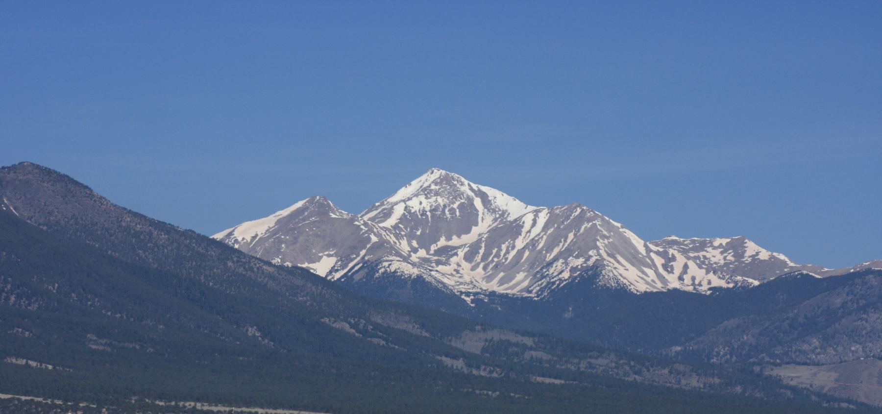
This route climbs Mount Yale by its east ridge, starting at the Avalanche Gulch trailhead west of Buena Vista. It follows the Colorado Trail to a ridge near treeline, then leaves the trail and follows Yale's long east ridge to the summit. It is Class 2, with rough and loose ground around several points on the ridge.
It suits strong hikers who want a longer, quieter route than the standard southwest slopes. The round trip is about 10.5 miles with roughly 5,000 feet of gain, which is a big day. The ridge has many ups and downs and some loose rock. There is no trail on the ridge, so you pick your way around each rough spot.
Most people take 8 to 11 hours car to car. You are above treeline for a long time on the ridge, so an early start is key.
Plan of the day
Start by
By 5 a.m. It takes a few hours to reach the ridge, and the ridge itself is long.
Turnaround
If you are not at the flat spot near 13,350 feet by 10:30 a.m., or clouds are building, turn around.
Crux
The rugged point near 12,900 feet, where you climb loose rock and dirt on its left side to get back on the ridge. It is the loosest ground on the route.
Route-finding
Moderate. Leave the Colorado Trail near 11,900 feet, before it crosses to the north side of the ridge. On the ridge, pass several points on the south (left) side. You do not need to climb over them.
Water
There is no dependable water on the route. Carry all you need, about 3 liters.
In the center of Buena Vista, leave U.S. 24 and head west on County Road 306, the road to Cottonwood Pass. The Avalanche Gulch trailhead is on your right after roughly 9 miles.
The lot fills on summer weekends, since the Colorado Trail starts here. Arrive early.
Trail in the treesRidgeOff-trail, no set pathTundraExposed to lightning
The line is elevation, the band underneath is the ground, and the numbered dots match the steps below. Mileage and elevations are approximate.
1
Avalanche Gulch trailhead 9,370' · 0 mi
The Colorado Trail leaves from the lot's north side; begin there. It is a good, well-built trail.
2
Hillside climb 10,100' · 1 mi
Walk through the trees and climb a hillside. Re-enter the trees near 10,100 feet.
3
Open area on the ridge 11,900' · 3.25 mi
Hike north on it for roughly 3.25 miles until you reach an open spot on the crest at about 11,900 feet.
Watch for: Leave the trail here, before it crosses to the north side of the ridge.
4
Leave the trail 11,900' · 3.35 mi
Turn left and head west into the trees. After about 100 yards, find a small path leaving the trees.
5
First view of the east ridge 12,050' · 3.5 mi
Angle upward across a hill's north side. Yale's east ridge comes into view.
Watch for: You are above treeline from here. Watch the sky.
6
12,000-foot low point 12,000' · 3.7 mi
Go down west along the ridge to a low point near 12,000 feet.
7
Steeper ground 12,600' · 4.1 mi
Continue around a few bumps to steeper terrain near 12,600 feet.
8
Rugged 12,900-foot point 12,900' · 4.3 mi
Near 12,800 feet the ridge steepens and you reach a rough point. Go around its left side. Carefully climb loose rock and dirt back up to the crest.
Watch for: The loosest ground on the route. Watch for rockfall.
9
White rock clump 13,100' · 4.45 mi
Easier terrain then leads to a group of white rocks, a little left of some taller, rugged points.
10
Two 13,400-foot points 13,350' · 4.6 mi
Move over to the ridge's south side. Pass left of the first of two points above 13,400 feet. Then pass below the taller one and get back on the crest.
Watch for: There is no need to go over the top of either point.
11
Flat spot 13,350' · 4.75 mi
Drop slightly to a flat area near 13,350 feet.
Watch for: A good place to check your time and the weather.
12
Rock outcrops 13,400' · 4.8 mi
Cross the flat ground to more rock outcrops near 13,400 feet. Pass the first point on either side.
13
Steep section 13,700' · 5 mi
Climb a longer, steep stretch. Near 13,700 feet, follow the easiest ground along the ridge up to about 13,900 feet.
14
Summit of Mount Yale 14,200' · 5.25 mi
A few more short rocky steps bring the summit into sight. Stroll across to it.
Watch for: Do not take the standard trail down unless you have a car at that trailhead.
Getting down
Go back the way you came. Reverse the ridge, passing the rough points on their south side. Take care going down the loose rock at the 12,900-foot point. Climb back up from the 12,000-foot low point to the small path, walk east through the trees to the Colorado Trail, and turn right to follow it back to the trailhead. The climb back up from the low point is short but feels hard late in the day.
If things go wrong
The fastest way off is back east along the ridge to the Colorado Trail near 11,900 feet. Below that the trail goes into the trees. Do not try to drop off the sides of the ridge, which can lead to steep, loose ground. In an emergency, call 911 if you have signal.
This describes the route in its usual season. Distances and elevations are close estimates for planning. Snow, ice, rockfall, a washed-out road or an afternoon storm can make it a very different climb. Check recent conditions the week you go and turn around when the day tells you to.