Afternoon storm risk is the line that matters. Everything else is comfort. In summer, plan to be off the ridge before the build-up starts, not as it starts. Forecast for the summit point, adjusted for its elevation · data from Open-Meteo.
Alternate route · North Slopes
Overview
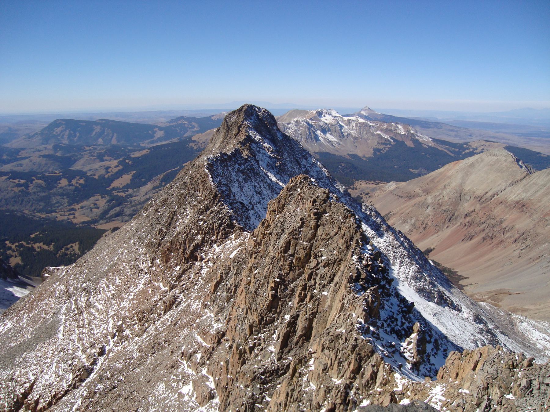
The North Slopes route climbs El Diente from Navajo Basin. It follows a long couloir on the peak's north face to the ridge, then scrambles across and along the ridge to the summit. It is about 15 miles round trip from the Navajo Lake trailhead with about 5,000 feet of gain.
This was once the usual way up El Diente. Today the standard is the Kilpacker Basin South Slopes route, because its rock is more stable in summer. The north couloir is best as a snow climb in late spring and early summer, when snow holds the loose rock in place. Once the snow melts out, rockfall in the couloir is a serious danger. The ridge above is Class 3 with loose rock and some exposure. This route is for experienced climbers who can use an ice axe and crampons and are comfortable scrambling.
Plan on 11 to 14 hours car to car, or split it by camping in the basin.
Plan of the day
Start by
Very early, by 3 or 4 a.m. from the car, or before dawn from a camp in the basin. You want to be in the couloir while the snow is still firm.
Turnaround
If you have not reached the ridge by about 10 a.m., or the snow is getting soft, turn around. Soft snow and falling rock get worse as the day warms.
Crux
The steep upper couloir above 13,200 feet and the ramp near 13,650 feet, then the loose Class 3 traverse below the Organ Pipes, on the ridge's south side.
Route-finding
Hard. Find the right couloir from the basin, the ramp to the right below the headwall, and the gully and notches that take you back and forth across the ridge.
Water
Streams along the Navajo Basin approach and around Navajo Lake. None in the couloir or on the ridge. Treat all water.
Take Colorado 145 south out of Telluride and over Lizard Head Pass. About 5.2 miles past the pass, turn right onto Forest Road 535. This is a dirt road that 2WD cars can drive.
After about 4.1 miles you reach a big meadow and a junction. Keep straight on 535. You pass the Kilpacker trailhead around 5 miles. About 2 miles farther, roughly 7 miles from the highway, the Navajo Lake trailhead is on the right.
Trail in the treesTundraSnow or couloirScramblingExposed to lightning
The line is elevation, the band underneath is the ground, and the numbered dots match the steps below. Mileage and elevations are approximate.
1
Navajo Lake trailhead 9,340' · 0 mi
Take the Navajo Basin approach trail up the valley. The first miles are a long, steady hike on trail.
2
Navajo Lake 11,150' · 4.8 mi
Pass the lake and keep going east into Navajo Basin. Many people camp in this area to split the climb.
Watch for: Fill and treat water here.
3
View of the north slopes 12,000' · 6 mi
Near 12,000 feet the route comes into view on your right. Leave the trail and cross the basin south to the base of the couloir.
Watch for: Make sure you have picked out the correct couloir.
4
Apron below the couloir 12,500' · 6.3 mi
Climb the rock and snow apron at the base on Difficult Class 2 ground to open ground under the couloir. Above 12,500 feet the slope steepens and the couloir becomes obvious.
Watch for: Put on your helmet here. This is the rockfall zone.
5
Inside the couloir 13,000' · 6.6 mi
Enter the defined couloir. Put on crampons if you have not already and keep your ice axe in hand.
6
Steep upper couloir 13,200' · 6.8 mi
Above 13,200 feet the couloir gets steep and stays that way. Keep climbing toward the headwall at the top.
Watch for: A fall here would be long. Self-arrest skills matter.
7
Ramp below the headwall 13,650' · 7 mi
Just under the headwall, turn right onto a ramp of rock or snow that leads toward the ridge. Scramble up it and turn left to a small saddle on the crest.
8
South side of the ridge 13,800' · 7.15 mi
Do not follow the crest. Cross loose, gray rock over to the ridge's south side. Tall, smooth rock towers called the Organ Pipes rise above you on the right.
Watch for: The rock here is loose. Test every hold.
9
Below the Organ Pipes 13,900' · 7.25 mi
Scramble across mostly solid rock under the towers. The easiest line passes through a spot where two parallel rock walls almost form a chimney. Beyond it, climb a small gully to a notch on the ridge.
10
North side traverse 14,000' · 7.4 mi
Cross to the north side and turn left. Climb onto some rocks, then work sideways across the ridge's flank. Drop a little and scramble over to easier ground below a small notch.
Watch for: Exposed Class 3 ground. Move carefully.
11
El Diente summit 14,159' · 7.5 mi
The last pitch starts at the notch, so climb up to it. Scramble to the top through a small dirt gully or on the rock just left of it.
Getting down
Reverse the route. Retrace the ridge carefully, crossing at the same notches, and return to the small saddle above the ramp. Downclimb the ramp and the couloir facing in on the steep upper part. The snow will be softer than in the morning, so move steadily and watch for rockfall from above. Once on the apron, head back across Navajo Basin to the trail and out to the trailhead.
If things go wrong
Below the headwall, the way out is back down the couloir the way you came. If snow conditions are poor, or you hear rockfall, get out of the couloir as fast as is safe. Once on the ridge, the summit and the route down are both slow. Turn back early rather than late. In an emergency call 911 if you have signal. A rescue here would take many hours.
Other routes
Every way up El Diente Peak we list, with its class.
This describes the route in its usual season. Distances and elevations are close estimates for planning. Snow, ice, rockfall, a washed-out road or an afternoon storm can make it a very different climb. Check recent conditions the week you go and turn around when the day tells you to.