Afternoon storm risk is the line that matters. Everything else is comfort. In summer, plan to be off the ridge before the build-up starts, not as it starts. Forecast for the summit point, adjusted for its elevation · data from Open-Meteo.
Alternate route · East Slopes
Overview
The East Slopes route on Handies Peak climbs Grizzly Gulch from the Silver Creek and Grizzly Gulch trailhead. It is a Class 2 hike on a good trail the whole way. It goes up a forested valley, through open meadows, and then loops north to reach Handies' north ridge before the final walk south to the top.
It suits most fit hikers and makes a good first 14er in the San Juans. It is slightly longer than the American Basin route on the other side of the peak, but that route needs a rougher drive. The trail is steady and not technical.
It is about 8 miles round trip with roughly 3,650 feet of gain. Most people take 6 to 8 hours.
Plan of the day
Start by
By 6 a.m. San Juan storms often build by late morning.
Turnaround
If you are not on the ridge crest near 13,600 feet by about 10:30 a.m., or storms are coming, turn back.
Crux
The steeper pitch on the upper north ridge, where the trail zigzags up to about 13,950 feet.
Route-finding
Easy. The trail is signed and clear. The one spot to pay attention to is above the last creek crossing, where the trail heads north before turning back toward the ridge.
Water
Several stream crossings in Grizzly Gulch, the last near 12,300 feet. Filter it. Nothing above.
Leave Lake City heading south on Colorado 149 for about 2 miles. Turn right onto County Road 30, the road toward Cinnamon Pass. It is almost 16 miles from there to the trailhead. Near 11.8 miles, keep right.
The road gets rougher after about 12.5 miles. Between about 13 and 14.5 miles it becomes a narrow shelf road on Sunshine Peak's southern flank. Drive carefully. The trailhead is just before the 16-mile mark.
Trail in the treesTundraRidgeExposed to lightning
The line is elevation, the band underneath is the ground, and the numbered dots match the steps below. Mileage and elevations are approximate.
1
Silver Creek / Grizzly Gulch trailhead 10,400' · 0 mi
Follow the signed Grizzly Gulch trail. After a few hundred feet, cross a bridge.
2
Meadow and forest edge 10,500' · 0.3 mi
Walk through a meadow and enter the trees near 10,500 feet. The trail is clear and well used.
3
First view of Handies 11,100' · 1.3 mi
After about a mile in the forest, Handies comes into view up the valley.
4
View opens up 11,800' · 2.3 mi
Keep climbing through trees and clearings. Near 11,800 feet the valley opens, with Handies directly in front of you. Walk past the last trees.
Watch for: You are above treeline from here. Watch the sky.
5
Last creek crossing 12,300' · 2.6 mi
Hike up the middle of the gulch, crossing the stream once or twice. Above 12,300 feet you reach a sign at the final crossing.
Watch for: Last water. From here the summit is about 1.5 miles away.
6
Trail turns left 12,600' · 2.9 mi
The trail heads north up a hillside, then turns left near 12,600 feet onto flatter ground west of the ridge.
7
Yellow dirt runout 12,850' · 3.1 mi
Walk over a pile of yellow dirt. Then turn left and climb southwest up grassy slopes.
8
Route in view 13,300' · 3.4 mi
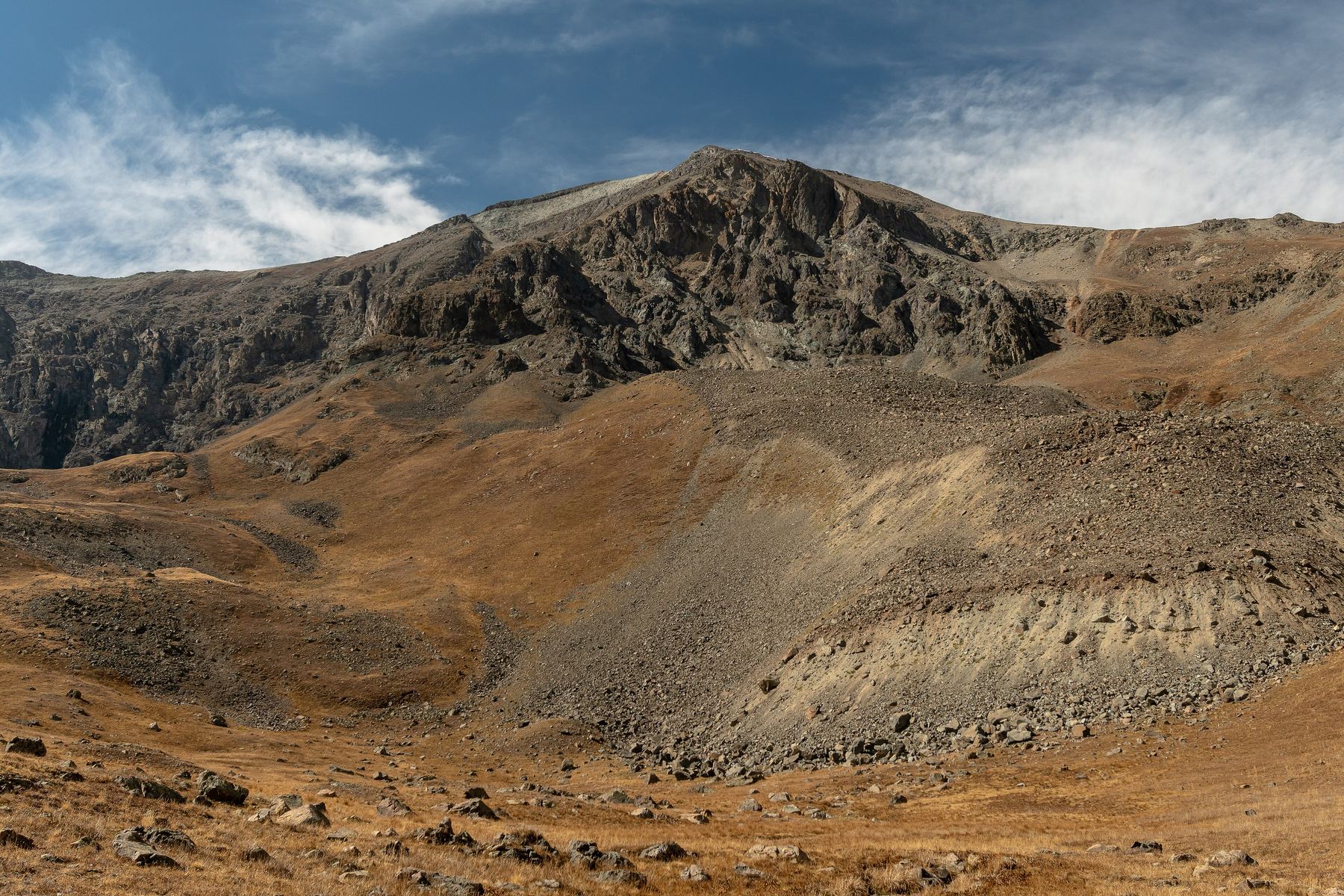
Near 13,300 feet you can see most of what is left of the route. Follow the trail up onto the ridge.
Watch for: If snow covers the trail, follow its general line.
9
North ridge crest 13,600' · 3.7 mi
Reach the ridge and turn south. The trail gets steeper and zigzags up the upper ridge.
10
Summit ridge 13,950' · 3.9 mi
The slope eases and you can see the summit. Walk easily along the ridge.
11
Summit of Handies Peak 14,058' · 4 mi
Walk the last stretch of ridge to the top. The views across the San Juans are huge.
Getting down
Return the way you came. From the ridge, follow the trail back down to the north, then east, then down Grizzly Gulch to the trailhead.
If things go wrong
The trail back down Grizzly Gulch is always the fastest way out. If a storm catches you on the ridge, head down right away toward the gulch and the trees below 11,800 feet. In an emergency, call 911 if you have signal.
Other routes
Every way up Handies Peak we list, with its class.
This describes the route in its usual season. Distances and elevations are close estimates for planning. Snow, ice, rockfall, a washed-out road or an afternoon storm can make it a very different climb. Check recent conditions the week you go and turn around when the day tells you to.