Afternoon storm risk is the line that matters. Everything else is comfort. In summer, plan to be off the ridge before the build-up starts, not as it starts. Forecast for the summit point, adjusted for its elevation · data from Open-Meteo.
This is a technical climb. Falls here can be fatal. It is for experienced climbers who are comfortable on steep, exposed rock and can decide when to turn back.
Combo route · Bells Traverse
Overview
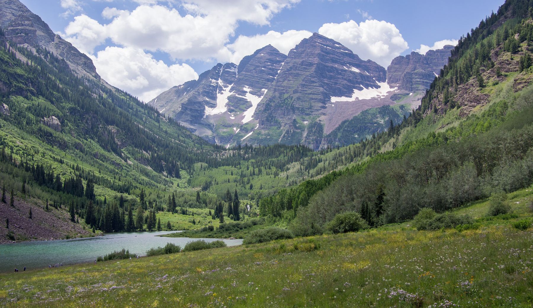
The Bells Traverse links Maroon Peak (South Maroon) and North Maroon Peak near Aspen. You climb Maroon Peak by its South Ridge route, cross the connecting ridge north to North Maroon, and descend North Maroon's Class 4 northeast ridge. The round trip is about 9.5 miles with around 4,850 feet of gain.
This is a Class 5 technical route. After an easier descent from Maroon Peak to where the Bell Cord Couloir tops out, the ridge has three main difficulties: cliff bands of about 40, 40 and 15 to 20 feet that require exposed Class 4 climbing and some low to mid Class 5 moves. Between them the ridge is narrow, loose and very exposed. The Maroon Bells rock is famously rotten.
Only experienced climbers who are solid on exposed Class 4 and low Class 5 rock should try it. Many parties bring a short rope. Plan on 10 to 13 hours car to car.
Plan of the day
Start by
By 4 a.m. or earlier. Remember the road closes to cars during the day in summer, so plan your drive or shuttle around that.
Turnaround
If you are not on Maroon Peak's summit by about 9:30 a.m., do not start the traverse. Retreat is hard once you go beyond the Bell Cord's upper end, so decide there.
Crux
The three cliff bands north of the Bell Cord. The second one has the most sustained exposure, and the third needs low to mid Class 5 climbing.
Route-finding
Moderate to hard. The ridge line is clear, but finding the best way through each cliff band takes care. Most of the easier options are on the west (left) side. The east side is heavily exposed.
Water
Only low on the approach. There is none on the ridge. Carry at least 3 liters.
From the roundabout just west of Aspen, take Maroon Creek Road. You pass a ranch at about 3.2 miles and reach the Forest Service entrance station at about 4.7 miles. The Maroon Lake trailhead is at about 9.5 miles.
In summer, private vehicles may not drive beyond the entrance station between about 8 a.m. and 5 p.m. You need a parking reservation and must drive in outside those hours, or arrange a drop-off or shuttle. Check current rules before you go.
ScramblingRidgeExposed to lightning
The line is elevation, the band underneath is the ground, and the numbered dots match the steps below. Mileage and elevations are approximate.
1
Maroon Lake trailhead 9,580' · 0 mi
Follow the standard South Ridge route for Maroon Peak. It starts on the trail up the valley past Maroon Lake.
2
South Ridge route to the ridge crest 13,300' · 3.9 mi
The South Ridge route climbs a long, steep slope to reach the south ridge, then follows ledges and gullies toward the summit.
Watch for: Loose rock and rockfall are constant hazards.
3
Summit of Maroon Peak 14,163' · 4.6 mi
This is the first summit. You can see the whole ridge to North Maroon, less than half a mile north. Walk the summit ridge north to where it bends at the northeast corner and start down on the east side.
Watch for: Commit only if the weather and time are good.
4
Small cliff bands below the summit 14,100' · 4.65 mi
About 30 feet below the top, cut left (west) and downclimb a series of small Class 3 cliff bands. There are several lines, some with cairns.
5
Loose gully 13,900' · 4.75 mi
Turn left and descend a loose gully. The rock is more solid on its north (right) side.
Watch for: Rockfall from people above.
6
Bell Cord Couloir Saddle 13,780' · 4.85 mi
Turn north and cross a series of small ledges, then downclimb a short Class 3 step. You arrive at the low point between the two peaks, right where the Bell Cord tops out.
Watch for: The real difficulties start here. This is the last good place to reconsider.
7
First cliff band 13,850' · 4.9 mi
Move slightly west (left) to find a crack in a corner. Climb about 20 feet up to a small ledge; from there, about 20 more feet of solid Class 4 leads to the top. Expect a move or two of low Class 5.
Watch for: Exposed. Test every hold.
8
Narrow ridge and first spire 13,880' · 4.95 mi
The ridge flattens and narrows to a few feet wide with big drops on both sides. Scramble along the loose crest and over the first spire.
Watch for: Sustained exposure on loose rock.
9
Second cliff band 13,930' · 5 mi
Below this 40-foot band, traverse a bit east (right). Climb a corner crack 30 to 40 feet up to a ledge. From there, follow the easiest line to the top.
Watch for: Most sustained exposure on the route. Low Class 5 moves likely.
10
Third cliff band 13,960' · 5.05 mi
Scramble a narrow section to a 15 to 20 foot cliff. Go a little west and climb straight up (low- to mid-Class 5 moves). Another option is to go farther west to a narrow crack (low Class 5).
Watch for: Lines on the east side are very exposed. Avoid them.
11
Second spire 13,980' · 5.1 mi
Scramble north about a hundred feet over boulders and small gaps. Go over the 20-foot second spire or around its east base. Downclimb a small cliff band and continue on the ridge.
12
Summit of North Maroon Peak 14,022' · 5.2 mi
Traverse northwest, then climb east up loose rock toward a small, water-stained crack. Climb broken Class 3 ledges to the summit ridge and walk east 20 to 30 feet to the top.
Getting down
Go down by the northeast ridge route of North Maroon. It is Class 4 in places, loose and steep, so stay focused. It leads back down to the valley trail and on to Maroon Lake and the trailhead.
If things go wrong
Before the traverse, retreat by going back down Maroon Peak's South Ridge route. Beyond the Bell Cord's upper end, turning back means reversing hard, exposed climbing, and the Bell Cord itself is not a safe way down without the right snow conditions and gear. If weather threatens before the Bell Cord, do not start the traverse. In an emergency, call 911 if you have signal. Rescue on this ridge is slow and difficult.
This describes the route in its usual season. Distances and elevations are close estimates for planning. Snow, ice, rockfall, a washed-out road or an afternoon storm can make it a very different climb. Check recent conditions the week you go and turn around when the day tells you to.