Afternoon storm risk is the line that matters. Everything else is comfort. In summer, plan to be off the ridge before the build-up starts, not as it starts. Forecast for the summit point, adjusted for its elevation · data from Open-Meteo.
This is a snow climb. It is only safe when the snow is firm and stable, usually early in the morning in late spring and early summer. You need an ice axe, crampons, a helmet and the skills to use them. Check avalanche conditions before you go.
Snow route · South Slope
Overview
The South Slope is a winter and spring route up Mount Sherman from the Fourmile Creek side. It follows the road, then climbs a drainage between Sherman and White Ridge, a wide gully to the Sherman-White Ridge saddle area, and easy slopes to the summit. It is Class 2 with easy snow.
It suits hikers learning snow travel who have an ice axe and know how to use it. The slopes are gentle to moderate. It is meant for times when snow cover is good, and it avoids the lower drainage where snow can be less stable. Compared with the summer route, there is no trail, and it takes more care in choosing a safe line.
From the usual winter closure the round trip is about 8.5 miles with about 3,100 feet of gain. Plan on 6 to 9 hours. It is shorter if the road is open higher.
Plan of the day
Start by
By 6 a.m. in spring so the snow is firm and you are down before it turns soft.
Turnaround
Turn back if the snow is soft and you are sinking, if avalanche danger is elevated, or if wind and weather worsen on the upper slope.
Crux
The wide, shallow gully from about 12,800 to 13,600 feet below the Sherman-White Ridge saddle. It is steeper and may or may not have full snow cover.
Route-finding
Moderate in winter. Leave the road at a corner near 12,000 feet and head north to meet the drainage near 12,400 feet. Then follow the drainage and gully north.
Water
None reliable in winter or spring. Carry 2 to 3 liters and keep it from freezing.
Go south from Fairplay on U.S. 285 for a little over a mile, then make a right onto County Road 18. In winter and spring the road is usually closed near 10,900 feet, about a mile below the Leavick site. Park there.
When the road is open, drive about 10 miles to the Leavick site at 11,250 feet, then about 2 miles more to a gate and small lot. The last part is rougher but most SUVs can make it. If the upper lot is full, use pull-offs lower on the road.
Trail in the treesTundraRoadRidgeExposed to lightning
The line is elevation, the band underneath is the ground, and the numbered dots match the steps below. Mileage and elevations are approximate.
1
Winter road closure 10,900' · 0 mi
Walk up the road. Snow may cover it in places.
2
Leavick site 11,250' · 1 mi
Pass the Leavick site and keep following the road.
3
View of the route 11,700' · 2 mi
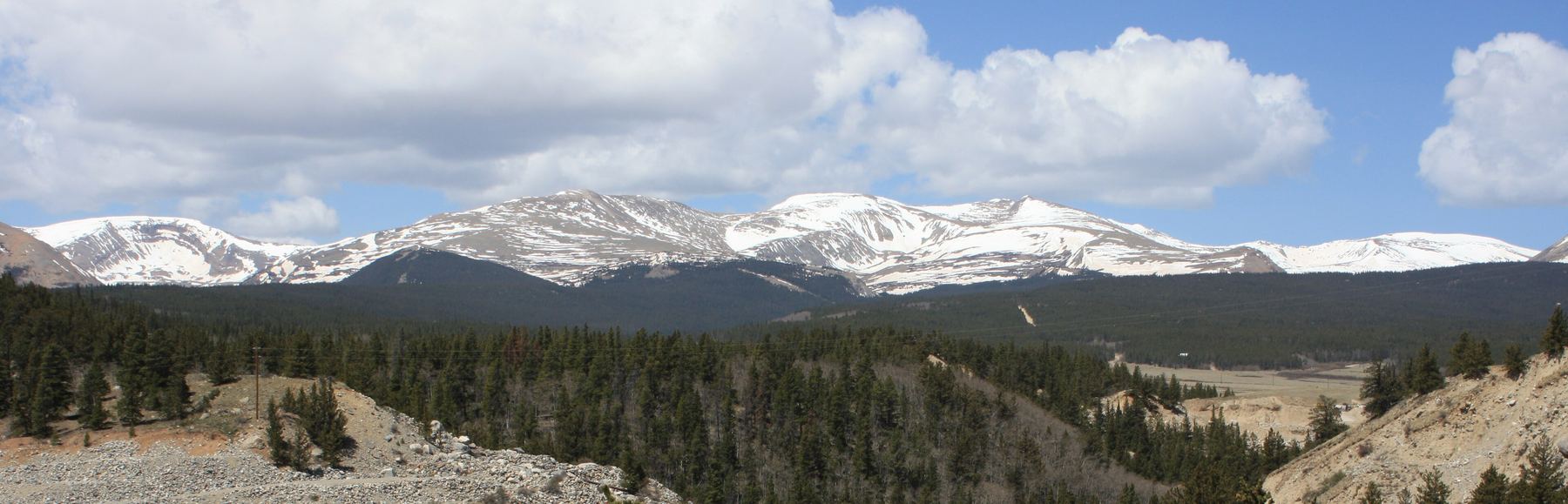
At about 11,700 feet you get a good view of Sherman. Look for a narrow drainage coming in on the road's right side. Much of the climb follows this drainage.
4
Road corner 12,000' · 2.3 mi
Continue roughly 100 yards beyond it to a corner where the road curves left. Leave the road here to skip the rough lower drainage.
Watch for: Bypassing the lower drainage avoids rougher ground and snow that may be unstable.
5
Small basin 12,200' · 2.5 mi
Go north, up a little slope and through a small basin. You can pick from several lines here. Head north to meet the drainage.
6
Join the drainage 12,400' · 2.7 mi
After a couple of small slopes the drainage appears. Follow it north, either in the bottom or on its left side.
7
Sherman in view 12,500' · 2.9 mi
You can see Sherman again, and the way ahead is obvious. The route bends a little northwest toward the south slope.
8
Wide gully 12,800' · 3.2 mi
The terrain gets steeper. Climb north up a wide, shallow gully toward the northwest end of the Sherman-White Ridge saddle.
Watch for: Check snow stability before climbing the gully.
9
Top of the gully 13,600' · 3.7 mi
Near the top, angle a little right to pass below steeper ground on your left.
10
Upper slope 13,800' · 3.9 mi
Keep going north, then northwest up the last slope.
11
Summit of Mount Sherman 14,043' · 4.25 mi
Once on the summit ridge, stroll across to the high point.
Watch for: The ridge can be very windy and cold.
Getting down
Return the way you came. Go back down the gully and drainage, then cut back to the road corner near 12,000 feet rather than following the rugged lower drainage. Walk the road back to your car. Snow softens quickly on sunny afternoons, so plan to be down early.
If things go wrong
The quickest way out is back down the gully and drainage to the road. The road is easy to follow back to the car. If the wind or cold is severe on the upper slope, turn around early. For injuries, keep the person warm, since winter conditions make cold a big risk, and call 911 if you have signal.
Other routes
Every way up Mount Sherman we list, with its class.
This describes the route in its usual season. Distances and elevations are close estimates for planning. Snow, ice, rockfall, a washed-out road or an afternoon storm can make it a very different climb. Check recent conditions the week you go and turn around when the day tells you to.