Afternoon storm risk is the line that matters. Everything else is comfort. In summer, plan to be off the ridge before the build-up starts, not as it starts. Forecast for the summit point, adjusted for its elevation · data from Open-Meteo.
Alternate route · Southwest Ridge
Overview
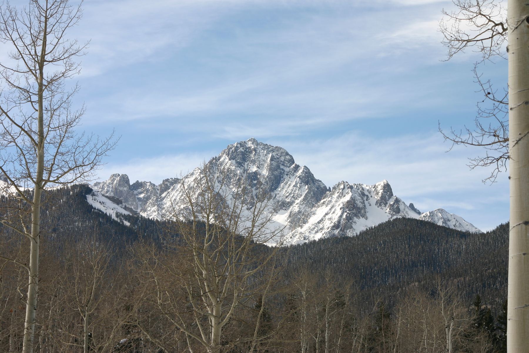
The Southwest Ridge of Mount Sneffels starts in Yankee Boy Basin above Ouray. You follow the road and a trail to Blue Lakes Pass, then climb a rugged Class 3 ridge of gullies, notches and pinnacles to the summit. From the lower parking area, the round trip is about 6.5 miles with around 2,950 feet of gain.
The route has more scrambling than the standard route on Sneffels. The rock is loose and sharp low on the ridge and gets more solid and grippy near the top. There is some exposure on the upper ridge. It suits hikers with Class 3 experience who can find their way through broken terrain.
Plan on 6 to 8 hours from the lower lot. A high-clearance 4WD that can reach the upper trailhead will cut off a few miles.
Plan of the day
Start by
By 6 a.m. from the lower lot. The scrambling is slow and San Juan storms often build before noon.
Turnaround
If you have not reached the ridge crest near 13,700 feet by 10:30 a.m., or clouds are building, turn around.
Crux
The short, steep, narrow pitch just north of the large notch near 13,550 feet.
Route-finding
Moderate. The ridge has several gullies and notches, and it is easy to take a wrong one. Go around the big pinnacle near 13,500 feet on the right. Look for the narrow exit on the right side of the gully near 13,700 feet.
Water
Streams in Yankee Boy Basin. Filter them. None on the ridge, so carry at least 2 liters.
Drive U.S. 550 to Ouray. About a quarter mile past the south edge of town, go west on County Road 361 toward Yankee Boy Basin. Stay right on County Road 26 at about 4.6 miles. Near 5.2 miles the road passes under an overhanging cliff. Stay right at the Imogene Pass junction at about 5.9 miles and at the Governor Basin junction at about 6.7 miles.
Cars without 4WD should park at or near the Governor Basin junction. High-clearance 4WD vehicles can go on to the lower trailhead with an outhouse at about 7.5 miles. Above that, only 4WD vehicles with high clearance and a short wheelbase should continue about another mile to the upper trailhead at 12,460 feet.
RoadTalus and screeTundraRidgeExposed to lightning
The line is elevation, the band underneath is the ground, and the numbered dots match the steps below. Mileage and elevations are approximate.
1
Lower trailhead (outhouse) 11,350' · 0 mi
Hike up the rough road that leads to the higher trailhead.
Watch for: Watch for vehicles on the narrow road.
2
Road switchback near 11,700 feet 11,700' · 0.75 mi
You can take the marked trail on the left here, which climbs past Wrights Lake to Blue Lakes Pass. Or keep following the road to the upper trailhead, as described here.
3
Road junction on a flat 12,300' · 1.5 mi
Stay right at a junction on a flat spot and walk the last quarter mile of road.
4
Upper trailhead 12,460' · 1.75 mi
Hike northwest on a good trail across talus.
5
Trail junction 12,600' · 2 mi
Keep left toward Blue Lakes Pass. Head west across rocks at the head of the basin, then climb the trail up the slope to the pass.
Watch for: The right fork is the standard route. Do not take it.
6
Blue Lakes Pass 12,980' · 2.5 mi
Turn right (north) to face the southwest ridge. Time to put your helmet on. A faint path runs up the left side of the rock spires at the foot of the ridge on loose Class 2 ground.
7
First gully 13,200' · 2.65 mi
Past the first pinnacles, find a gully near the ridge crest. Climb more than 100 feet of sharp, loose rock, then turn left into another short gully.
Watch for: Loose rock. Keep your group close.
8
Loose rock near 13,400 feet 13,400' · 2.75 mi
Leave the gully on the right by climbing steeper rock. Angle slightly right over rough ground toward the ridge.
9
Small notch 13,500' · 2.85 mi
Reach a small notch. A big pinnacle blocks the crest. Go around it on the right, losing under 50 feet as you head toward a gully.
10
Large notch 13,550' · 2.9 mi
Turn left around steep rock and climb to a much bigger notch. Turn right and climb a short, steep, narrow pitch to easier ground.
Watch for: This is the hardest move on the standard line.
11
Kissing Camels gully 13,700' · 3 mi
Step into a short gully on the ridge's left side and climb about 50 feet. Look back left for a rock formation called the Kissing Camels. Exit right through a narrow gap to the ridge crest.
Watch for: Easy to miss the exit.
12
Steeper upper ridge 13,900' · 3.15 mi
Go around a pile of rough rock and get back on the ridge. Follow the crest or just right of it. Near 13,900 feet the ridge steepens, but the rock is solid and grippy.
Watch for: Some exposure on the left side. Stay right if you prefer.
13
Summit of Mount Sneffels 14,155' · 3.25 mi
Keep climbing on good rock to the top. The views over the San Juans are excellent.
Getting down
You can reverse the ridge back to Blue Lakes Pass, taking care in the loose gullies and on the pinnacle bypass. Many people instead descend Sneffels' standard route, which is easier and drops back into Yankee Boy Basin. Know that route before you use it. Then follow the trail and road back to your car.
If things go wrong
Blue Lakes Pass is the main exit. Below the notches, you can reverse the gullies back to the pass. Higher up, the summit and the standard route down may be quicker than reversing the ridge. If a storm arrives, get off the ridge crest as soon as you safely can. In an emergency, call 911 if you have signal.
Other routes
Every way up Mount Sneffels we list, with its class.
This describes the route in its usual season. Distances and elevations are close estimates for planning. Snow, ice, rockfall, a washed-out road or an afternoon storm can make it a very different climb. Check recent conditions the week you go and turn around when the day tells you to.