Afternoon storm risk is the line that matters. Everything else is comfort. In summer, plan to be off the ridge before the build-up starts, not as it starts. Forecast for the summit point, adjusted for its elevation · data from Open-Meteo.
Standard route · South Slopes
Overview
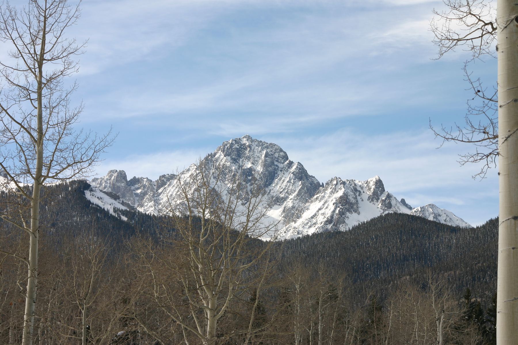
Mount Sneffels rises above Yankee Boy Basin near Ouray and is one of the most striking peaks in the state. From the lower parking area it is 6 miles round trip with about 2,900 feet of gain. Most people take 5 to 7 hours. The first part walks up a rough 4WD road. Then a trail leads to a steep scree slope, a saddle called Lavender Col, a long rocky gully, and a short scramble through a V-shaped notch to the summit.
The route is rated Easy Class 3. Most of it is loose Class 2 terrain that is tiring and slow. The gully above the col has no trail, and loose rock is the biggest danger. Rocks knocked down by people above can hit you, and the gully funnels them. The notch near the top needs a few hand-and-foot moves with some exposure on the left.
This is a good step up for hikers who have done a few Class 2 peaks and want a first taste of scrambling. Wear a helmet. If the slope up to Lavender Col felt very hard, the gully above will be harder, and turning back there is a smart choice.
Plan of the day
Start by
By 5:30 a.m. from the lower lot. You want to be in the gully early, before other parties are above you and before afternoon storms.
Turnaround
If you are not at Lavender Col (13,560 feet) by 10 a.m., turn around. Leave the summit by 11:30 a.m. at the latest, or at the first sign of storms.
Crux
The V-notch about 30 feet below the top of the gully. It takes a few Easy Class 3 moves, with exposure to your left. The loose gully leading to it is the most dangerous part of the route.
Route-finding
The road and the trail to the scree slope are easy. On the scree slope the trail fades. In the gully there is no trail at all. The most common mistake is going to the very top of the gully and missing the notch on the left.
Water
Small streams run through Yankee Boy Basin along the road. There is no water above the upper trailhead. Filter all of it. Carry at least 2 to 3 liters.
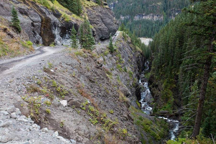
A stunningly scenic dirt road carved into cliffs. Standard SUVs stop at the lower lot; high-clearance 4WDs can crawl up the rocky shelf road to the upper toilet/trailhead.
Terrain
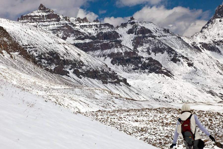
Incredible wildflower meadows surrounded by jagged volcanic pinnacles, finishing in a loose dirt couloir and a solid rock notch.
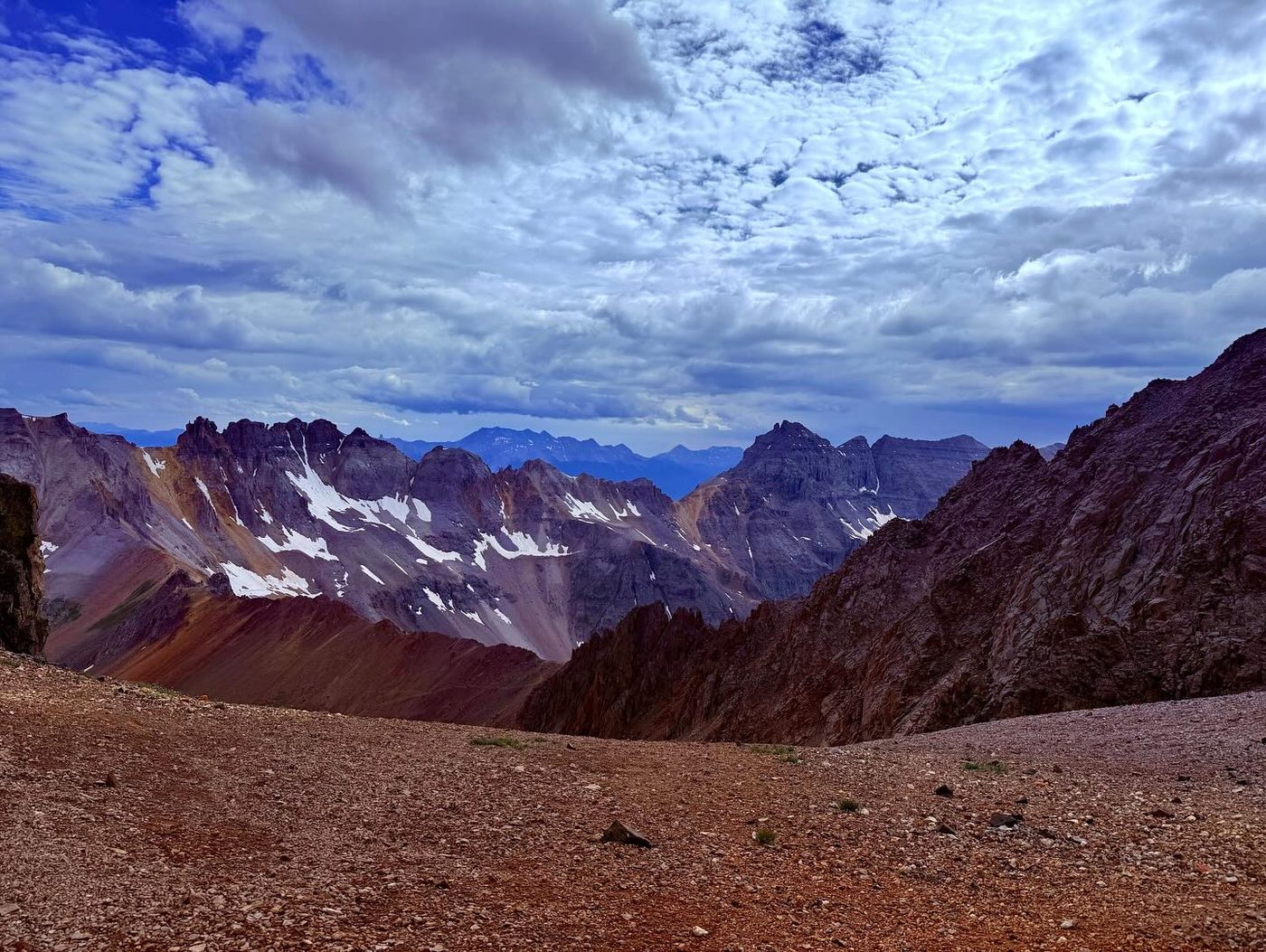
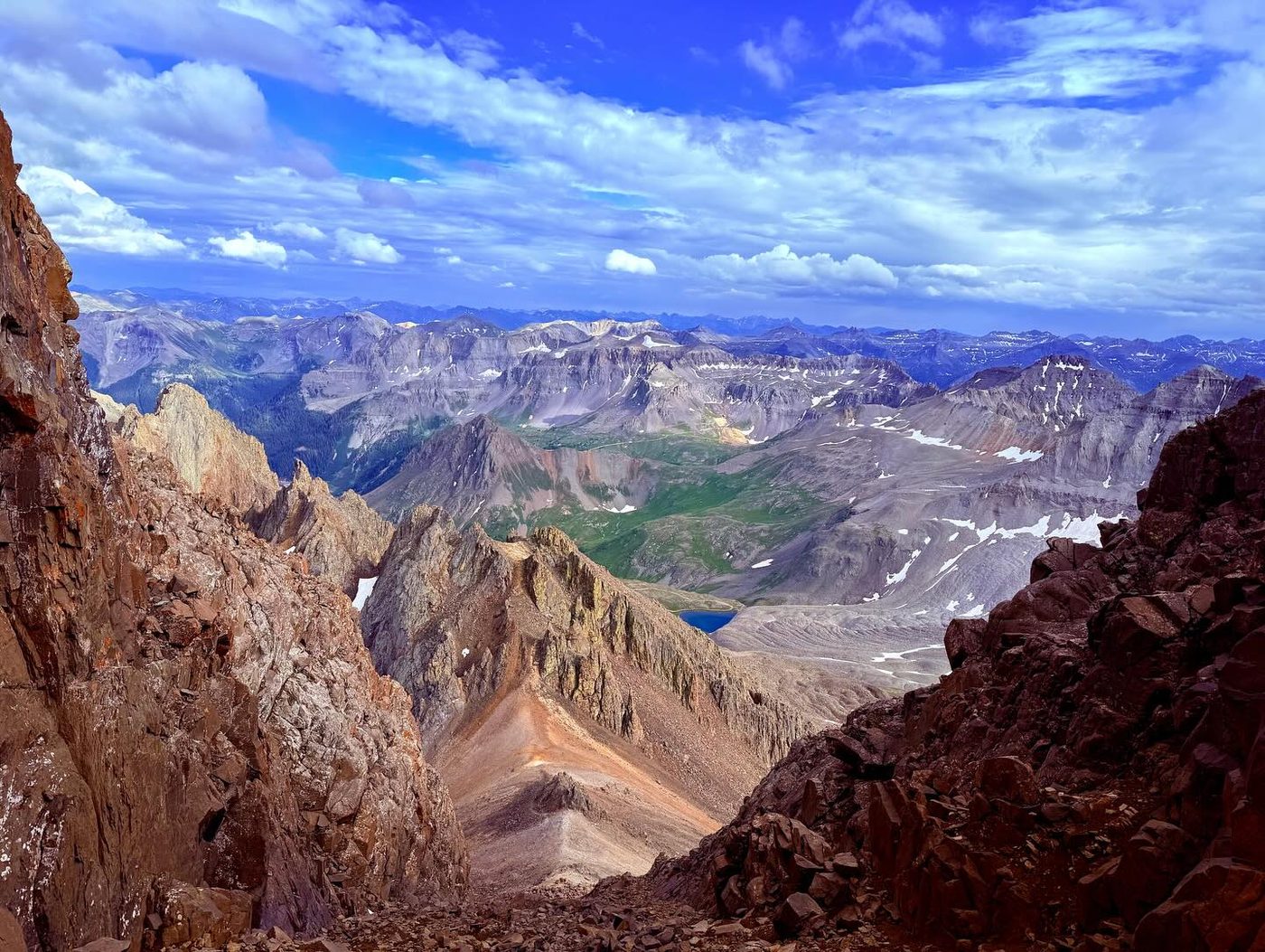
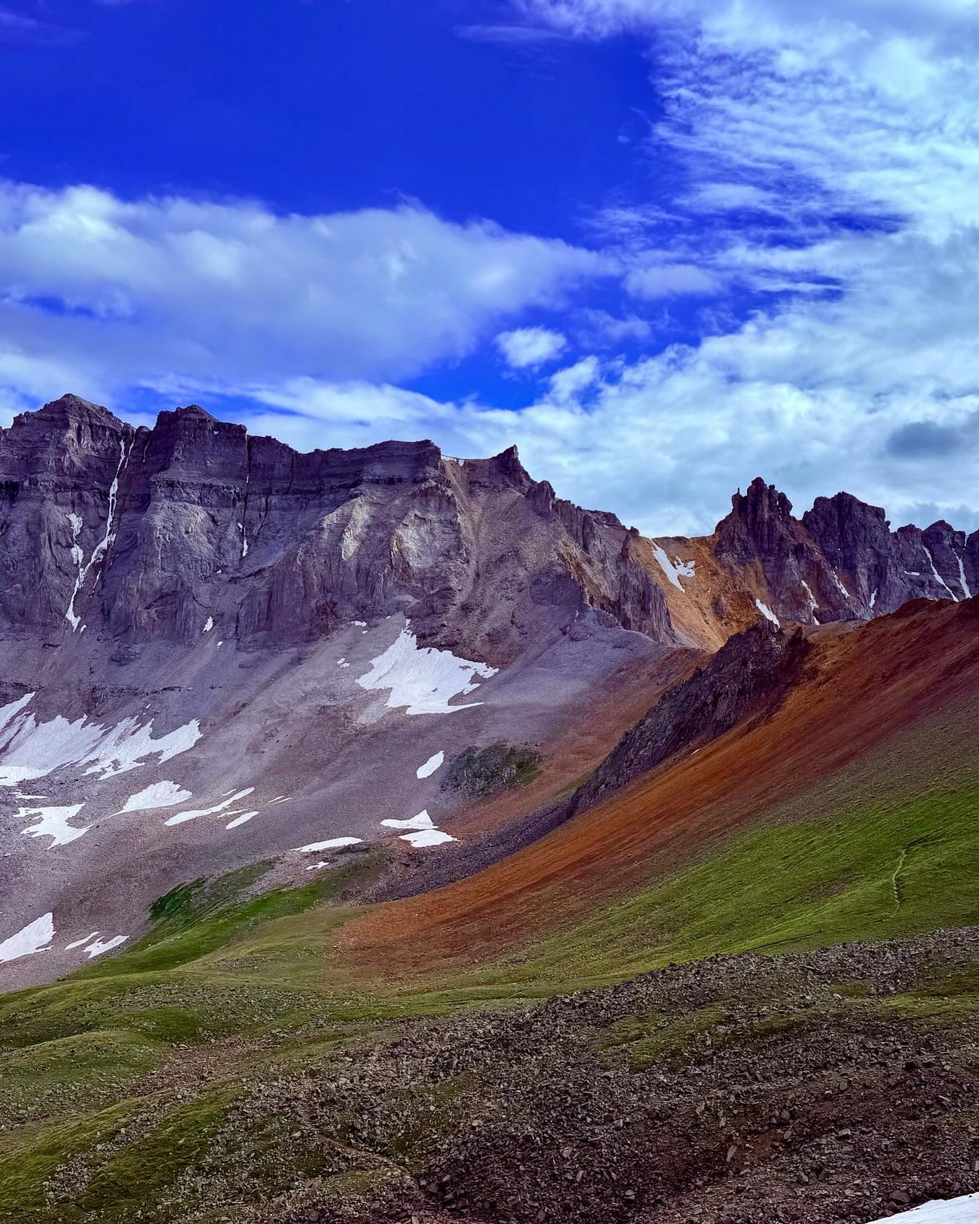
You hike through one of the most beautiful wildflower basins in Colorado, surrounded by sharp, jagged rock towers that look like the Swiss Alps. The primary challenge is the "Lavender Col"—a steep, V-shaped gully filled with loose dirt and small rocks that is exhausting to climb. Once you top out of the loose gully, you pull yourself through a small, solid rock notch (the "V-Notch") to pop directly onto the breathtaking, airy summit.
Take U.S. 550 to Ouray. About a quarter mile south of town, turn west onto County Road 361 toward Yankee Boy Basin. This is a dirt road. Keep right at the 4.6-mile mark. Around 5.2 miles the road runs along a shelf cut into the cliff, with rock hanging overhead. Stay right at the Imogene Pass turnoff near 5.9 miles.
At about 6.7 miles you reach the Governor Basin junction. Two-wheel-drive cars should park here; this adds about 1.75 miles round trip. High-clearance vehicles continue to the lower trailhead with an outhouse at about 7.5 miles and 11,350 feet. The mileage in this description starts there. The last mile of road above the outhouse is very rough and only for high-clearance, short-wheelbase 4WD vehicles.
Trail in the treesRoadTalus and screeTundraExposed to lightning
The line is elevation, the band underneath is the ground, and the numbered dots match the steps below. Mileage and elevations are approximate.
1
Outhouse parking 11,350' · 0 mi
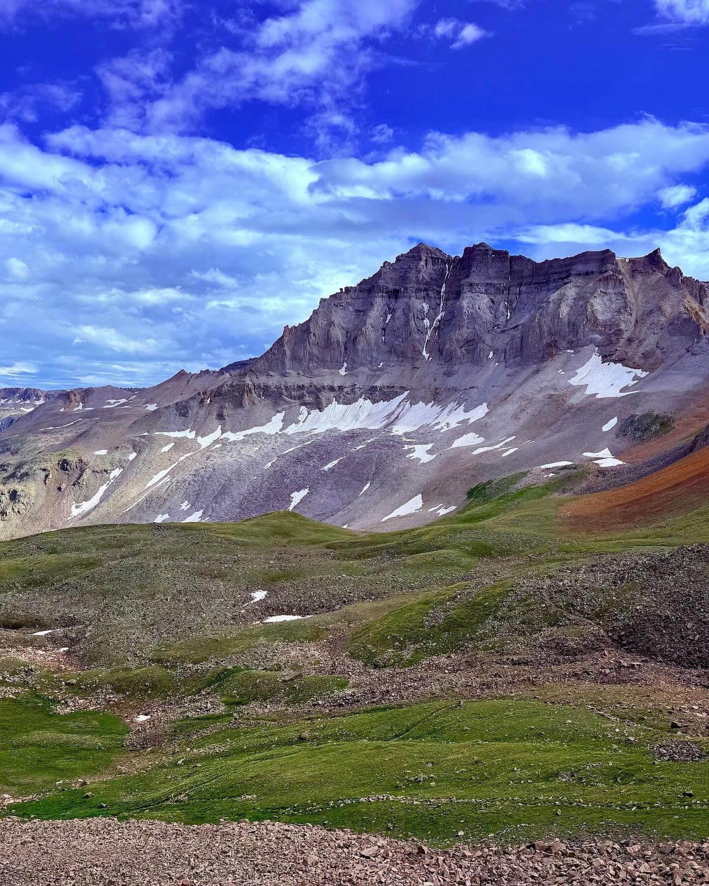
Start at the outhouse parking area and walk west up the road. Yankee Boy Basin opens up in front of you, with Sneffels and its neighbors at the head of the valley.
2
Big rock junction 11,370' · 0.05 mi
After about 100 yards, pass a large rock and keep right at a road junction.
Hanging Rock on the Yankee Boy Basin road · Photo: Greg Willis
3
Road gets rough 11,700' · 0.75 mi
Follow the road for about three-quarters of a mile. Near 11,700 feet the road gets much rougher and steeper. Keep walking up it. Watch for 4WD vehicles.
4
Upper basin road 12,100' · 1.3 mi
The road climbs through the upper basin past small ponds, including Wrights Lake. The steep south face of Sneffels is ahead. Streams cross the road here; fill water if you need it.
Watch for: Last reliable water on the route.
Yankee Boy Basin · Photo: Greg Willis
5
Upper trailhead 12,460' · 1.75 mi
Reach the signed upper trailhead at the end of the road, at about 12,460 feet. Pick up a clear trail heading northwest across talus.
6
Trail junction 12,600' · 2 mi
After about a quarter mile, near 12,600 feet, the trail splits. The left branch goes toward Blue Lakes Pass. Stay right toward Sneffels.
Watch for: Do not go left toward Blue Lakes Pass.
7
Switchbacks 12,800' · 2.2 mi
A short way on, the trail climbs a set of switchbacks. Above them it enters a wide slope of loose scree below the saddle.
8
Scree slope 13,100' · 2.45 mi
The trail fades on this broad, loose slope. Choose a line and climb. The best line usually stays a bit left of the center of the slope. It is steep and your feet will slide back. Keep a steady pace.
Watch for: Loose Class 2. If this feels very hard, the gully above is harder.
9
Lavender Col 13,560' · 2.7 mi
Top out at Lavender Col, a saddle at about 13,560 feet. Turn left. A steep gully climbs to the northwest toward the summit. Take a break here and check the weather and your group.
Watch for: Decision point. If the scree was a struggle or storms are building, turn back here.
10
Lower gully 13,750' · 2.8 mi
Start up the gully. There is no set trail. Pick your way over loose rock and scree. Stay close to your partners so any rock you knock loose does not build speed before it reaches them.
Watch for: Rockfall. Wear a helmet. Call out 'Rock!' if you knock anything loose.
11
Upper gully 13,950' · 2.9 mi
The gully stays steep and loose. Keep climbing toward its top, where it ends at an overlook. You are aiming for a spot just below that.
Watch for: In early season this gully holds snow. Crampons and an ice axe are needed then.
12
V-notch 14,050' · 2.95 mi
About 30 feet below the top of the gully, look left for a small V-shaped notch in the rock. Scramble through it using your hands. The moves are short, but there is a drop on your left side.
Watch for: Exposure on the left. Test holds before you weight them.
13
Summit 14,155' · 3 mi
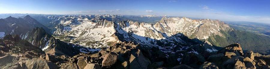
Past the notch, climb easy, solid rock for a short way to the summit. The views reach across the San Juans and down to Blue Lakes to the north.
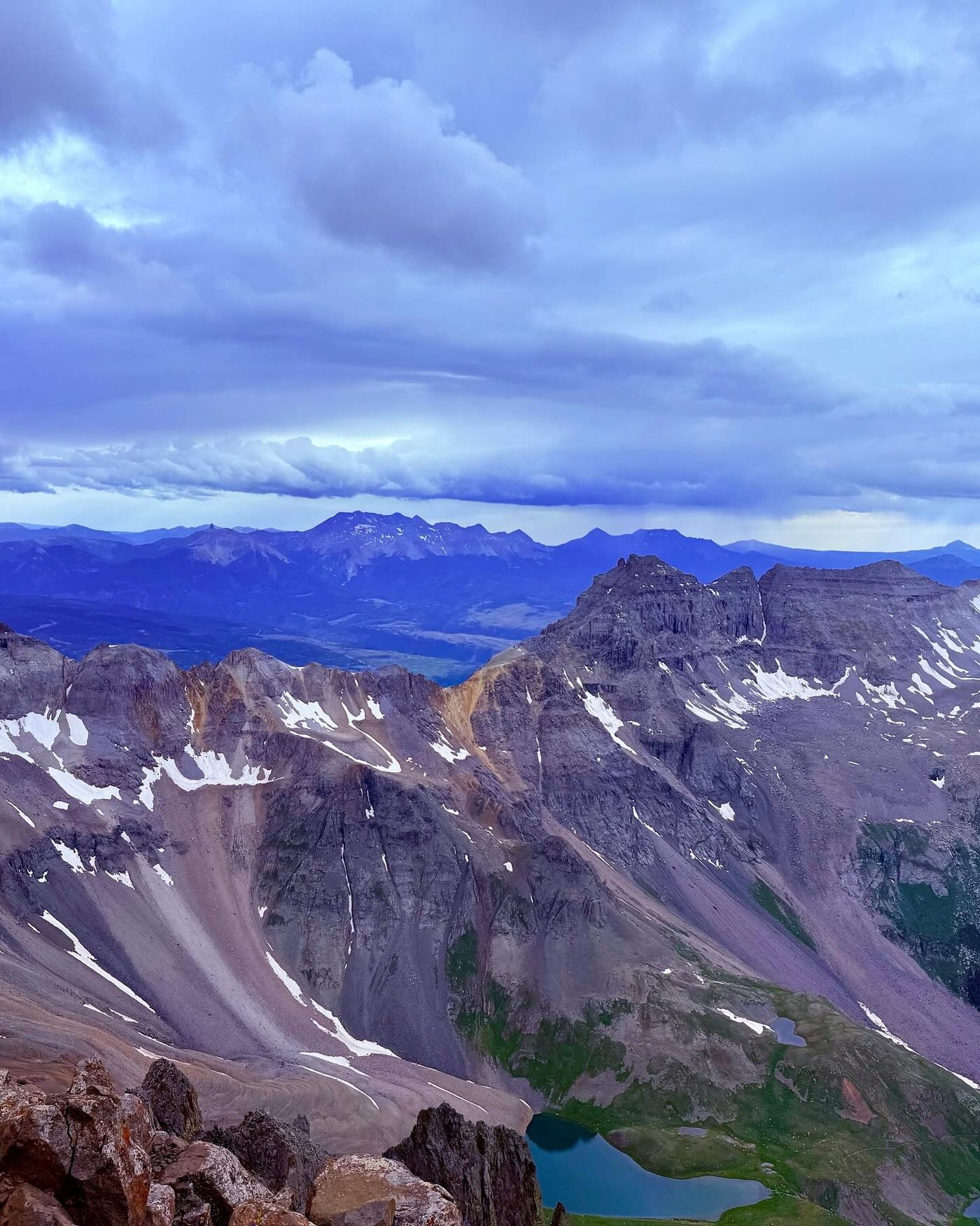
The view from the top of Mount Sneffels · Photo: Malcolm Slaney
Here a road goes off straight ahead. Turn right to follow Yankee Boy Basin Road.
Coming down: Turn left to stay on Yankee Boy Basin Road. Don’t take the road.
2Mile 1.0 · 11,880'
Turn sharp right to stay on Yankee Boy Basin Road
Here Wrights Lake Spur goes off straight ahead. Turn sharp right to follow Yankee Boy Basin Road.
Coming down: Turn sharp left to stay on Yankee Boy Basin Road. Don’t take Wrights Lake Spur.
3Mile 1.6 · 12,340'
Turn right to stay on Yankee Boy Basin Road
Here Wrights Lake Roasd goes off straight ahead. Turn right to follow Yankee Boy Basin Road.
Coming down: Turn left to stay on Yankee Boy Basin Road. Don’t take Wrights Lake Roasd.
Landmarks to know
The large rock and road junction just past the outhouse lot.
The signed upper trailhead at the end of the 4WD road.
The trail junction near 12,600 feet; stay right, not left toward Blue Lakes Pass.
The wide scree slope below the saddle.
Lavender Col, the saddle at 13,560 feet, with the gully rising to the left.
The long, rocky gully climbing northwest toward the summit.
The small V-shaped notch on the left about 30 feet below the top of the gully.
Getting down
Go back through the V-notch carefully. Face in if it helps. Then descend the gully. This is where most accidents happen. Move one at a time in steep spots, stay close together, and do not stand directly below other people. It is easy to drift off to one side in the upper gully; aim for the saddle at the bottom.
At Lavender Col, turn right and head down the scree slope toward the switchbacks. Plunge-stepping the scree is fast but hard on the knees, and it can knock rocks onto people below. Pick up the trail at the bottom, stay left at the junction, and walk back down the road.
If things go wrong
The only safe way off is the route you came up. Lavender Col is the main decision point; below it you can walk off on easy ground. If weather turns while you are in the gully, head down at once but carefully; hurrying in loose rock causes falls. The upper trailhead and the road are the nearest easy ground. If someone is hurt, keep them warm and still, protect them from rockfall, and call 911. Cell coverage in the basin is limited, so be ready to send someone down the road to find a signal or help.
3D flyover
Press play to fly the South Slopes. The graph shows elevation along the way and how much you gain each mile. Open full screen.
For planning only. The line is traced from open map data, not walked in the field, and off-trail parts are drawn straight. Load it in your GPS app to see the route, but navigate with your eyes, a map and the route description.
See the trail on video
A climb of this route filmed by The Virtual sherpa. The video belongs to them and only plays when you press play.
Jump to
Other routes
All 4 routes up Mount Sneffels, with the class and round-trip distance for each.
Class 3 means sustained scrambling with your hands, on terrain where a fall has real consequence. Build up on easier scrambles first, wear a helmet, go with someone who has led this kind of ground, and remember that downclimbing is harder than going up.