Afternoon storm risk is the line that matters. Everything else is comfort. In summer, plan to be off the ridge before the build-up starts, not as it starts. Forecast for the summit point, adjusted for its elevation · data from Open-Meteo.
Standard route · North Slopes
Overview
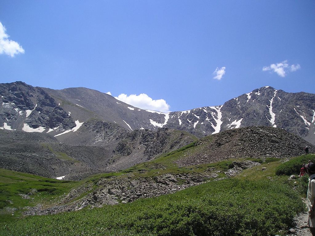
Grays Peak is the highest point on the Continental Divide and one of the easiest fourteeners to climb. A wide, well-built trail runs the whole way from the parking lot to the summit. It starts in Stevens Gulch, follows a broad alpine valley south, and then climbs the north side of the peak in long switchbacks. There is no scrambling and very little loose rock.
This is a good first fourteener for fit hikers. Still, it is 3,000 feet of climbing at high altitude, and the whole route is above tree line. There is no shelter anywhere once you leave the lot. Plan on 5 to 7 hours round trip. Many people add Torreys Peak next door, which adds about an hour and some steeper ground.
The real dangers are weather and altitude. Storms build fast over the Front Range in summer, and the upper switchbacks are a long, exposed walk from the car. Crowds are heavy on summer weekends, and parking is limited.
Plan of the day
Start by
By 5 to 6 a.m. The lot fills before dawn on summer weekends, and you are above tree line for the whole hike.
Turnaround
If you are not at the Torreys trail junction (about 13,300 feet) by 10:30 a.m., or clouds are building fast, turn around. From there the summit is still about 45 minutes of exposed switchbacks.
Crux
There is no technical crux. The hardest part is the steady climb up the switchbacks above 13,400 feet, in thin air and often strong wind.
Route-finding
Very easy. The trail is wide and clear the whole way. The only junction that matters is near 13,300 feet: stay left for Grays. In snow or fog the upper switchbacks can be harder to follow.
Water
The creek runs through Stevens Gulch near the trailhead and along the lower valley. Filter or treat it; there is old mining upstream. There is no water on the upper mountain, so carry what you need from the car.
Bumpy, rutted 4WD dirt road requiring high clearance; the tight dirt lot fills completely before sunrise.
Terrain
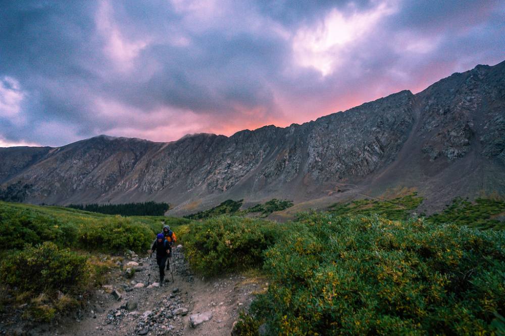
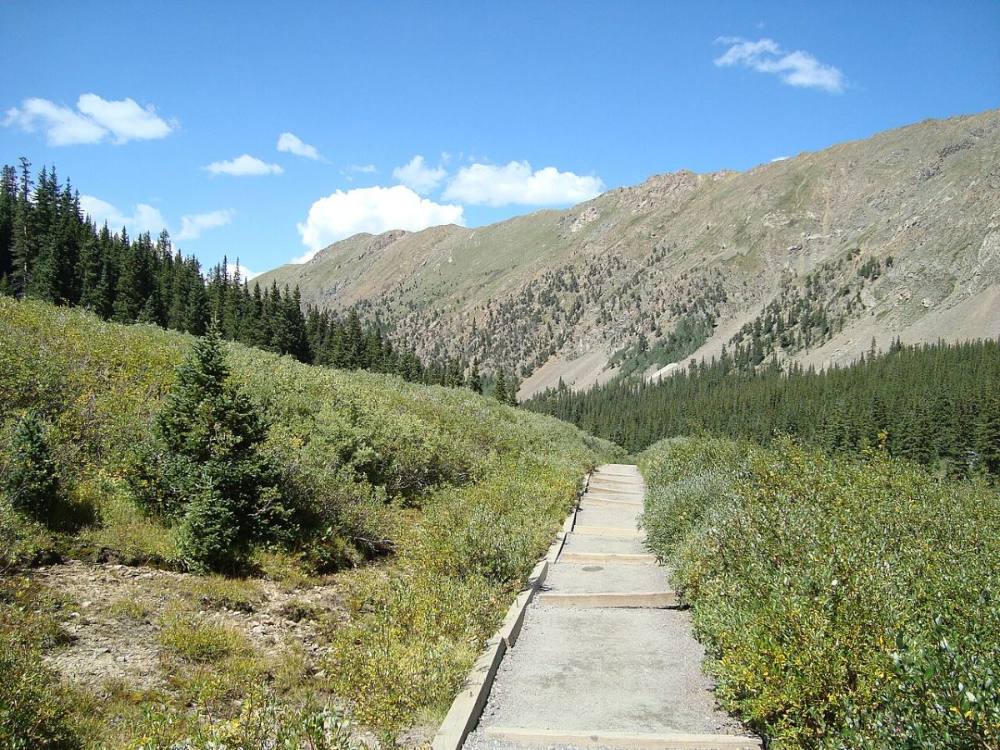
A wide, beautifully manicured dirt highway cutting through a vibrant, emerald-green alpine basin.
You cross a wooden footbridge over a rushing creek and enjoy a smooth, gentle march up the valley floor. As the basin closes in, the dirt path seamlessly transitions into long, sweeping gravel switchbacks up Grays' wide north ridge. To loop over to Torreys, you descend a broad, rocky saddle before grinding up a steeper, looser, chunkier Class 2 dirt-and-rock trail to the second summit.
Leave I-70 at exit 221, the Bakerville exit. Cross to the south side of the highway to a dirt parking area where Forest Road 189 begins. In winter, this is where you park. From here, the dirt road climbs almost 3 miles up Stevens Gulch. Stay straight at a junction after about 1 mile, then continue 2 more miles to the summer trailhead at 11,280 feet.
The upper road is rough and rocky. A vehicle with good clearance is best; low cars should park at the bottom and walk up. Parking along the road is not allowed and is ticketed, so if the upper lot is full you must drive back down and hike the road. There are restrooms at the trailhead and a few spots for dispersed camping nearby.
TundraRidgeTalus and screeExposed to lightning
The line is elevation, the band underneath is the ground, and the numbered dots match the steps below. Mileage and elevations are approximate.
1
Trailhead 11,280' · 0 mi
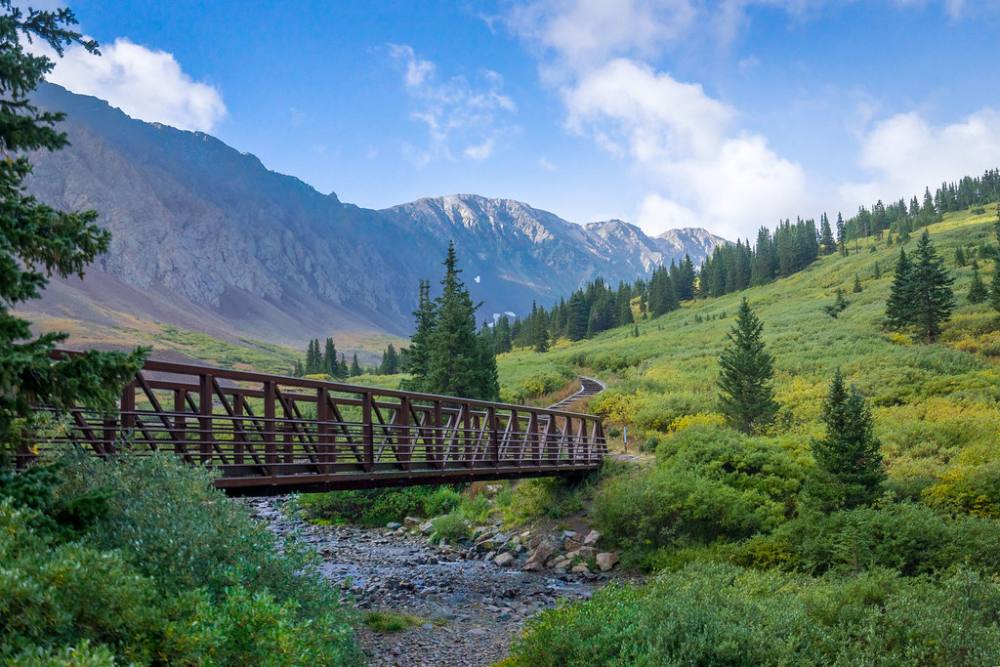
Cross the big footbridge over the stream in Stevens Gulch. The trail beyond is wide and smooth and heads south up the valley. Grays soon comes into view ahead.
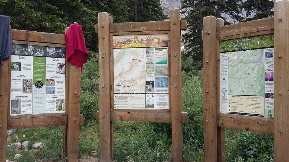
The info boards at the Stevens Gulch trailhead · Photo: XnatedawgxThe footbridge near the start of the trail · Photo: Heath Cajandig
2
Lower valley 11,600' · 0.8 mi
The trail climbs gently through willows and open tundra on the east side of the valley. Kelso Mountain rises on your right. Old mining scars dot the slopes.
3
Information sign 11,900' · 1.5 mi
A trail sign with information about the area stands next to the path. The valley widens here and both peaks are clearly visible.
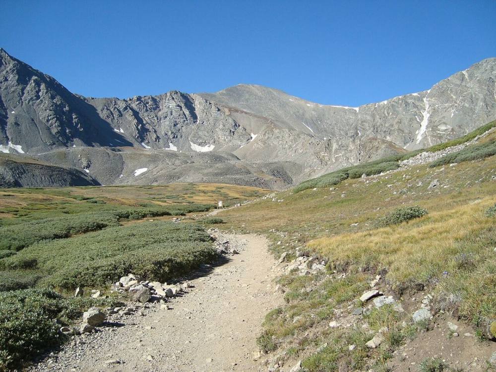
The trail heading up the valley toward Grays · Photo: Pimlico27Early light in Stevens Gulch · Photo: Heath Cajandig
4
Flat rocky area 12,100' · 1.8 mi
Just past the sign the trail reaches a flat, rocky bench. Grays is ahead to the southwest; Torreys is the sharper peak on your right.
5
Around the small ridge 12,400' · 2.2 mi
The trail curves around the end of a small ridge that runs south toward the east side of Grays. The grade is steady and the footing is good.
6
Trail turns left 12,650' · 2.5 mi
Above 12,600 feet the trail bends left and follows the west side of the rocky ridge. It starts to climb more steeply here.
Where the trail starts to climb into the switchbacks · Photo: Pimlico27
7
Above 13,000 feet 13,050' · 2.8 mi
The trail climbs in switchbacks on gravel and small rocks. Rock steps help on the steeper turns.
Watch for: Pace yourself; the air is thin.
8
Torreys junction 13,300' · 3 mi
The trail splits. Go left for Grays. The right branch heads west toward the saddle and Torreys Peak.
Watch for: Stay left for Grays.
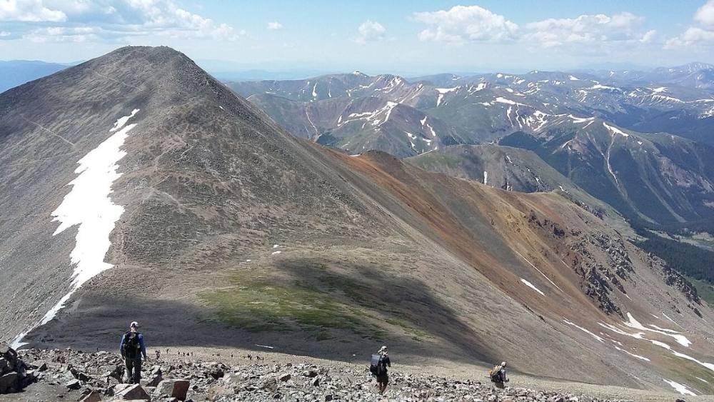
The saddle between Grays and Torreys · Photo: Xnatedawgx
9
13,400-foot corner 13,400' · 3.1 mi
The trail goes east to a corner above Stevens Gulch with a view of a rock tower. From here it turns back toward the upper north slope.
10
Long traverse 13,700' · 3.4 mi
After a short climb, the trail turns right and makes a long traverse west across the slope.
Watch for: Snow can linger here into June.
11
Final switchbacks 14,050' · 3.65 mi
Tight switchbacks on loose gravel lead up the last part of the slope. The summit ridge is just above.
12
Summit 14,275' · 3.75 mi
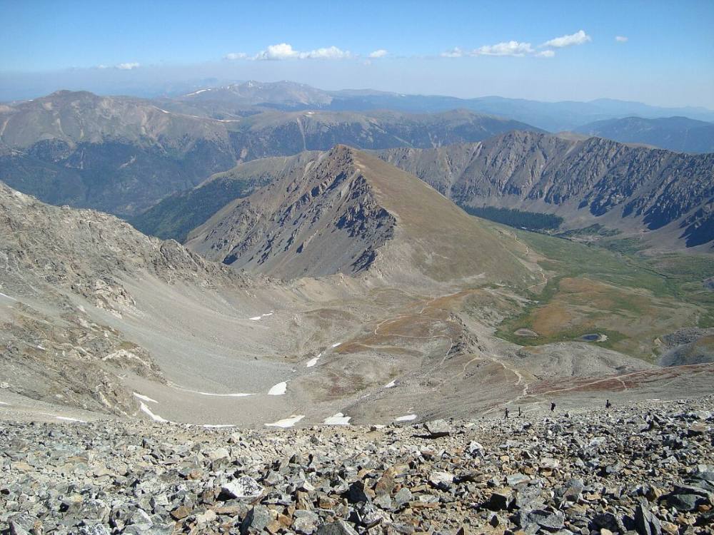
A broad, flat top with a rock windbreak. Torreys is just to the northwest across the saddle, and you can see a long way along the Continental Divide.
Along the route
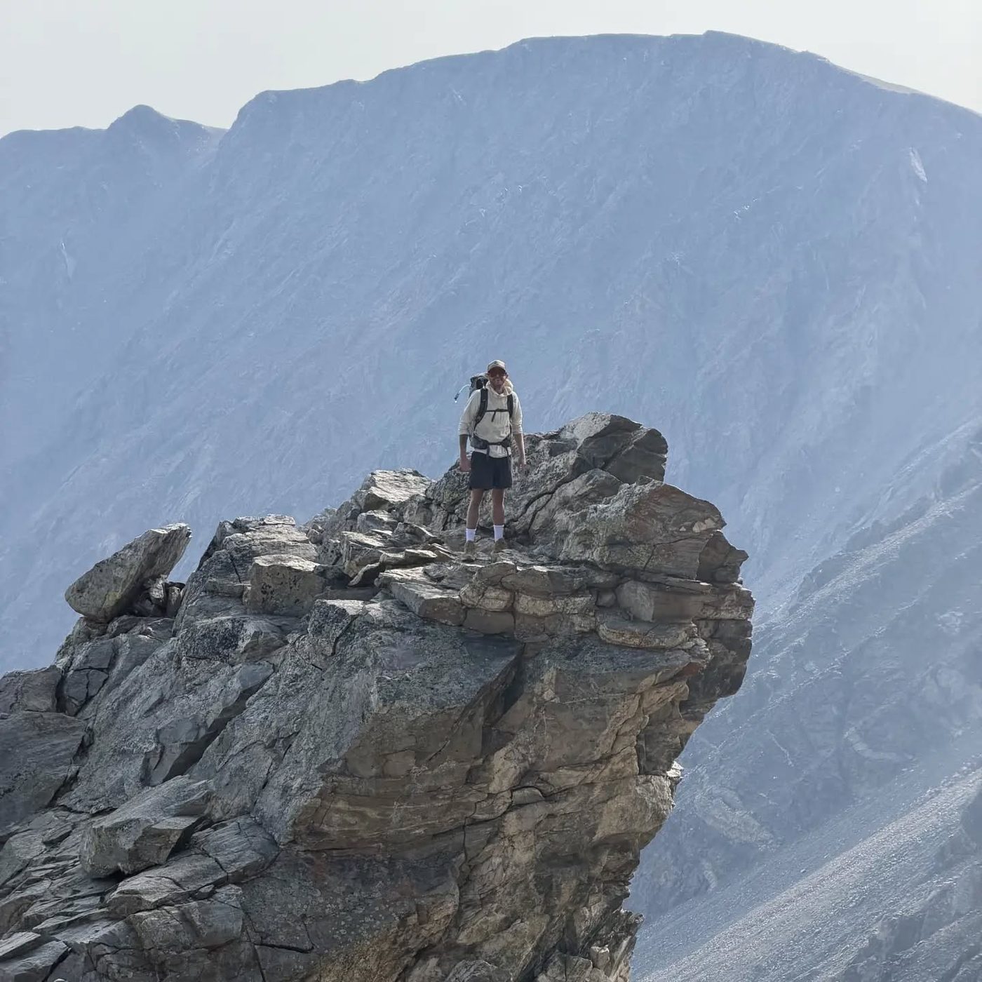
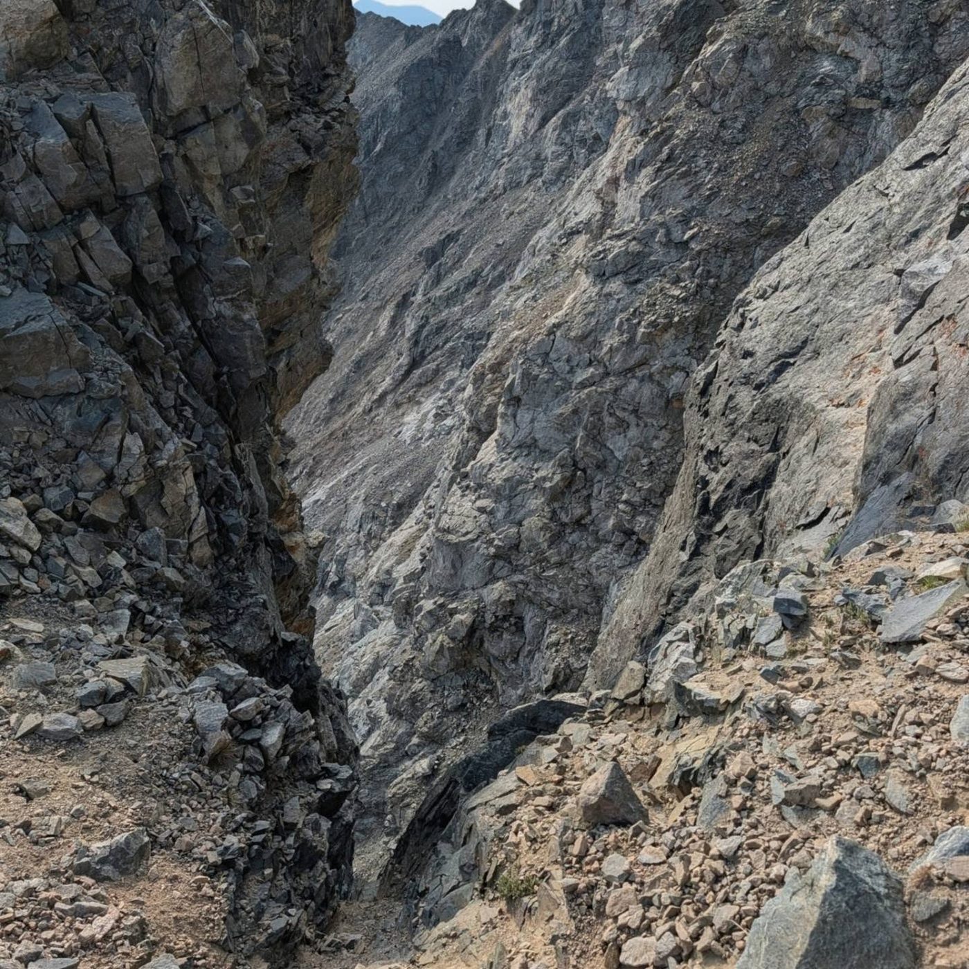
The Grays Peak trail · Photo: Pimlico27Our photo from the routeOur photo from the route
Here Kelso Ridge goes off to the right. Keep going straight on Grays Peak Trail.
Coming down: Keep going straight on Grays Peak Trail. Don’t take Kelso Ridge.
Landmarks to know
Large footbridge over the Stevens Gulch stream at the trailhead.
Grays and Torreys both in view at the head of the valley.
Information sign at about 1.5 miles, followed by a flat, rocky bench.
Trail curving around a small ridge, then bending left above 12,600 feet.
Signed Torreys junction near 13,300 feet: go left.
Corner near 13,400 feet with a rock tower in view.
Long westward traverse, then switchbacks to the flat summit.
Getting down
Go back down the same trail. The gravel on the upper switchbacks is slippery, so take small steps and use poles if you have them. In fog, stay on the trail and do not cut down the slope; the trail is wide and hard to lose if you stay on it.
At the junction near 13,300 feet, make sure you stay on the main trail heading north down the valley and not the branch toward the Torreys saddle. If you add Torreys, go down to the saddle, climb Torreys, and come back down its trail, which rejoins the Grays trail. Only do this if the sky is clear; the saddle is a bad place in a storm.
If things go wrong
The only way off is back down the trail you came up. If a storm moves in, turn around right away and walk down fast; get off the upper switchbacks and away from the ridge. There are no trees until you are back at the trailhead, so crouch low on your pack away from high points if lightning is close. If someone is hurt or has altitude sickness (bad headache, vomiting, confusion), the best treatment is to go down. With the crowds on this peak, other hikers can often help carry a message out. Call 911 if you have signal.
3D flyover
Press play to fly the North Slopes. The graph shows elevation along the way and how much you gain each mile. Open full screen.
For planning only. The line is traced from open map data, not walked in the field, and off-trail parts are drawn straight. Load it in your GPS app to see the route, but navigate with your eyes, a map and the route description.
See the trail on video
A climb of this route filmed by Laura Leanne. The video belongs to them and only plays when you press play.
Jump to
Other routes
All 5 routes up Grays Peak, with the class and round-trip distance for each.
TypeRouteClassTrailheadRound trip
Standard
North Slopes
Class 1
Grays Peak (Stevens Gulch)7.5 mi · 3,000'Full route →
Alternate
South RidgeA crowd-free alternative starting from the Peru Creek basin. You ascend an unmaintained but straightforward path through steep, red talus slopes, wrapping around the south flank of the mountain to merge with the standard trail right below the summit.
A Class 1 rating means a trail, not a stroll. Altitude, distance and weather still decide how this goes. Afternoon thunderstorms build fast above treeline in summer, so plan to be heading down by noon, and carry more water than you think you need.