Afternoon storm risk is the line that matters. Everything else is comfort. In summer, plan to be off the ridge before the build-up starts, not as it starts. Forecast for the summit point, adjusted for its elevation · data from Open-Meteo.
Standard route · North Ridge
Overview
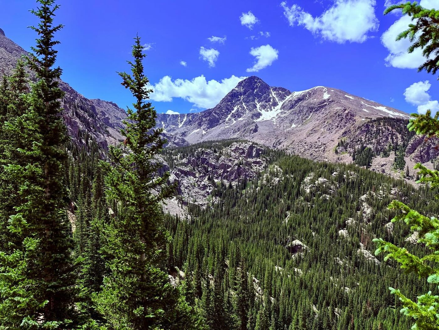
Mount of the Holy Cross is the northernmost 14er in the Sawatch Range, named for the snow-filled cross on its northeast face. The North Ridge route is a Class 2 hike, but it has a twist: you first climb over Half Moon Pass, then drop about 1,000 feet to East Cross Creek before climbing the whole north ridge. On the way back you have to climb back up to the pass.
The day is about 11.25 miles round trip with 5,600 feet of total gain. The ridge above treeline is long and rocky, with a cairned route over talus and boulders instead of smooth trail for much of the way. The last 300 feet to the summit are steep and rugged. Many people camp at designated sites near East Cross Creek to break up the trip.
Plan on 9 to 12 hours round trip. This peak has a long record of lost hikers, mostly on the descent, when tired people drift off the ridge into the wrong drainage. It suits fit hikers with good navigation habits who will stick to the cairned route and save energy for the climb back to Half Moon Pass at the end.
Plan of the day
Start by
By 4:30 or 5 a.m. You will be above treeline on the ridge for 4 or more hours, and you need energy and daylight left for the climb back over Half Moon Pass.
Turnaround
If you have not reached the corner near 13,400 feet by 10:30 a.m., or clouds are building, turn around. From there, the summit is still 600 feet of rough rock above you, and you have a long way out.
Crux
The final 300 feet above the notch at the top of Angelica Couloir, on steep, rugged rock. The 1,000-foot climb back up to Half Moon Pass at the end of the day is the hardest part for many people.
Route-finding
Moderate going up, harder coming down. On the ridge, follow the cairns closely. At the Angelica Couloir notch, do not head straight for the summit; follow the cairns right first. On the descent, stay on the cairned route all the way to treeline and do not drift west off the ridge.
Water
East Cross Creek at about 10,700 feet is the only reliable water. Filter or treat it. There is none on the ridge, so fill up for the climb and save enough for the return over Half Moon Pass. Carry 3 liters or more.
Leave Interstate 70 at Exit 171. Head through Minturn on U.S. 24, and roughly 3 miles beyond town turn right (west) onto the Tigiwon Road. This dirt road runs 8.5 miles and ends at the Half Moon trailhead.
The road is a bit rough but most cars can usually make it. It is closed to vehicles each year from November 22 to June 21, though you can walk or bike it while it is closed. If you plan to go near the opening date, check with the Forest Service first. The route enters the Holy Cross Wilderness, so wilderness rules apply, and camping near East Cross Creek is in designated sites.
RidgeTrail in the treesTundraTalus and screeSnow or couloirScramblingExposed to lightning
The line is elevation, the band underneath is the ground, and the numbered dots match the steps below. Mileage and elevations are approximate.
1
Half Moon trailhead 10,320' · 0 mi
The trail starts at the end of the Tigiwon Road and climbs steadily through the forest toward Half Moon Pass.
2
Half Moon Pass 11,650' · 1.5 mi
Reach the pass after about 1.5 miles. Notch Mountain, a 13er, rises on your left. Cross the pass and start down the far side heading west.
Watch for: Remember you must climb back up here at the end of the day.
3
First view of Holy Cross 11,300' · 1.9 mi
Near 11,300 feet the view opens to the southwest. You can see Holy Cross and the north ridge route across the valley.
Watch for: Study the ridge now. It helps you stay on route later.
4
Below Notch Mountain 11,000' · 2.3 mi
Keep going down past the northwest shoulder of Notch Mountain. The trail drops through the forest toward the creek.
5
Campsite sign 10,700' · 2.8 mi
Near 10,700 feet, just before the creek, you reach an information sign with a map of the designated campsites.
6
East Cross Creek 10,650' · 2.9 mi
Cross East Cross Creek at the low point of the route. From here you start the main climb.
Watch for: Fill water here. There is none higher up.
7
Rocky forest climb 11,200' · 3.3 mi
Climb west away from the creek, then south through the forest. The trail passes some rocky sections.
8
Treeline 11,700' · 3.8 mi
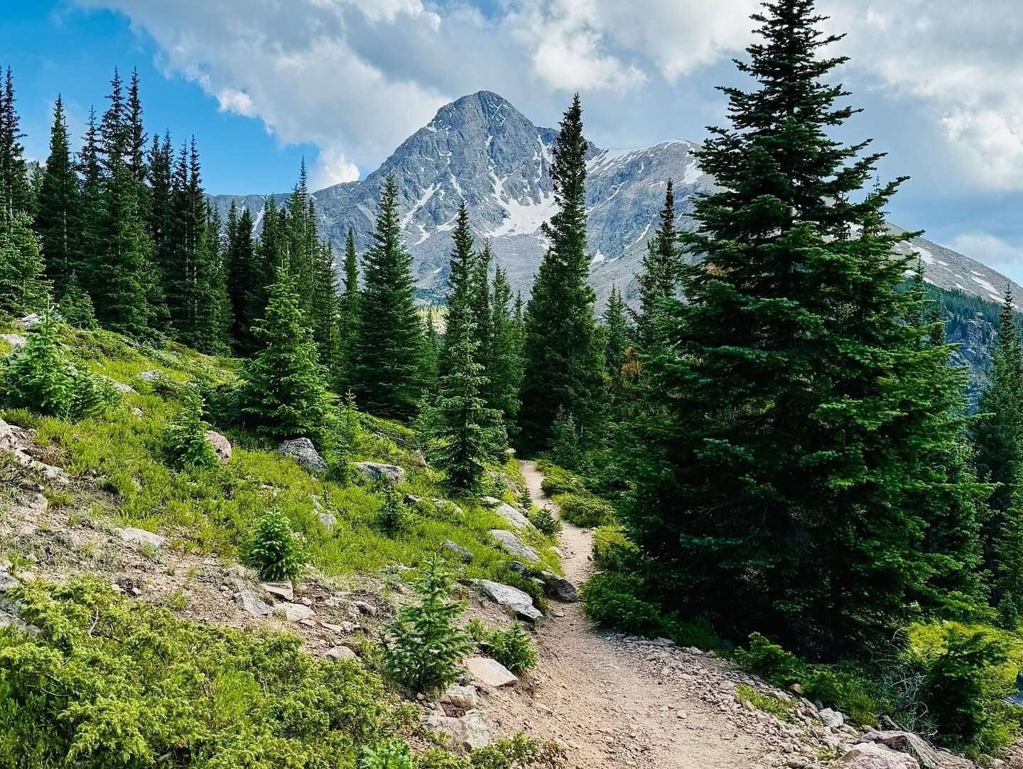
Reach treeline at about 11,700 feet. The trail heads south and southeast toward the east edge of the north ridge.
9
Rocky north ridge 12,200' · 4.2 mi
Above 12,000 feet the ridge is rocky. Follow the cairned route over talus and boulders. The trail is faint in places.
Watch for: Stay with the cairns. Mark this area on your GPS for the descent.
10
Large cairns 13,200' · 4.8 mi
Above 13,200 feet, stay on the ridge or just to its right, following large cairns.
11
Corner near 13,400 feet 13,400' · 5 mi
Reach a corner near 13,400 feet. Beyond it, bear left into rougher, more broken terrain.
12
Angelica Couloir notch 13,700' · 5.3 mi
At 13,700 feet you come to a notch at the top of Angelica Couloir, a steep gully on the east side. Do not climb straight at the summit from here. Follow the cairns to the right first, then turn left toward the top.
Watch for: Do not go down or near the couloir. It is a steep drop.
13
Final climb 13,850' · 5.45 mi
Climb the last rugged slope of large rocks. Use your hands for balance where it is steep.
Watch for: Loose rock. Watch for people above you.
14
Summit 14,007' · 5.6 mi
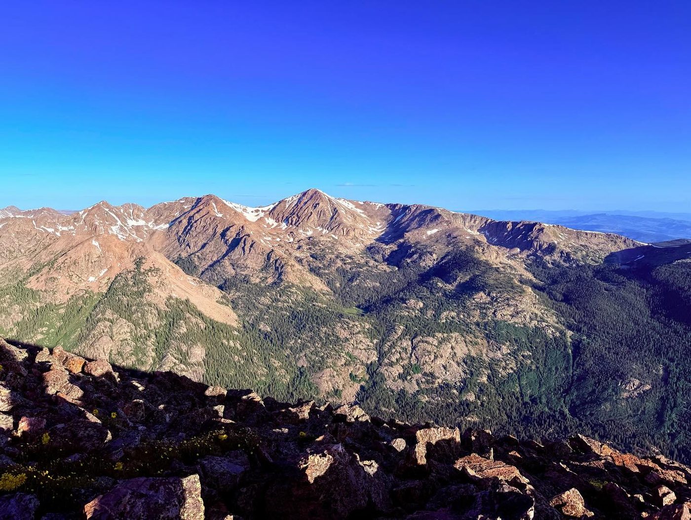
Reach the rocky summit. Peaks of the Sawatch Range spread out to the south, and Notch Mountain is across the valley to the east.
Keep right to stay on Mount of the Holy Cross #2009
Here Notch Mountain goes off to the left. Keep right to follow Mount of the Holy Cross #2009.
Coming down: Keep going straight on Mount of the Holy Cross #2009. Don’t take Notch Mountain.
2Mile 5.6 · 14,010'
Turn left to stay on Mount of the Holy Cross #2009
Here Halo Ridge Trail goes off to the right. Turn left to follow Mount of the Holy Cross #2009.
Coming down: Turn right to stay on Mount of the Holy Cross #2009. Don’t take Halo Ridge Trail.
Landmarks to know
Half Moon Pass with Notch Mountain on the left
The first view of Holy Cross and the north ridge near 11,300 feet
Campsite map sign just before East Cross Creek
East Cross Creek, the low point of the route
Treeline at about 11,700 feet on the north ridge
Large cairns above 13,200 feet
The corner near 13,400 feet
The notch at the top of Angelica Couloir at 13,700 feet
Getting down
Return the same way. From the summit, follow the cairns back down to the Angelica Couloir notch, then down the ridge on the cairned route. Many hikers get lost on this ridge coming down. Tired and in a hurry, they drift west or take what looks like a shorter line, and end up in the wrong drainage far from the trailhead. There are no shortcuts. Follow the cairns all the way back to treeline and the trail to East Cross Creek. Check your GPS often.
Once you cross East Cross Creek, you must climb about 1,000 feet back up to Half Moon Pass. Save food, water, and energy for this. Then descend the last 1.5 miles to the trailhead. Do not leave the trail to try to avoid the climb back to the pass.
If things go wrong
Your only safe way out is back the way you came, down the north ridge to East Cross Creek and over Half Moon Pass. If weather turns on the ridge, head down right away, staying with the cairns; do not drop off the ridge to escape. Treeline near 11,700 feet is the first shelter, and East Cross Creek has water and campsites. If you are lost, stop, check your map or GPS, and go back uphill to the last known cairn rather than pushing down into an unknown valley. If someone is hurt, keep them warm and still, send someone for help if needed, and call 911 if you can get a signal.
3D flyover
Press play to fly the North Ridge. The graph shows elevation along the way and how much you gain each mile. Open full screen.
For planning only. The line is traced from open map data, not walked in the field, and off-trail parts are drawn straight. Load it in your GPS app to see the route, but navigate with your eyes, a map and the route description.
See the trail on video
No video yet
We haven’t found a good video of this route that matches the way we describe it. The route strip, junctions and 3D flyover show the way in the meantime.
Other routes
All 3 routes up Mount of the Holy Cross, with the class and round-trip distance for each.
Expect talus, scree and stretches where the trail disappears. Ankles and weather cause most of the trouble here. Start early, keep an eye on the sky, and set a turnaround time before you leave the car.