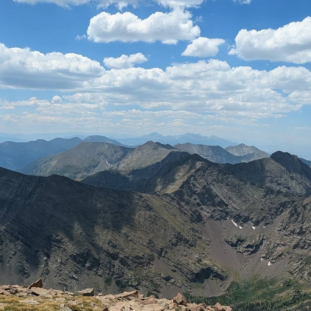
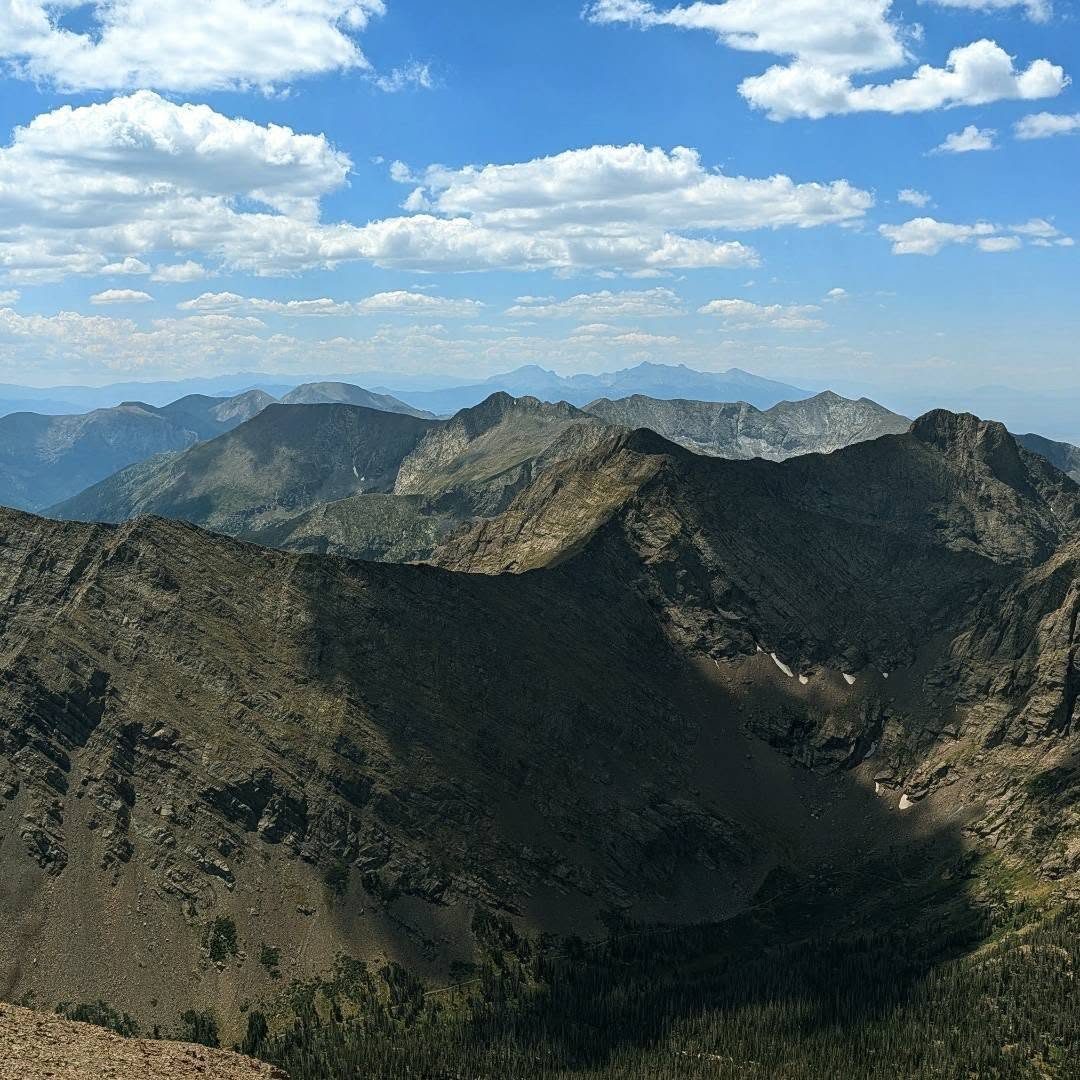
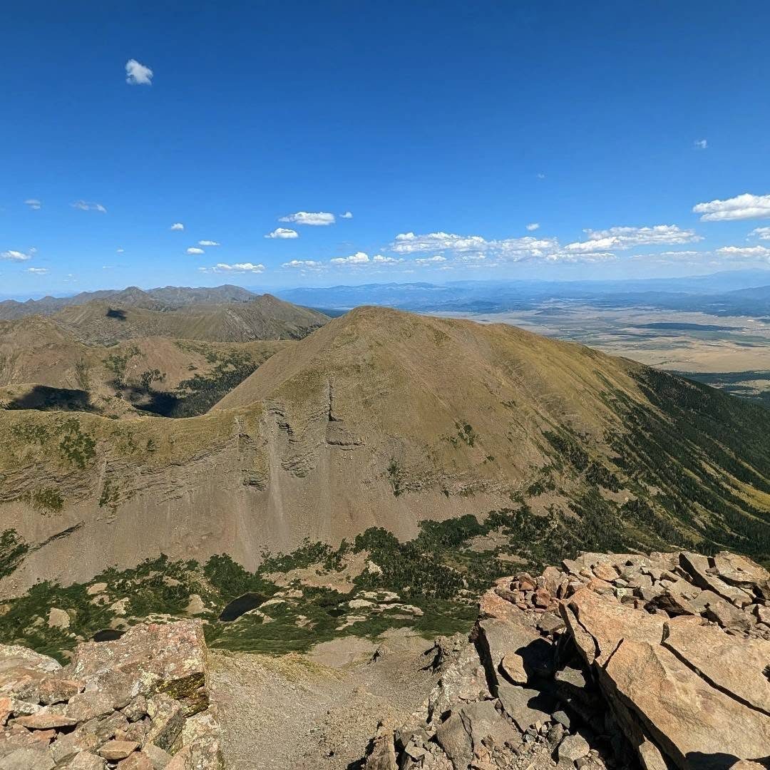
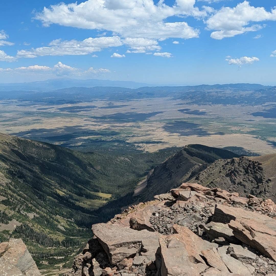
Afternoon storm risk is the line that matters. Everything else is comfort. In summer, plan to be off the ridge before the build-up starts, not as it starts. Forecast for the summit point, adjusted for its elevation · data from Open-Meteo.
Standard route · West Ridge
Overview
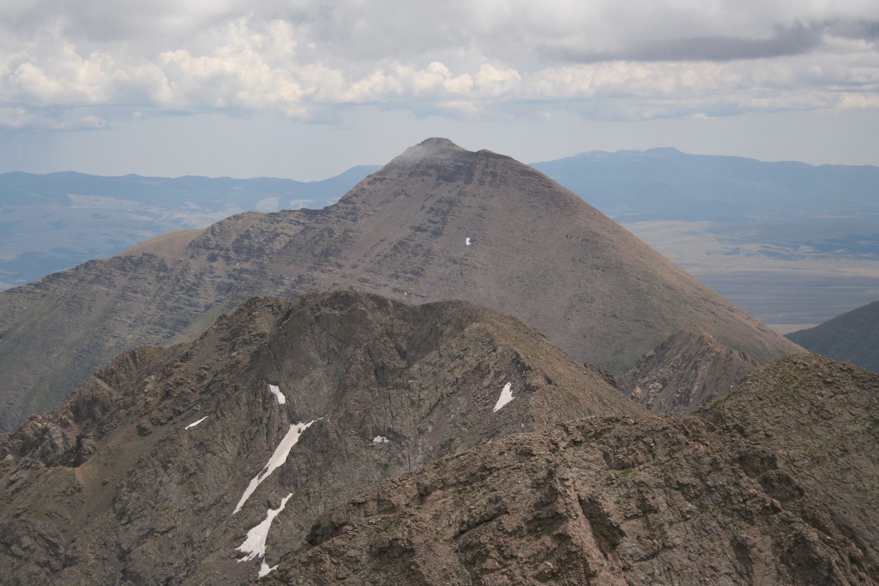
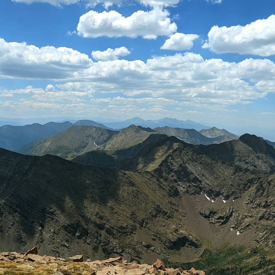
Humboldt Peak is the gentlest fourteener in the Crestone group of the Sangre de Cristo range. It sits across the valley from Crestone Needle and Crestone Peak, and its summit gives one of the best views of those jagged peaks. The route follows an old road and then a trail up to South Colony Lakes, switchbacks up to a saddle, and climbs a long, rocky west ridge to the top.
It is a good choice for hikers who have done a few Class 1 or easy Class 2 peaks. It is not a walk-up, though. The upper ridge is a steady climb over talus and boulders where the trail comes and goes, and there is a short rocky section below a false summit. Plan on 7 to 9 hours round trip from the upper trailhead. Many people camp near the lakes and make it a shorter day.
The main dangers are wind and lightning on the long, open ridge, and losing the trail in the rocks on the way up or down.
Plan of the day
Start by
By 5 a.m. from the trailhead, or by 6 a.m. from camp at the lakes. Storms often form over the Sangres by late morning.
Turnaround
If you are not at the 12,850-foot saddle by 10 a.m., or clouds are building over the Crestones, turn around. The ridge above the saddle is fully exposed for over a mile.
Crux
The rocky section below the false summit near the top of the west ridge, where you traverse right and zig-zag up through boulders.
Route-finding
The road and lake trail are easy. At about 2.5 miles, turn right off the road onto the trail. Above 13,700 feet on the ridge, the trail fades in places; stay near the crest and look for small cairns.
Water
The creek and South Colony Lakes are good sources. Filter or treat all water. There is no water above the lakes, so fill up before heading to the saddle.
From Westcliffe, drive south on Highway 69 for 4.5 miles and turn right on Colfax Lane. Follow it 5.5 miles to its end. Turn right onto a dirt road and go 1 mile to a junction. Continue straight up County Road 120. The lower (2WD) trailhead is 0.3 mile up, at about 8,800 feet.
The upper trailhead is 2.7 miles farther, near 9,950 feet, where the road is now gated before a river crossing. This road is rough and rocky and needs a high-clearance 4WD vehicle. Parking and camp spots are at the gate. If you start from the lower lot instead, add about 5.5 miles and 1,200 feet round trip. The trail starts by the kiosk in the main parking area. The route enters the Sangre de Cristo Wilderness.
RoadTrail in the treesTundraRidgeExposed to lightning
The line is elevation, the band underneath is the ground, and the numbered dots match the steps below. Mileage and elevations are approximate.
1
Upper South Colony trailhead 9,950' · 0 mi
Start at the kiosk by the gate. Cross a footbridge and walk up the old South Colony Lakes road through the forest. The road is rocky but easy walking.
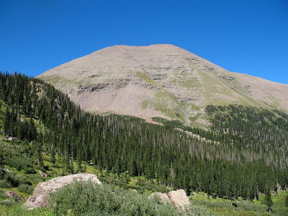
Humboldt from the lower South Colony road · Photo: Meniscus
2
Old road climbing 10,500' · 1.3 mi
The old road climbs steadily through pine and aspen with the creek below on your left.
3
Humboldt trail junction 11,100' · 2.5 mi
Turn right off the road onto a trail that heads west through the forest. The road continues on toward the Crestones.
Watch for: Easy to miss. Turn right here.
4
Rocky area 11,350' · 3.1 mi
After about 0.6 mile on the trail, cross an open, rocky patch.
5
Camp spots 11,600' · 3.3 mi
Near 11,600 feet the trail passes camping spots off to the left.
6
Lower South Colony Lake 11,700' · 3.5 mi
The trees end. The trail winds through willows on the north side of the creek and Lower South Colony Lake. Crestone Needle towers above the lakes to the south; Humboldt's long west ridge is to the north.
Watch for: Last water. Fill up here.
7
Junction above upper lake 12,100' · 4 mi
Follow the trail northwest up the hillside to a junction above the upper lake. Turn right toward the slope below Humboldt's west ridge. The left trail goes to Broken Hand Pass and the Crestones.
Watch for: Turn right here.
8
Saddle switchbacks 12,500' · 4.2 mi
The trail switchbacks north up a grassy slope toward the saddle between a 13,290-foot point on the left and Humboldt on the right.
9
Humboldt saddle 12,850' · 4.4 mi
Reach the saddle after about 700 feet of climbing. Turn right. Humboldt's broad west ridge rises to the east.
Watch for: Exposed to wind from here on.
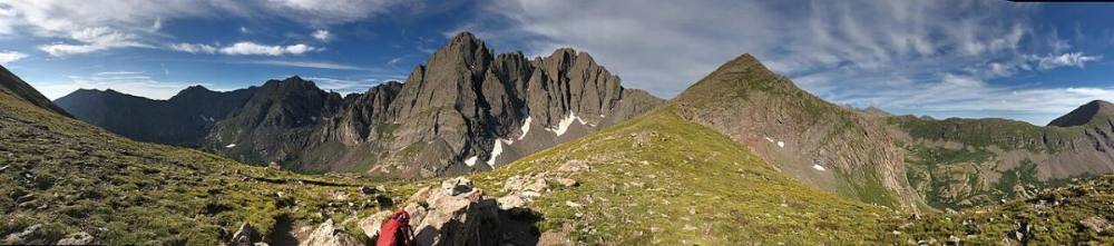
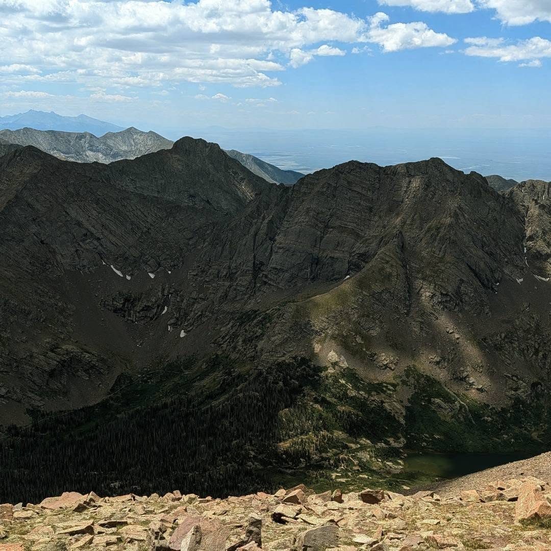
Looking across from Humboldt's west ridge · Photo: GeoCupcakes
10
Lower west ridge 13,400' · 4.7 mi
Follow the trail on or just left of the ridge crest over rocks and tundra.
11
Upper west ridge 13,700' · 4.85 mi
Above 13,700 feet the trail breaks up in the rocks. Stay near the ridge and look for small cairns and bits of trail.
Watch for: Easy to lose the trail here.
12
False summit 13,900' · 5 mi
Below a false summit the terrain gets rougher. Traverse right a short way, then zig-zag up through boulders to the west end of the summit ridge.
Watch for: Loose rock. Watch for people below you.
13
Summit ridge 14,000' · 5.1 mi
At the top of the ridge the true summit comes into view to the east. Walk about a quarter mile along the ridge.
14
Summit 14,068' · 5.25 mi
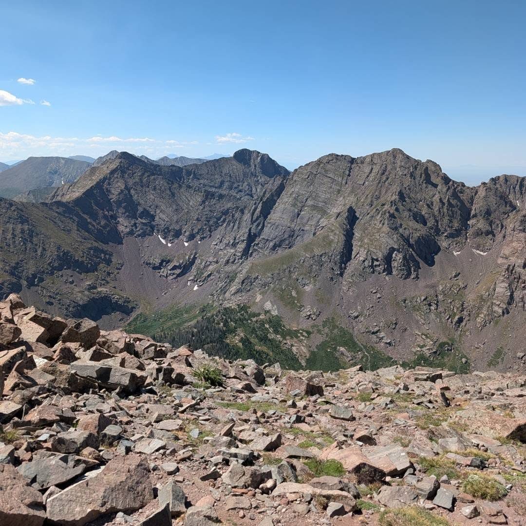
Climb the right side of the short final pitch to the top. The view of Crestone Needle and Crestone Peak across the valley is the highlight.
Along the route
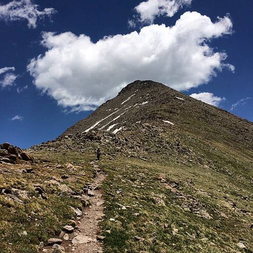
Humboldt's false summit · Photo: gregor_y
Landmarks to know
Footbridge near the gated upper trailhead.
Right turn off the old road onto a trail at about 2.5 miles, near 11,100 feet.
Lower South Colony Lake below the dark walls of Crestone Needle.
Trail junction above the upper lake: turn right.
Switchbacks to the 12,850-foot saddle.
Rocky false summit near the top of the west ridge.
A quarter-mile walk east along the summit ridge to the top.
Getting down
Go back the way you came. The main place to go wrong is the upper ridge below the false summit. Retrace the zig-zag down through the boulders and the short traverse, then stay close to the crest where the trail is faint. It is easy to drift onto the south side of the ridge in the rocks; if the slope gets steep and loose, head back up to the crest.
From the saddle, take the switchbacks down to the junction above the upper lake and turn left to go down past the lakes. In the forest, watch for where the trail meets the old road and turn left to follow it back down to the trailhead.
If things go wrong
Once on the ridge, the only safe way down is back to the saddle and the trail. Do not try to drop off the ridge toward the lakes on a steep line. If weather turns, get off the ridge quickly and head down the switchbacks to the lakes; the trees below the lakes give better shelter. If someone is hurt, get them off the ridge if you can, keep them warm, and send someone down for help. The lakes are a popular camping area, so other parties may be nearby. Call 911 if you have a signal.
3D flyover
Press play to fly the West Ridge. The graph shows elevation along the way and how much you gain each mile. Open full screen.
For planning only. The line is traced from open map data, not walked in the field, and off-trail parts are drawn straight. Load it in your GPS app to see the route, but navigate with your eyes, a map and the route description.
See the trail on video
A climb of this route filmed by The Virtual sherpa. The video belongs to them and only plays when you press play.
Jump to
Other routes
All 3 routes up Humboldt Peak, with the class and round-trip distance for each.
Expect talus, scree and stretches where the trail disappears. Ankles and weather cause most of the trouble here. Start early, keep an eye on the sky, and set a turnaround time before you leave the car.