Afternoon storm risk is the line that matters. Everything else is comfort. In summer, plan to be off the ridge before the build-up starts, not as it starts. Forecast for the summit point, adjusted for its elevation · data from Open-Meteo.
Standard route · Via Challenger Point
Overview
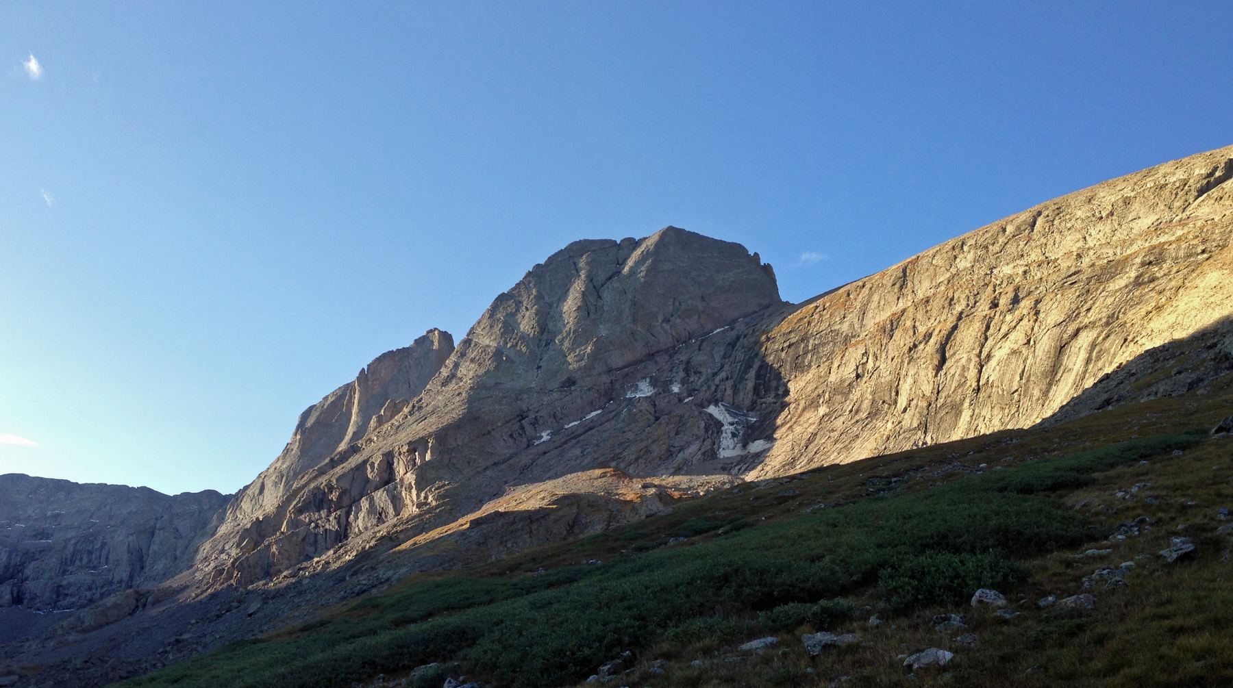
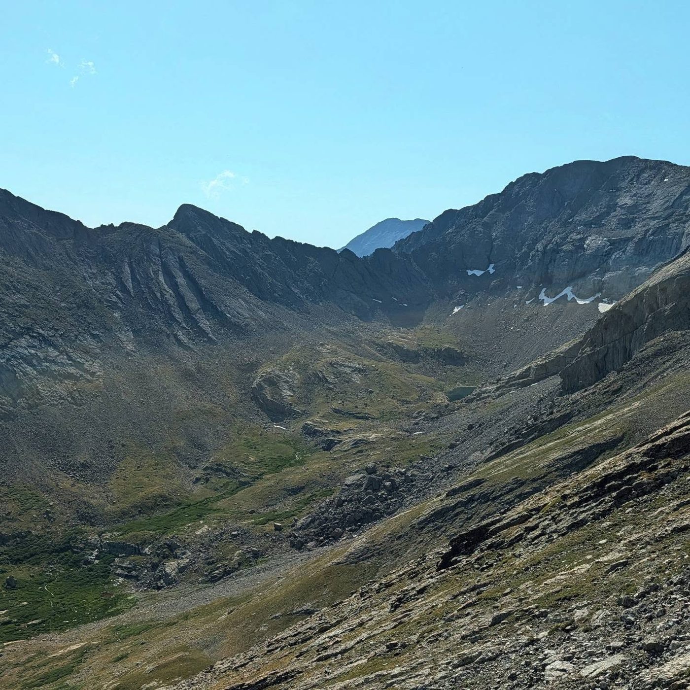
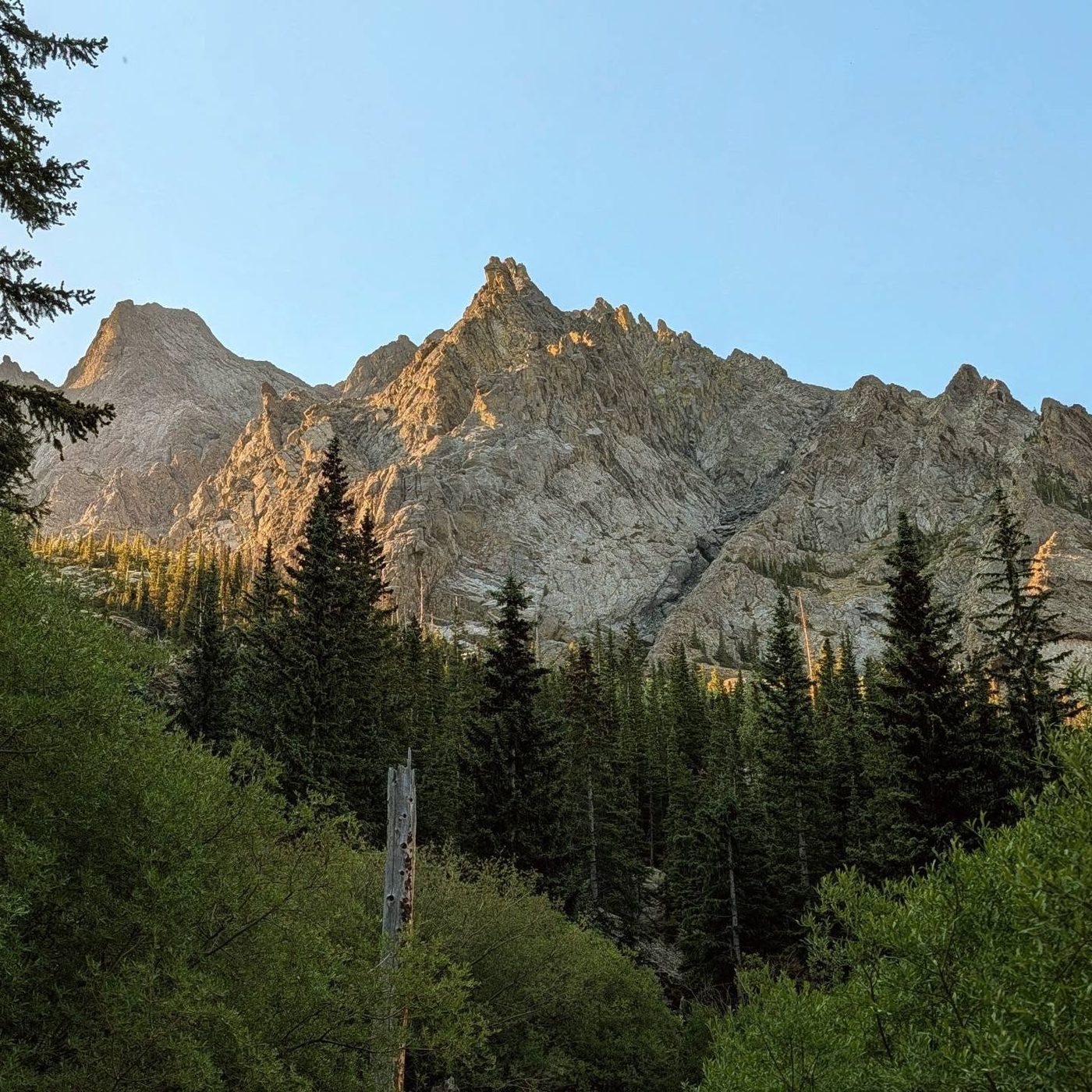
Kit Carson is a big, complex peak in the Sangre de Cristo range above the town of Crestone. The standard route goes over Challenger Point first. From Challenger's summit you drop to a small saddle and follow Kit Carson Avenue, a wide ledge that cuts across the peak's face, then climb a broad gully to the top. On the way back you must climb back over Challenger.
This is a long, committing day. From the trailhead the round trip is 15 miles with about 6,250 feet of gain. From Willow Lake it is about 5.5 miles and 3,450 feet, so most people camp near the lake. The climbing includes the steep, loose north slope of Challenger, exposed walking along the Avenue, and hard Class 2 with short easy Class 3 moves in the summit gully. Rockfall, route-finding and weather are all real concerns.
Only go on to Kit Carson from Challenger if the sky is clear and you have time. Once you are on the Avenue you are committed to climbing back up to Challenger before you can go down. Plan on 10 to 13 hours from a camp at the lake to the lake and back, or much longer in one push from the trailhead.
Plan of the day
Start by
From a camp near Willow Lake, leave by 4:30 or 5 a.m. From the trailhead in one push, start by 2 a.m. You need to be off the high ridges before afternoon storms.
Turnaround
Be on Challenger's summit by 10 a.m. If you are later, or clouds are building, stop at Challenger and go down. On Kit Carson, be heading back by noon at the latest.
Crux
The steep, loose north slope of Challenger, and the upper gully on Kit Carson with hard Class 2 and short easy Class 3 moves. The Avenue has exposure but is wide.
Route-finding
Hard in places. Challenger's upper slope has many lines. On Kit Carson, the key is finding the entry into the summit gully near 13,650 feet, just before a rock rib past the end of the Avenue. Study that spot, because you must find it again and walk back the right way.
Water
Willow Creek and Willow Lake are the sources. Above about 12,000 feet there is only snowmelt early in the season. Carry enough for the full climb from the lake and back. Filter or treat.
Take Colorado 17 to Moffat in the San Luis Valley. At the south edge of town, follow the sign for Crestone and turn east on County Road T. Drive about 11.5 miles to Crestone. Go straight into town, turn left on Alder Street, then right on Galena Avenue.
Galena leaves town and turns to dirt as Forest Road 949. The trailhead is about 2 miles up this road, at about 8,850 feet. The road is rough in places but most vehicles can make it when it is dry. The route enters the Sangre de Cristo Wilderness, which has its own rules on group size, camping, fires and dogs; check with the Forest Service before you go.
Talus and screeTundraScramblingRidgeExposed to lightning
The line is elevation, the band underneath is the ground, and the numbered dots match the steps below. Mileage and elevations are approximate.
1
Willow Creek trailhead 8,850' · 0 mi
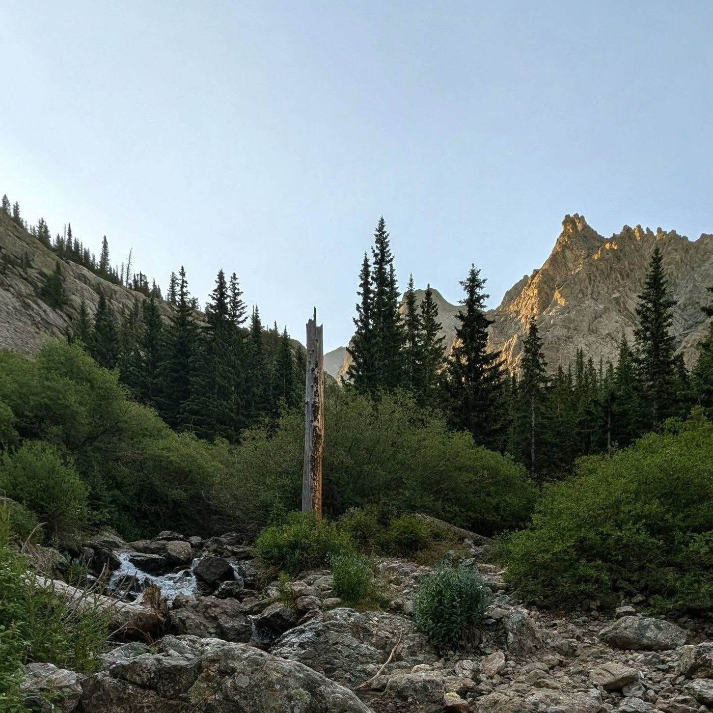
The trail climbs through dry forest with long switchbacks, then heads up the Willow Creek valley toward the lake.
2
Willow Lake 11,564' · 4.75 mi
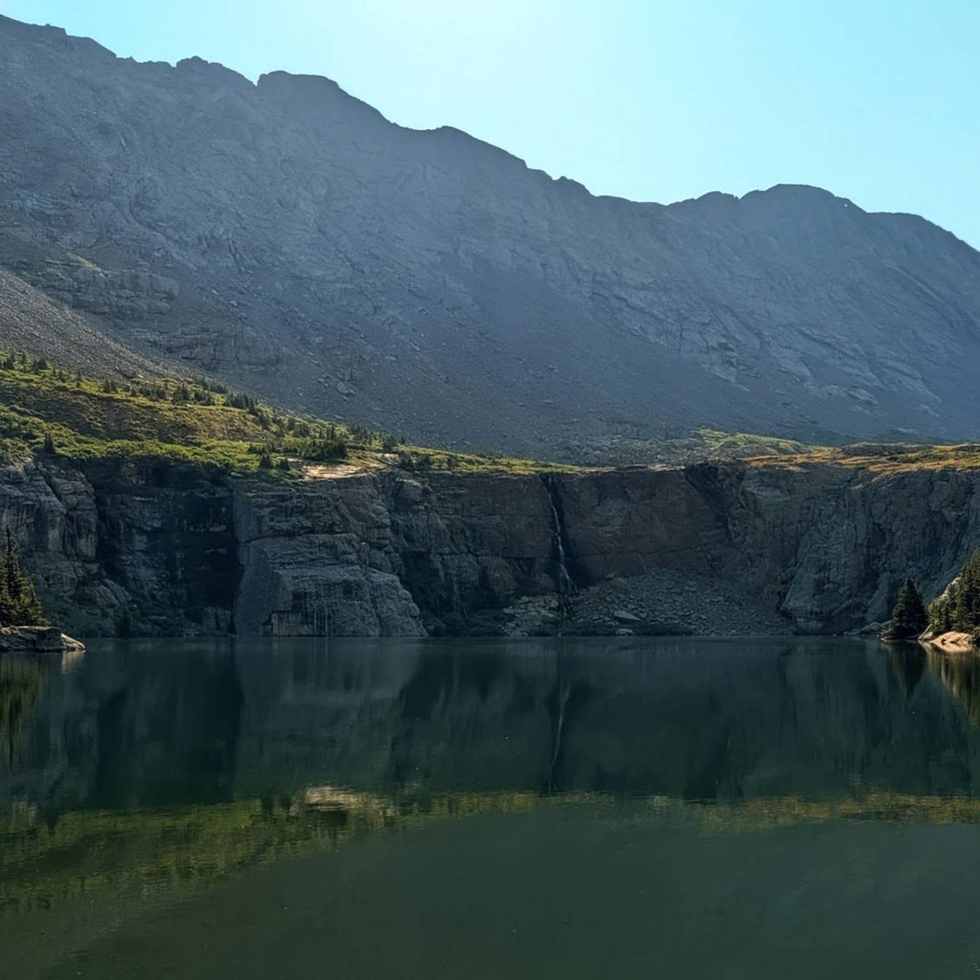
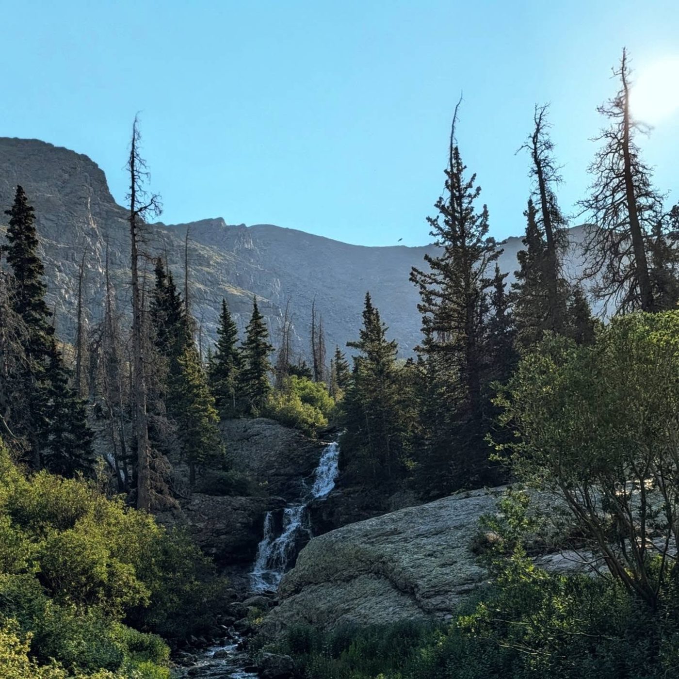
The lake sits in a cliff-ringed bowl with a tall waterfall at its east end. Campsites are in the trees just below. Walk around the lake's side through a boulder field toward the waterfall and cross the stream above it.
3
Junction above the lake 11,850' · 5.25 mi
On the flat ground above the lake, follow cairns to a junction and turn right onto the trail toward Challenger and Kit Carson.
4
Rock rib 12,800' · 5.9 mi
The trail zig-zags through ledges, eases near 12,300 feet, then follows the left side of a big rock rib. The path gets faint and the slope steepens.
5
Challenger's loose slope 13,600' · 6.35 mi
Near 13,200 feet bear left, cross slabs and climb about 600 feet of steep, loose talus. Follow cairns, stay right of the snow-filled gully, and aim for a notch in the ridge.
Watch for: Rockfall. Spread out and never stand below others.
6
Challenger's summit ridge 14,000' · 6.6 mi
Go through the notch and turn left along the ridge. Some parts are narrow; stay slightly left of the crest if needed.
7
Challenger Point 14,081' · 6.75 mi
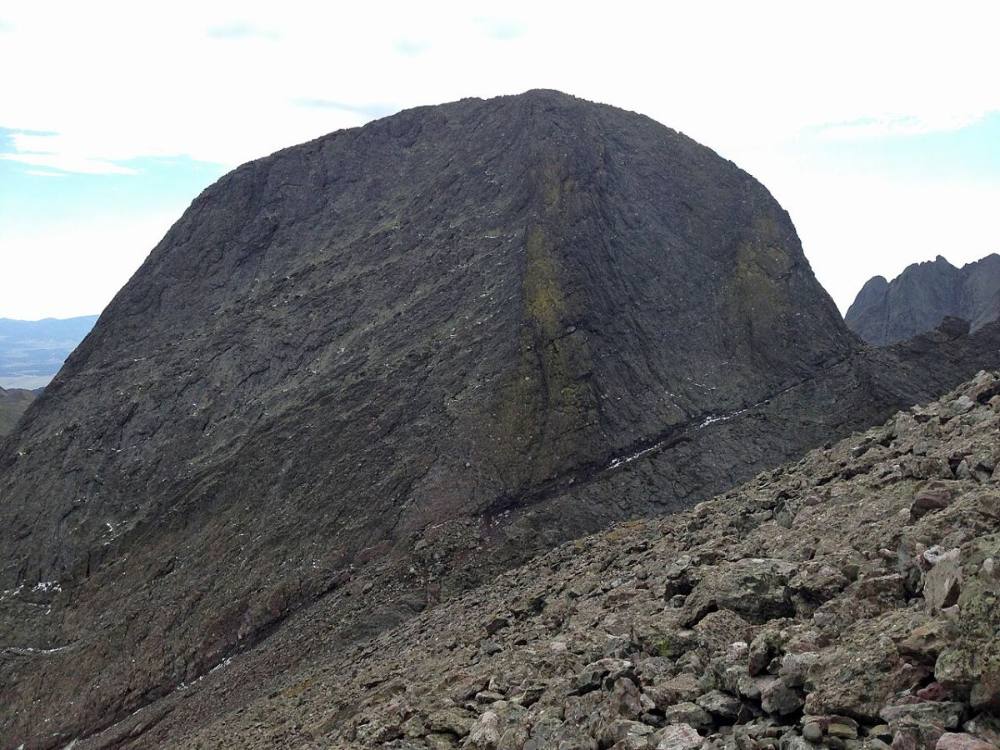
The summit has a memorial plaque. Kit Carson is the big mass right in front of you to the east. Decide here whether the weather and your time allow going on.
Watch for: This is the main go or no-go point. You must come back over this summit.
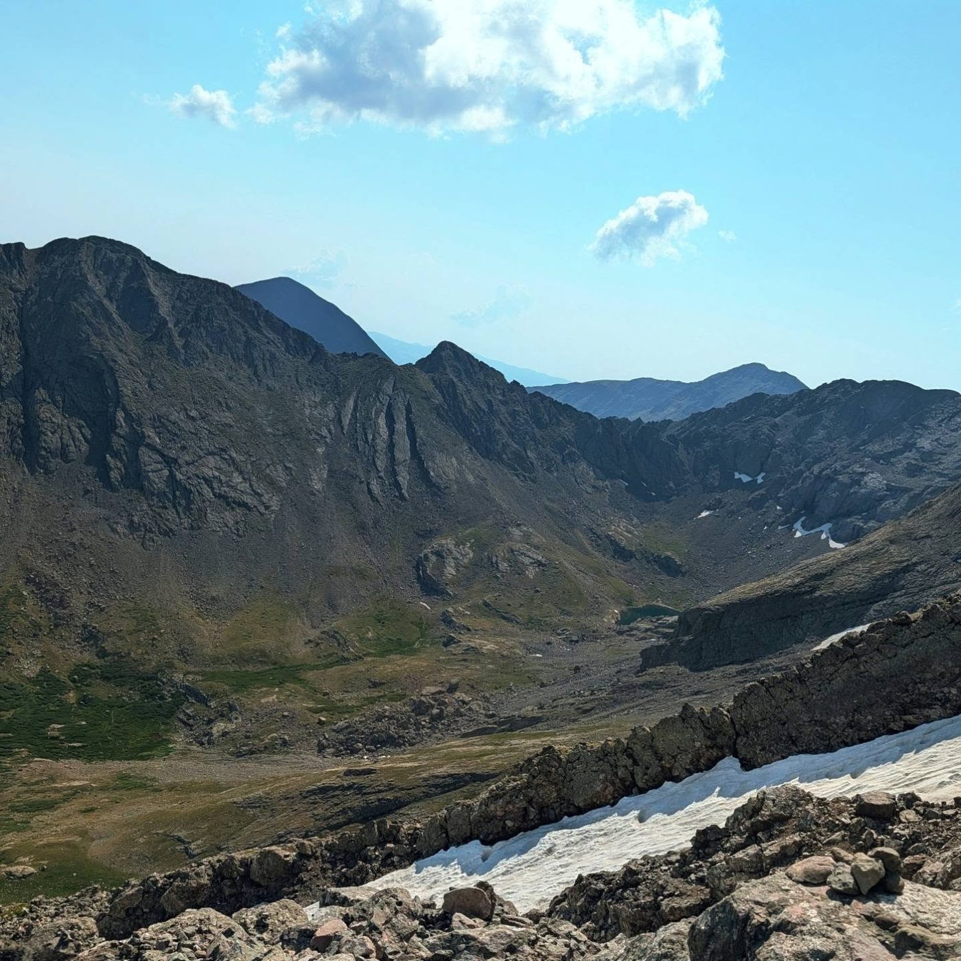
Kit Carson from the top of Challenger Point · Photo: Fredlyfish4
8
Saddle and start of the Avenue 13,800' · 6.85 mi
Drop east to the small saddle at about 13,800 feet. Step onto Kit Carson Avenue, a wide Class 2 ledge running south across the side of the peak.
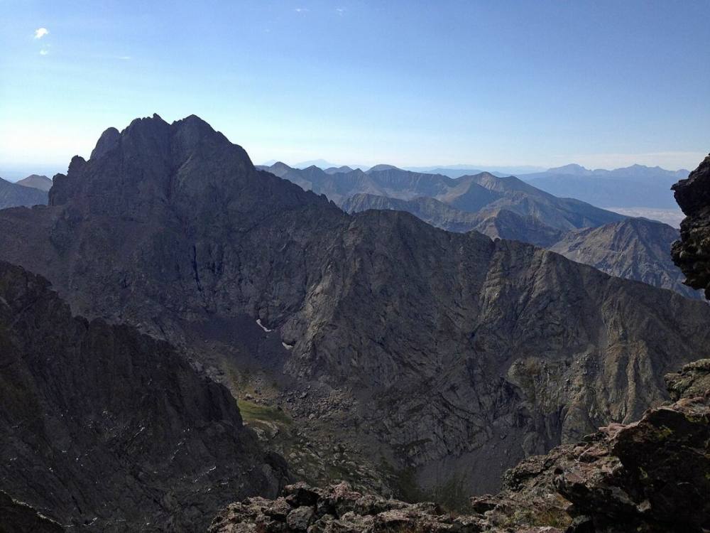
Looking at Crestone Peak from Kit Carson Avenue · Photo: Fredlyfish4
9
Saddle by The Prow 13,960' · 7 mi
Follow the Avenue up to a saddle at about 13,960 feet between Kit Carson and a large rock fin called The Prow. From here you can see the next stretch of the Avenue dropping away to the east.
10
Wide notch on the Avenue 13,800' · 7.15 mi
Follow the Avenue downhill and go through a wide notch. Keep descending along the ledge.
Watch for: Exposure off the outside edge of the ledge.
11
Gully entry 13,650' · 7.25 mi
Past the end of the Avenue you come to a rock rib. Right before it, go left into a wide, shallow gully. Pause and take a good look at the rib, the Avenue behind you and the mouth of the gully, since you have to find this exact spot again later.
Watch for: Missing this turn on the way back is a common and dangerous mistake.
12
Summit gully 13,850' · 7.35 mi
Climb the middle of the gully on steep, loose Class 2 ground with a few short easy Class 3 moves. Follow bits of trail and small cairns up the easiest line. Near the top, angle left around the last rock outcrops.
Watch for: Loose rock. Climb one at a time if others are above you.
13
Top of the gully 14,000' · 7.42 mi
The ground opens up and the summit comes into view to your left. Walk to the summit ridge.
14
Summit 14,167' · 7.5 mi
Follow the ridge to the top. The Crestones rise close to the east and the San Luis Valley spreads out far below to the west.
Here South Crestone Trail goes off straight ahead; an unmarked path goes off to the right. Keep left to follow Willow Lake Trail.
Coming down: Keep right to stay on Willow Lake Trail. Don’t take South Crestone Trail or the unmarked path.
2Mile 0.2 · 8,960'
Turn left to stay on Willow Lake Trail
Here an unmarked path goes off to the right. Turn left to follow Willow Lake Trail.
Coming down: Turn right to stay on Willow Lake Trail. Don’t take the unmarked path.
3Mile 1.6 · 9,760'
Turn left to stay on Willow Lake Trail
Here an unmarked path goes off straight ahead. Turn left to follow Willow Lake Trail.
Coming down: Turn right to stay on Willow Lake Trail. Don’t take the unmarked path.
Landmarks to know
Willow Lake and its tall waterfall at the east end.
A large rock rib on Challenger's north side, followed on its left.
The notch at the top of Challenger's loose slope.
The memorial plaque on Challenger's summit.
Kit Carson Avenue, a wide ledge slanting across the face.
The saddle beside The Prow, a large rock fin, at about 13,960 feet.
A wide notch on the Avenue, then a broad gully on the left just before a rock rib.
Open slopes near 14,000 feet with the summit to your left.
Getting down
Go back down the gully the way you came. Watch closely for the gully mouth at about 13,650 feet and turn right onto the Avenue there. Do not keep going down the gully or past the rib; that leads onto steep, unknown ground. Walk back up the Avenue through the wide notch to the Prow saddle, then along the ledge to the saddle below Challenger, and climb back to Challenger's summit. The climb back up is tiring and often comes as storms build.
From Challenger, follow the ridge back northwest to the notch and down the loose north slope. This is the second place people go wrong. Keep the snow gully on your right as you face downhill, look for your cairns, and aim for the rock rib. Gullies that seem to lead straight to Willow Lake can end at cliffs. Go slowly and do not knock rocks onto people below.
If things go wrong
Challenger's summit is the last easy place to change your mind. Once on the Avenue, there is no safe shortcut off the mountain; the way out is back over Challenger. If a storm threatens while you are on Kit Carson, start back at once. If it catches you on the Avenue, keep moving but stay off the highest points, and avoid waiting on the summits. Below Challenger's loose slope, the terrain near the rock rib and the trail to Willow Lake are the nearest safer ground. If someone is hurt, get others out from under any rockfall, keep the person warm, and call 911 if you can get a signal. A rescue here can take a full day.
3D flyover
Press play to fly the Via Challenger Point. The graph shows elevation along the way and how much you gain each mile. Open full screen.
For planning only. The line is traced from open map data, not walked in the field, and off-trail parts are drawn straight. Load it in your GPS app to see the route, but navigate with your eyes, a map and the route description.
See the trail on video
A climb of this route filmed by Karl Decker Presents. The video belongs to them and only plays when you press play.
Jump to
Other routes
All 5 routes up Kit Carson Peak, with the class and round-trip distance for each.
Class 3 means sustained scrambling with your hands, on terrain where a fall has real consequence. Build up on easier scrambles first, wear a helmet, go with someone who has led this kind of ground, and remember that downclimbing is harder than going up.