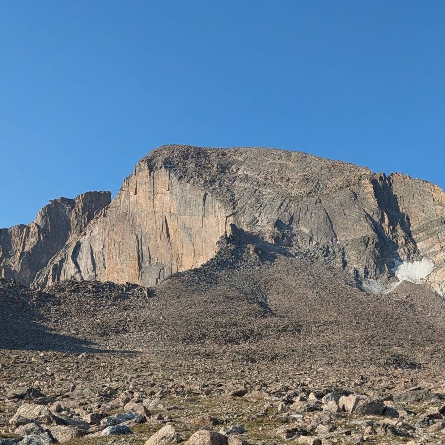
Afternoon storm risk is the line that matters. Everything else is comfort. In summer, plan to be off the ridge before the build-up starts, not as it starts. Forecast for the summit point, adjusted for its elevation · data from Open-Meteo.
Standard route · Keyhole Route
Overview
Longs Peak is the highest point in Rocky Mountain National Park and the best known fourteener in Colorado. Its fame fools people. The Keyhole Route is a very long day: about 6 miles of trail to a notch in the ridge, then over a mile of real Class 3 scrambling on the back side of the mountain. You cross narrow ledges, climb a long, loose gully, edge along an exposed shelf with a big drop, and finish on steep slabs. The route is marked with painted bull's-eyes, but you still need to pay attention to find them.
This climb is for experienced hikers who are comfortable using their hands on exposed rock and who have done other Class 3 peaks. Most parties take 10 to 15 hours round trip and start between 1 and 3 a.m. The scrambling section is slow, and there is no fast way off it. People die on Longs almost every year, most often from falls on the way down or from getting caught by weather or ice.
The route is only a scramble when it is dry. Wet rock, ice, or snow on the ledges, the gully or the final slabs turns it into a technical climb. Check conditions before you go and be ready to turn back at the Keyhole.
Plan of the day
Start by
Between 1 and 3 a.m. You need to reach the Keyhole around sunrise to finish the scramble and get back through the Keyhole before afternoon storms.
Turnaround
If you are not through the Keyhole by 8 a.m., or you see ice on the Ledges or dark clouds building to the west, turn back at the Keyhole. If you are not on the summit by about 11 a.m., turn around wherever you are.
Crux
The 30 feet of steeper rock at the top of the Trough is the hardest single move. The Narrows and the Homestretch are the most exposed parts; a slip on either could be fatal.
Route-finding
The trail to the Boulder Field is clear. Above about 12,800 feet the trail fades and you follow cairns to the Keyhole. Past the Keyhole, follow painted bull's-eyes, which can be hard to spot in the Trough. People get off route on the Ledges and in the Trough, especially on the way down.
Water
Alpine Brook crosses the trail in the forest and there are small streams on the lower slopes. Filter or treat it. There is no reliable water above the Boulder Field, so carry at least 3 liters for the scramble.
Fully paved, spacious National Park lot directly off Highway 7; fills by 2:00 AM on summer weekends.
Terrain
Transitions from a pristine, forested dirt path to a bleak, wind-battered, high-exposure granite rockscape.
You begin hiking by headlamp, marching up steady, clean stone switchbacks under a thick pine canopy. After breaking treeline, you navigate the bleak, boulder-strewn landscape of the Boulderfield before reaching the Keyhole. Passing through this rock window instantly changes the hike into an intense Class 3 scramble. You hand-shuffle across narrow, exposed ledges of smooth yellow granite, scramble up a steep, loose trough, and finish with a hands-on climb up the high-exposure summit wall.
The trailhead is on the west side of Colorado Highway 7 between Estes Park and Allenspark. From the junction of US 36 and Highway 7 in Estes Park, drive about 9 miles south to the signed turnoff for the Longs Peak Ranger Station. From the south, drive about 10 miles north on Highway 7 from its junction with Highway 72. Turn west and drive 1 mile on a paved road to the trailhead and ranger station.
The road is paved and fine for any car. The lot is small and on summer weekends it can be full in the middle of the night; some people end up parking far down the road. You may not sleep in your car in the lot. There is a tent campground next to the trailhead and more campgrounds near Meeker Park. This is a national park: check current park rules before you go, and note that dogs are not allowed on the trail.
Trail in the treesTundraRidgeTalus and screeScramblingExposed to lightning
The line is elevation, the band underneath is the ground, and the numbered dots match the steps below. Mileage and elevations are approximate.
1
Longs Peak Ranger Station 9,400' · 0 mi
Start up the East Longs Peak Trail behind the ranger station. It is wide and smooth, climbing through thick pine forest. You will be doing this part by headlamp.
2
First junction 9,650' · 0.5 mi
A signed side trail branches off. Stay left on the main trail.
3
Alpine Brook bridge 10,200' · 1.5 mi
The trail passes through an area of twisted, old trees and then switchbacks up a hill. Cross Alpine Brook on a log bridge.
Watch for: Good place to top off water.
4
Tree line on Mills Moraine 11,000' · 2.5 mi
The forest ends and the view opens. The huge east face of Longs, with its sheer upper wall called the Diamond, is ahead. To its right is the rounded bulk of Mount Lady Washington. The trail follows a long, grassy moraine southwest.
5
Chasm Lake junction 11,550' · 3.3 mi
A signed junction on the moraine. Turn right. The left trail goes to Chasm Lake below the Diamond.
Watch for: Turn right here, not left to Chasm Lake.
6
Granite Pass 12,080' · 4.2 mi
The trail traverses west and northwest across the side of Mount Lady Washington to a broad pass. Another trail goes right toward North Longs. Stay left on the East Longs Peak Trail.
Watch for: Stay left at Granite Pass.
7
Boulder Field 12,450' · 5 mi
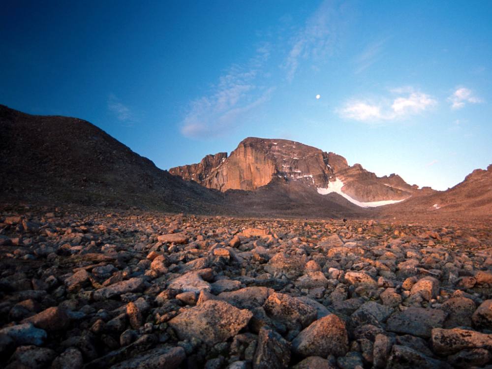
After a set of switchbacks up an easy slope, the trail reaches the Boulder Field, a wide plain of large rocks under the north face of Longs.
8
Boulder Field camp area 12,760' · 5.6 mi
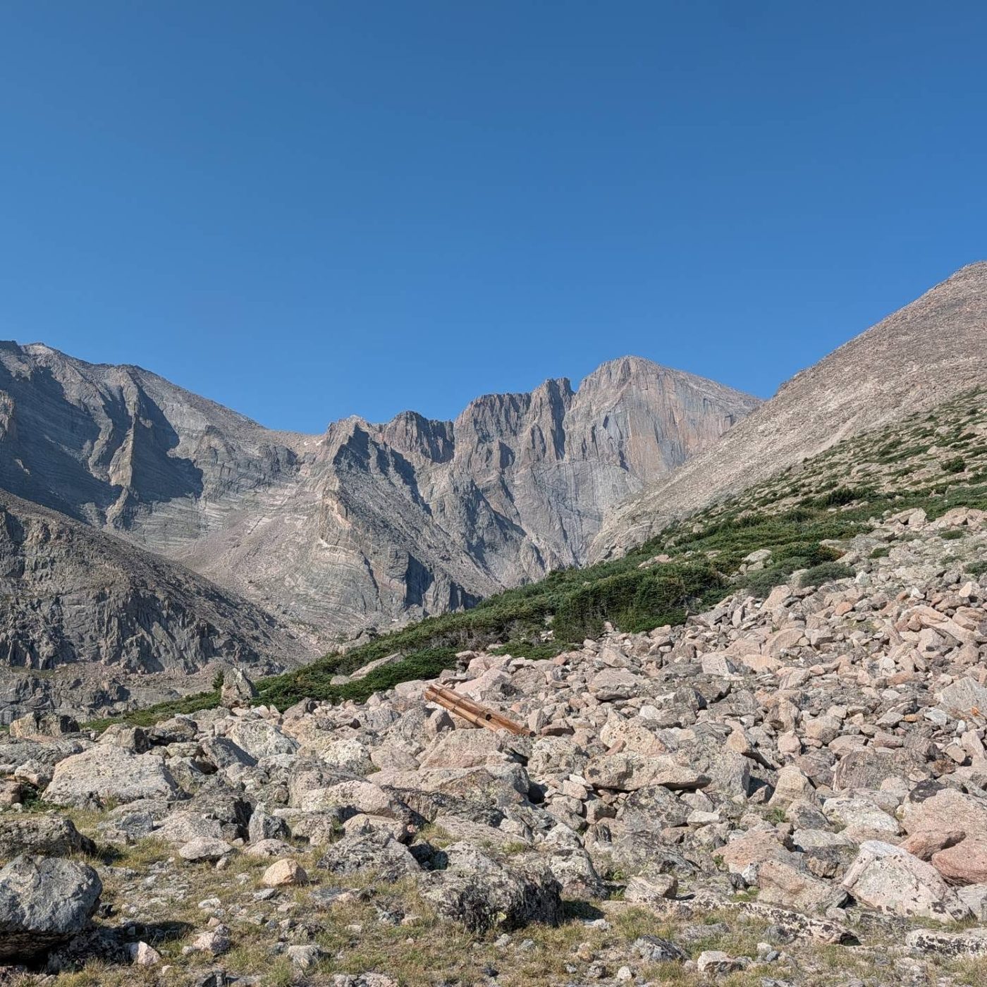
The trail continues south past a toilet and walled tent sites, which are reserved in advance. The Keyhole is the obvious notch in the ridge ahead, between Longs on the left and Storm Peak on the right.
9
The Keyhole 13,150' · 6 mi
The trail fades near 12,800 feet. Hop up through large boulders, following cairns, to the Keyhole. A small stone shelter sits just below it. Step through and the wind often hits you hard. Glacier Gorge drops away below you on the west side.
Watch for: Check the Ledges for ice before you go on. This is the place to turn back.
The Boulder Field below the Keyhole · Photo: Dusty J
10
The Ledges 13,200' · 6.2 mi
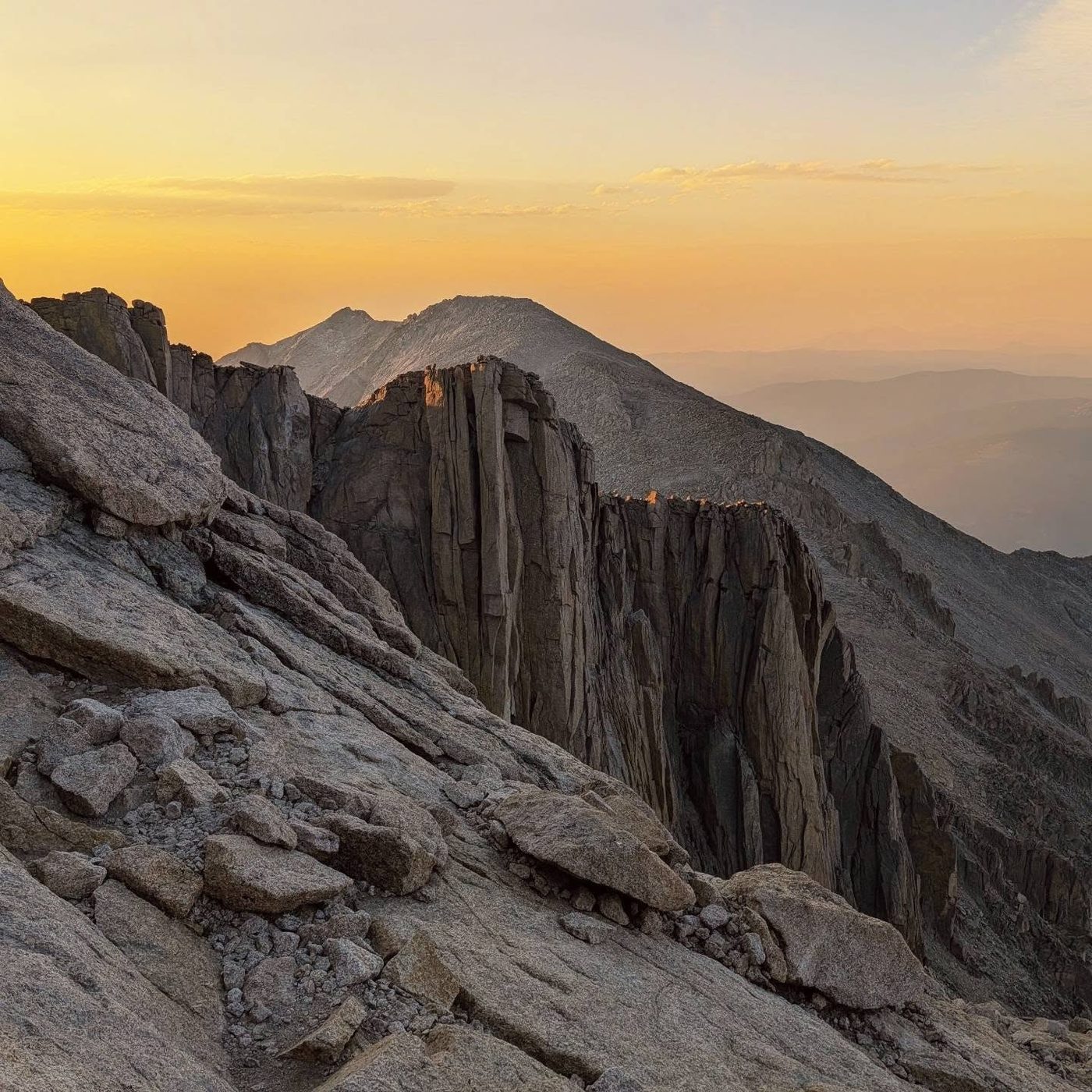
Scramble south along a series of ledges on the west face, following red and yellow bull's-eyes painted on the rock. About a third of the way across, the route climbs about 50 feet and then drops about 100 feet.
Watch for: Big drops below. Watch your feet.
11
Bottom of the Trough 13,300' · 6.4 mi
Turn up into the Trough, a long, wide gully that climbs about 600 feet. Stay near the middle. The bull's-eyes are spaced out and can be hard to spot. Much of the rock is solid, but there is loose rock and scree.
Watch for: Rockfall from people above. Wear a helmet.
12
Top of the Trough 13,850' · 6.8 mi
At the top, a short, steep 30-foot rock step blocks the gully. This is the hardest move of the route. Climb it carefully to a small flat spot on the ridge between Longs and Pagoda Mountain.
Watch for: Crux. Wet or icy rock here is very dangerous.
13
The Narrows 13,900' · 6.9 mi
Walk out onto a narrow ledge on the south side of Longs. A few rocks sit awkwardly on the ledge, and the drop below is large. Move slowly and keep three points of contact where it is tight.
Watch for: Very exposed. Do not rush.
14
The Homestretch 13,950' · 7.05 mi
Beyond the Narrows, scramble a bit more until you see the final slope: about 300 feet of steep, smooth slabs split by cracks. Climb up the cracks with hands and feet. It is fine when dry and very slick when wet.
Watch for: Slabs are slippery when wet or icy.
15
Summit 14,259' · 7.25 mi
A large, flat summit covered in boulders, about the size of a football field. You can see across the whole park, the Continental Divide, and far out onto the plains.
Along the route
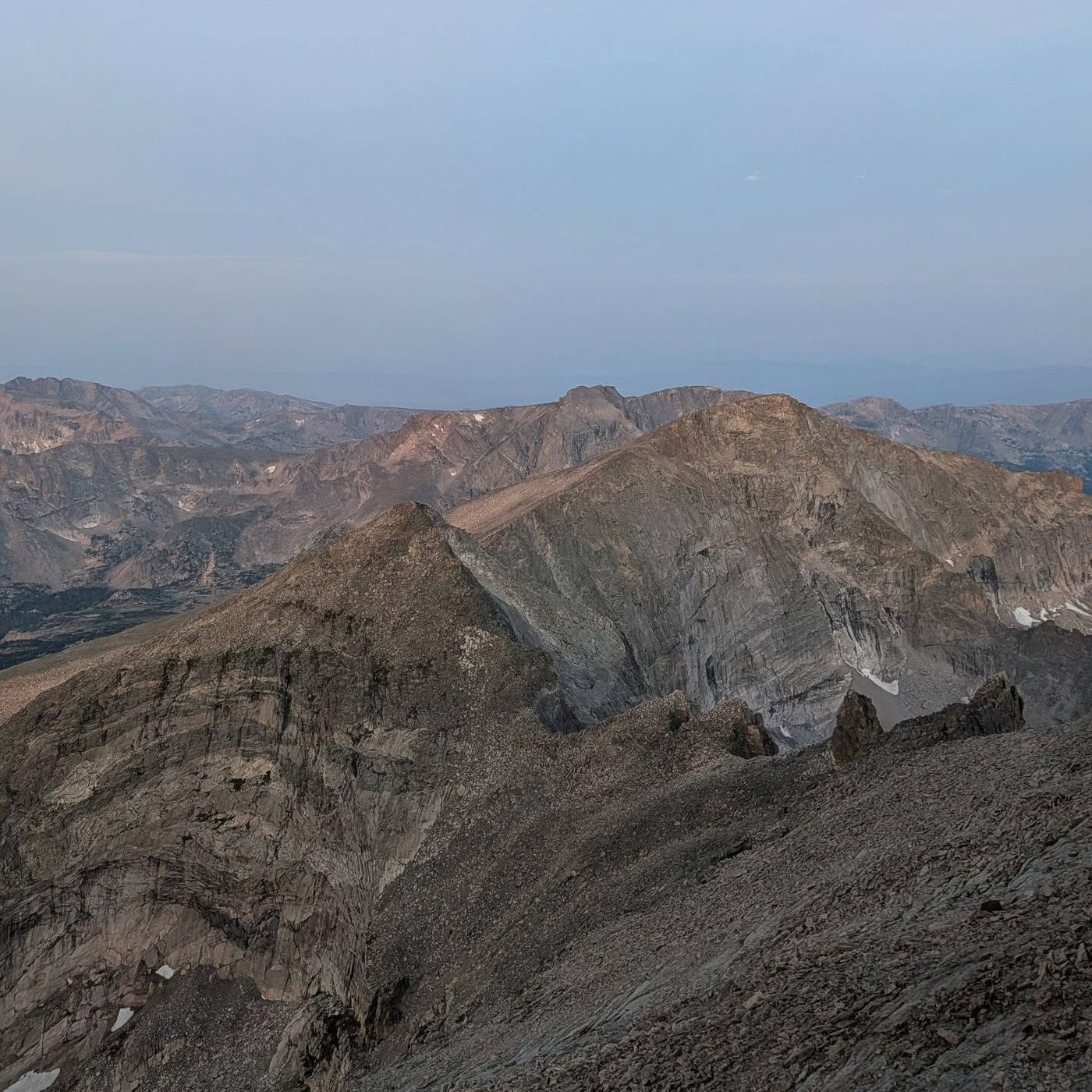
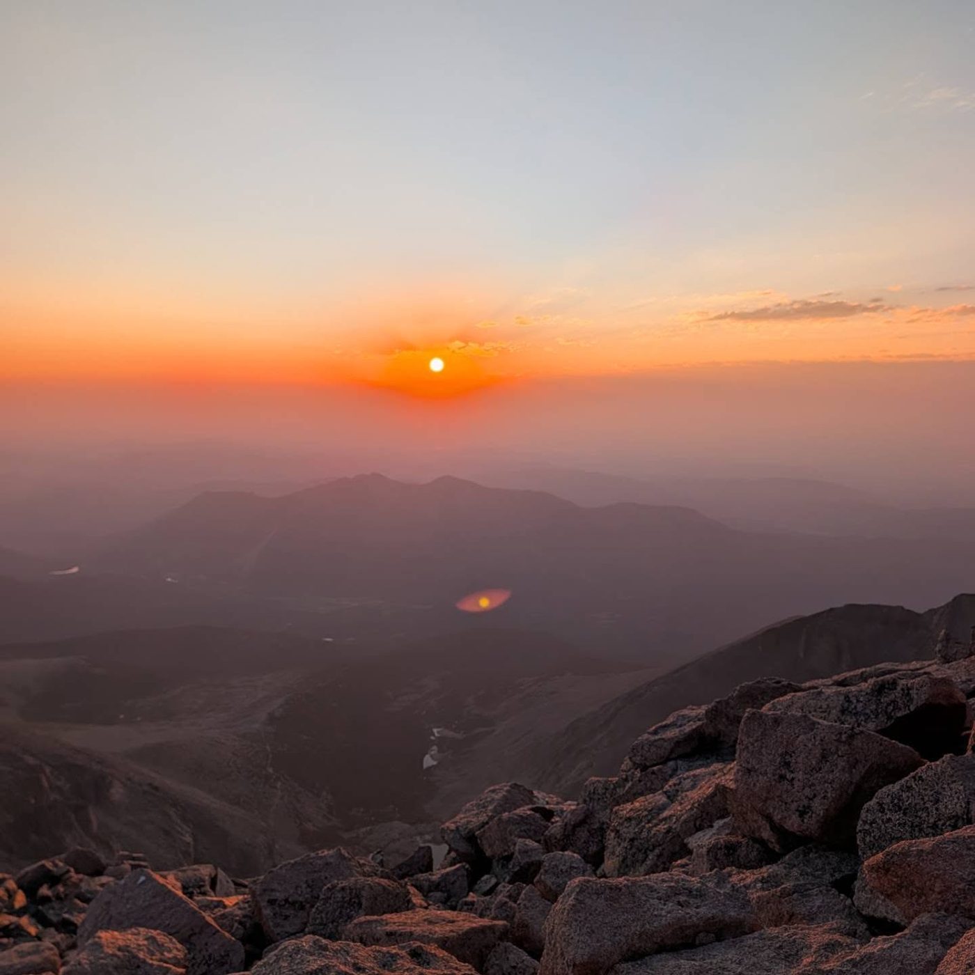
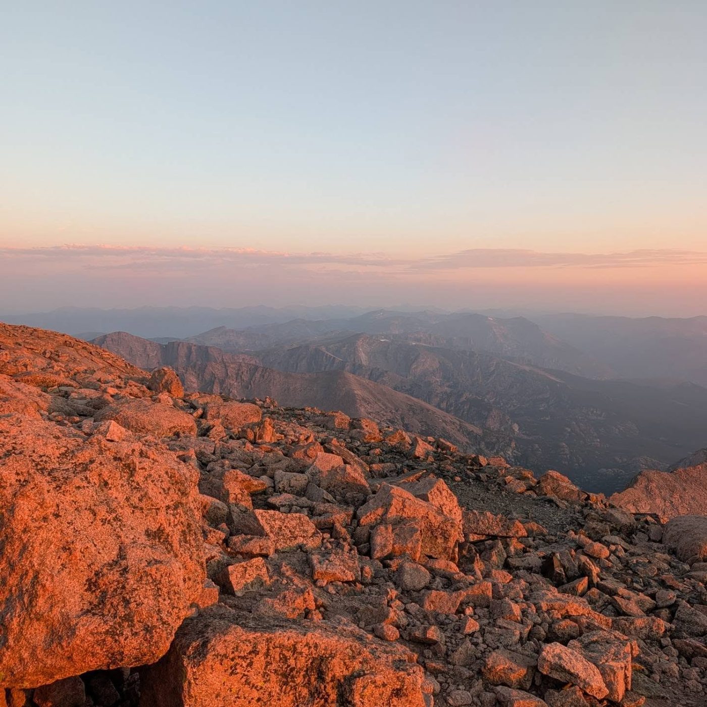
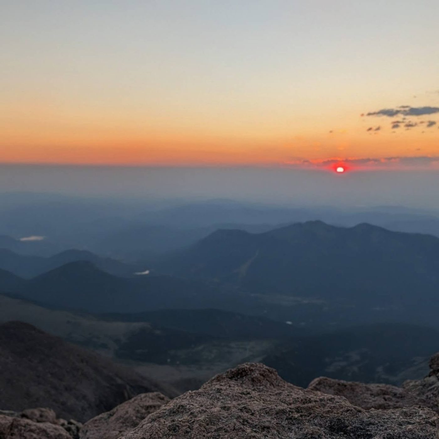
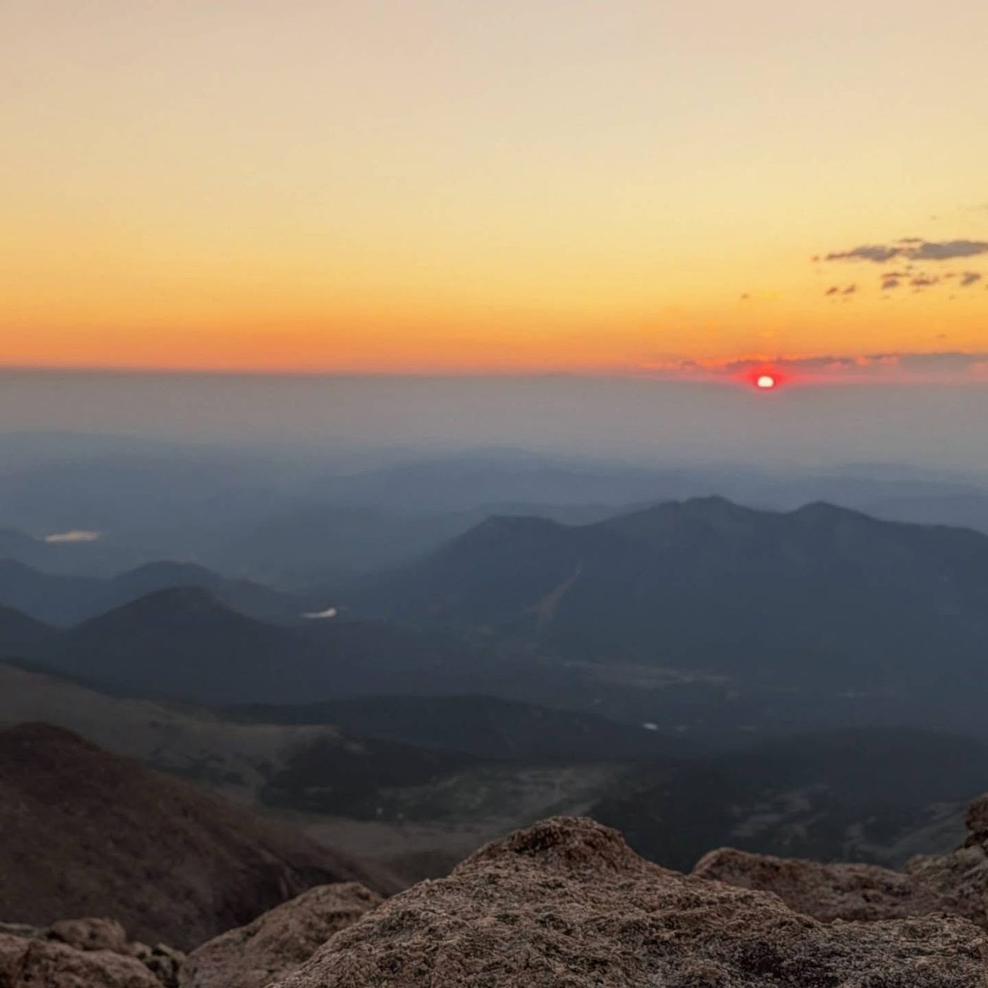
Our photo from the routeOur photo from the routeOur photo from the route
Here Eugena Mine Trail goes off to the right. Keep left to follow East Longs Peak Trail.
Coming down: Keep going straight on East Longs Peak Trail. Don’t take Eugena Mine Trail.
2Mile 2.7 · 11,140'
Turn left to stay on East Longs Peak Trail
Here an unmarked path goes off to the right. Turn left to follow East Longs Peak Trail.
Coming down: Turn right to stay on East Longs Peak Trail. Don’t take the unmarked path.
3Mile 3.5 · 11,670'
Turn right to stay on East Longs Peak Trail
Here Chasm Lake Trail goes off straight ahead. Turn right to follow East Longs Peak Trail.
Coming down: Turn left to stay on East Longs Peak Trail. Don’t take Chasm Lake Trail.
4Mile 4.4 · 12,170'
Stay on East Longs Peak Trail
Here Jim's Grove Trail goes off to the right. Keep going straight on East Longs Peak Trail.
Coming down: Keep going straight on East Longs Peak Trail. Don’t take Jim's Grove Trail.
5Mile 4.6 · 12,260'
Stay on East Longs Peak Trail
Here North Longs Peak Trail goes off to the right. Keep going straight on East Longs Peak Trail.
Coming down: Keep going straight on East Longs Peak Trail. Don’t take North Longs Peak Trail.
Landmarks to know
Alpine Brook log bridge in the forest.
Tree line on Mills Moraine with the Diamond in view.
Chasm Lake junction at about 11,550 feet: go right.
Granite Pass: stay left.
Boulder Field with tent walls and toilets, and the Keyhole notch above it.
Stone shelter just below the Keyhole.
Painted red and yellow bull's-eyes across the Ledges, up the Trough, across the Narrows and up the Homestretch.
Getting down
Reverse the route. The descent is where most accidents happen. Go down the Homestretch slowly, facing in on the steep parts or sliding on your seat; it is easy to drift too far down the slabs. After the Narrows, be sure to drop into the correct gully. At the bottom of the Trough, do not keep going down the gully. Look for the bull's-eyes that head back north (right) onto the Ledges. People who miss this turn can end up on steep cliffs above Glacier Gorge.
Across the Ledges, the route climbs up about 100 feet partway back, which feels wrong but is correct. Stay on the marked line to the Keyhole. Once through it, follow cairns down to the Boulder Field and the trail. The long trail back is easy, but tired hikers still turn ankles in the boulders and on the rocky moraine.
If things go wrong
The Keyhole is the last good place to turn back. Past it, the only way off is back the way you came; there is no shortcut down the west side. If weather turns while you are on the scramble, stay calm and move steadily back toward the Keyhole, but never rush the exposed parts. The small stone shelter at the Keyhole gives some cover from wind, not from lightning; keep going down to the Boulder Field and below. If someone is hurt, keep them warm and still, mark your spot, and send a strong person for help. Rescues on Longs take many hours. Call 911 if you can get a signal; park rangers handle rescues.
3D flyover
Press play to fly the Keyhole Route. The graph shows elevation along the way and how much you gain each mile. Open full screen.
For planning only. The line is traced from open map data, not walked in the field, and off-trail parts are drawn straight. Load it in your GPS app to see the route, but navigate with your eyes, a map and the route description.
See the trail on video
A climb of this route filmed by The Virtual sherpa. The video belongs to them and only plays when you press play.
Jump to
Other routes
All 13 routes up Longs Peak, with the class and round-trip distance for each.
TypeRouteClassTrailheadRound trip
Standard
Keyhole Route
Class 3
Longs Peak Ranger Station14.5 mi · 5,100'Full route →
Class 3 means sustained scrambling with your hands, on terrain where a fall has real consequence. Build up on easier scrambles first, wear a helmet, go with someone who has led this kind of ground, and remember that downclimbing is harder than going up.