Afternoon storm risk is the line that matters. Everything else is comfort. In summer, plan to be off the ridge before the build-up starts, not as it starts. Forecast for the summit point, adjusted for its elevation · data from Open-Meteo.
Standard route · West Slopes
Overview
Mount Bierstadt is one of the closest 14ers to Denver and one of the most climbed. The route starts high at Guanella Pass, drops across a wide willow flat on boardwalks and bridges, crosses Scott Gomer Creek, and then climbs a long, steady trail up Bierstadt's west slopes. The only rough part is the last 250 feet, where you hop across boulders to the summit.
The round trip is about 7.25 miles with 2,850 feet of gain. Most hikers take 5 to 7 hours. It is a common first 14er, and on a clear summer weekend you will share the trail with hundreds of people.
Do not let the crowds fool you. The whole route is above treeline with nowhere to hide from lightning, and storms often roll in by late morning. The trail back to the car also finishes uphill from the creek, which catches tired hikers off guard. Every year people get caught out on this mountain in bad weather.
Plan of the day
Start by
By 6 a.m., earlier on weekends when the lots fill before dawn. You are fully exposed from the moment you leave the car.
Turnaround
If you are not at the ridge crest near 13,750 feet by 11 a.m., or if you see building clouds or hear thunder at any point, turn back.
Crux
The last 250 feet above the ridge crest: no trail, just boulder hopping on or just left of the ridge.
Route-finding
Very easy: a wide, well-built trail with heavy traffic. The only spot that takes thought is the final boulder field, and in fog or snow the willow flat can be confusing if you leave the boardwalk.
Water
Scott Gomer Creek near the start. Nothing on the mountain itself. Carry 2 liters or more and filter creek water.
Paved, easily accessible mountain pass highway parking lot equipped with vault toilets.
Terrain
Engineered wooden boardwalks shifting into wide, grassy alpine tundra and finishing on blocky granite.
You immediately step onto a raised boardwalk that snakes directly through wet, muddy willow bogs. After crossing a sturdy bridge over Scott Gomer Creek, the trail locks into a steady, unhurried climb up the broad western slopes. The path remains smooth and easy underfoot until the final 500 vertical feet. There, the dirt completely vanishes into a massive, jumbled ridge of blocky granite boulders, forcing you to stash your trekking poles for a fun, hands-on Class 2 boulder-hop to the broad summit.
From I-70, take the Georgetown exit and follow signs through town for the Guanella Pass Scenic Byway. Drive about 12 miles up the paved road to the top of the pass. From the south, take U.S. 285 to Grant and turn north on the byway for about 13 miles.
There are two large paved lots at the pass. The Bierstadt trail starts on the east side of the road; the lot on the west side has restrooms. Both fill very early on summer weekends. Parking along the road near the pass is restricted, so obey the posted signs. In winter the road is closed about 1.5 miles below the pass, which adds about 3 miles round trip on foot.
TundraRidgeScramblingExposed to lightning
The line is elevation, the band underneath is the ground, and the numbered dots match the steps below. Mileage and elevations are approximate.
1
Guanella Pass 11,669' · 0 mi
Find the signed Bierstadt trail at the east lot. From here you can see the whole route: a broad willow flat, then the long west slopes rising to the summit. The Sawtooth ridge is to the left.
2
Willow boardwalks 11,600' · 0.4 mi
The trail drops gently east into dense willows on wooden walkways and bridges. Stay on them; the ground around is wet and fragile.
Watch for: Boardwalks and bridges can be icy early and late in the day.
3
Scott Gomer Creek 11,500' · 0.9 mi
Reach the creek at the low point of the day. Cross it and keep going through more willows.
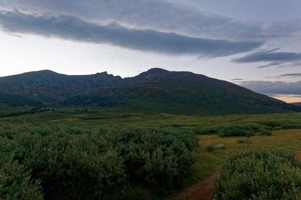
The trail through the willows below the peak · Photo: KimonBerlin
4
Upper willows 11,800' · 1.3 mi
The trail switchbacks up a steep slope and climbs out of the willows. Now the climbing starts in earnest.
5
Shoulder 12,300' · 1.7 mi
Reach flatter ground on the north end of a broad shoulder. The rest of the route is in view. Head southeast up the shoulder on a clear, wide trail.
6
Overlook 12,600' · 2.1 mi
Pass a viewpoint with a look back at Guanella Pass and across to the Front Range peaks. The trail keeps climbing at a steady grade.
7
Steeper slopes 13,000' · 2.5 mi
Around 13,000 feet the slope steepens. The trail zigzags up through grass and rock.
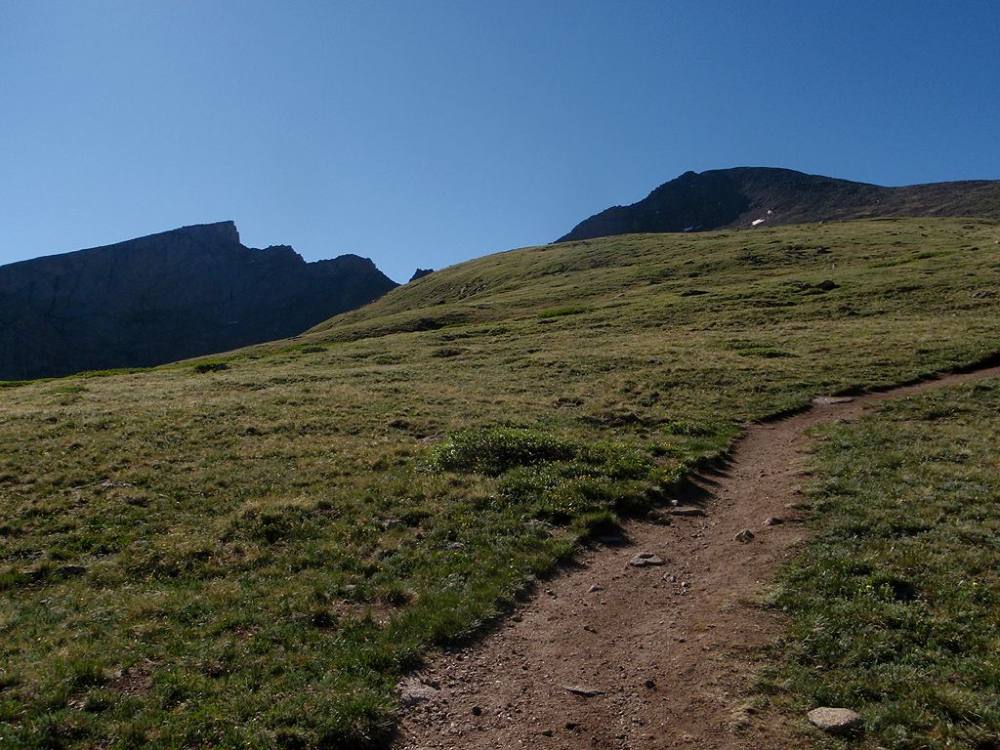
The trail up Bierstadt's west slopes · Photo: Greg Younger
8
Upper switchbacks 13,400' · 2.9 mi
Keep following the well-used trail as it switchbacks higher. The Sawtooth and Mount Blue Sky are now clear to the north.
9
Ridge crest 13,750' · 3.25 mi
Top out on the ridge crest. Turn and walk northeast along it toward the summit block. The summit may not be visible yet.
10
Base of final pitch 13,800' · 3.35 mi
The trail runs out at a field of large boulders. About 250 feet of climbing remains.
11
Boulder field 14,000' · 3.5 mi
Pick your way through the boulders on or just left of the ridge crest. Use your hands for balance. Watch for other hikers above and below you.
Watch for: Some boulders rock. Step carefully and watch for ankle-twisting gaps.
12
Summit 14,066' · 3.6 mi
The terrain eases and you walk a short way to the summit. The Sawtooth ridge leads north to Mount Blue Sky.
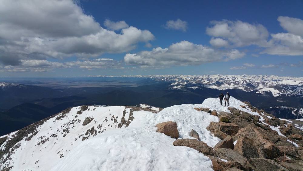
The summit ridge of Bierstadt · Photo: JimTiffinJr
Along the route
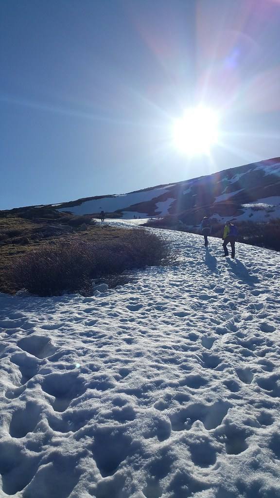
The trail under early season snow · Photo: JimTiffinJr
Landmarks to know
Signed trailhead on the east side of Guanella Pass
Wooden walkways across the willow flat
Scott Gomer Creek at the low point
The broad shoulder near 12,300 feet with the full route in view
Viewpoint near 12,600 feet
Ridge crest near 13,750 feet with the boulder field ahead
Getting down
Go back the way you came. The only place people commonly go wrong is at the top: in the boulders, make sure you return to the ridge crest and the start of the trail before heading down. Some people drift south along the ridge toward the Sawtooth or wander onto the steep east side; the trail is to the west.
The trail down the west slopes is easy to follow. At the bottom, cross Scott Gomer Creek and remember you still have a gentle climb of about 170 feet back to the pass through the willows. Stay on the boardwalks, and in fog or low light make sure you are on the main path.
If things go wrong
Bailing on Bierstadt is easy because the trail is the fastest way off. If a storm builds, turn around right away and head down the trail. Get below the ridge and off high points; there is no shelter on this mountain, but getting lower reduces the risk. Do not try to wait out a storm on the summit. If someone is hurt, keep them warm, note your location, and call 911 if you have signal. Other hikers are almost always close by and can help.
3D flyover
Press play to fly the West Slopes. The graph shows elevation along the way and how much you gain each mile. Open full screen.
For planning only. The line is traced from open map data, not walked in the field, and off-trail parts are drawn straight. Load it in your GPS app to see the route, but navigate with your eyes, a map and the route description.
See the trail on video
A climb of this route filmed by Craig Runs Ultras. The video belongs to them and only plays when you press play.
Jump to
Other routes
All 5 routes up Mount Bierstadt, with the class and round-trip distance for each.
Expect talus, scree and stretches where the trail disappears. Ankles and weather cause most of the trouble here. Start early, keep an eye on the sky, and set a turnaround time before you leave the car.