Afternoon storm risk is the line that matters. Everything else is comfort. In summer, plan to be off the ridge before the build-up starts, not as it starts. Forecast for the summit point, adjusted for its elevation · data from Open-Meteo.
Standard route · East Ridge
Overview
Quandary Peak is one of the easiest and most popular 14ers in Colorado. A clear trail climbs through forest onto the long east ridge and follows it all the way to the summit. It is 6.75 miles round trip with about 3,450 feet of climbing. Most people take 5 to 8 hours.
The route is Class 1, but it is still a real mountain. You spend about two miles above treeline on an open ridge with nowhere to hide from lightning or wind. The last 1,000 feet are steep and rocky and feel much harder than the lower trail. Many first-timers get caught by storms or by how slow that last stretch is.
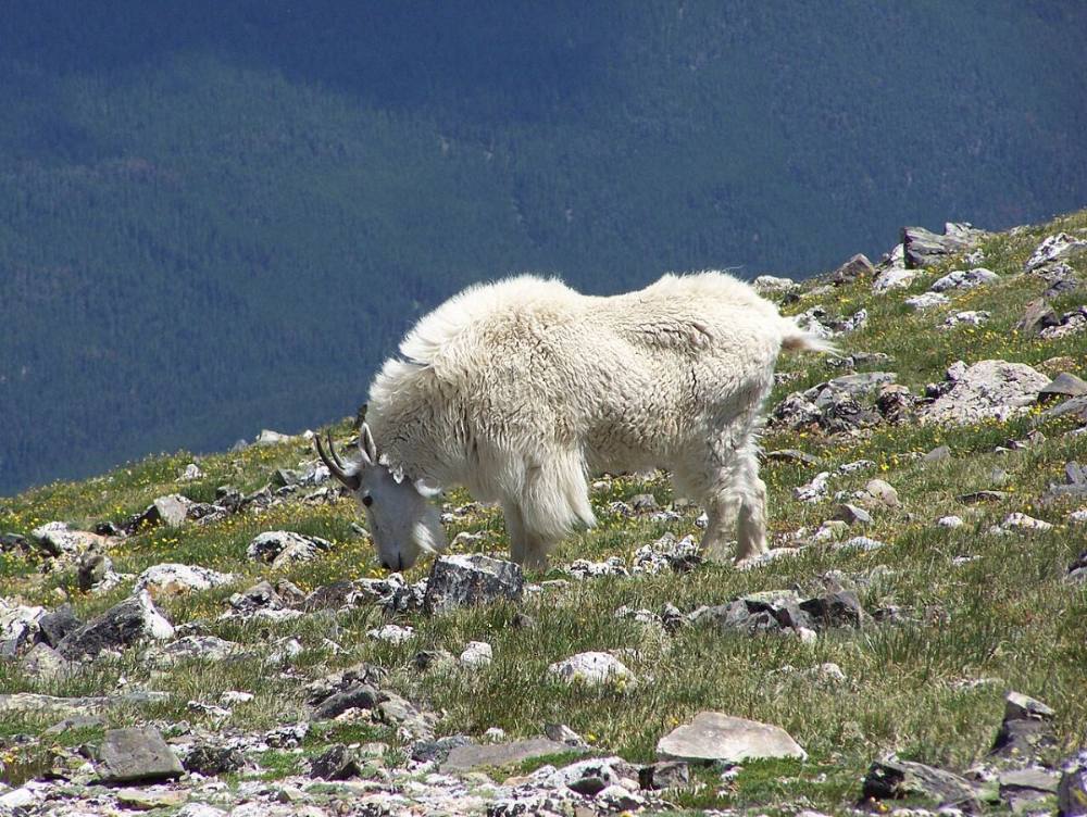
This is a good choice for a first 14er if you are fit, start early, and are willing to turn around. Expect crowds on summer weekends and mountain goats near the top.
Plan of the day
Start by
By 5:30 a.m. The ridge is exposed for about two miles, and summer storms often build by late morning.
Turnaround
If you are not at the 13,150-foot point on the ridge (where the flat stretch begins) by 10:30 a.m., turn around. Turn back at once at the first thunder.
Crux
The final 1,000 feet above 13,200 feet. It is steep, rocky, and slow at altitude, with loose gravel on the trail.
Route-finding
Very easy. The trail is well built and well marked. In fog or snow, stay on the ridge crest and the main trail; side paths lead onto loose slopes.
Water
There is no reliable water on the route. Carry all you need, about 2 to 3 liters, from the trailhead.
From Breckenridge, drive about 8 miles south on Colorado 9. Turn right (west) onto Blue Lakes Road (County Road 850). The trailhead parking is on the right, just off the highway. The roads are paved and any car can make it.
In summer, parking at the trailhead requires a reservation and spots are limited. The other option is the Breckenridge shuttle, which stops at the trailhead. Rules and dates change each year, so check before you go. Do not park along the highway or on the side roads.
Trail in the treesTalus and screeRidgeTundraExposed to lightning
The line is elevation, the band underneath is the ground, and the numbered dots match the steps below. Mileage and elevations are approximate.
1
Quandary trailhead 10,850' · 0 mi
Start at the kiosk at the parking area. A short path leads to the McCullough Gulch road (County Road 851).
2
Turn onto Quandary trail 10,900' · 0.3 mi
Turn right and walk up the road for about a quarter mile. Watch for the signed Quandary Peak trail on the left. Leave the road here.
Watch for: In the dark it is easy to keep walking up the road. Look for the sign on the left.
3
Large boulder 11,000' · 0.5 mi
The trail climbs into the forest and passes a big boulder. Soon after, it turns right and climbs steadily on a well-built path with rock steps.
4
Forest clearings 11,300' · 0.9 mi
Above 11,300 feet you walk through open clearings. The trees get smaller and thinner as you climb a hill.
5
East ridge crest 11,600' · 1.1 mi
Reach the crest of the east ridge. The trees fall away and you can see the long ridge rising to the west. The summit is the high point at the far end, not the bumps in front of you.
6
Base of the slope 11,700' · 1.3 mi
Walk another two-tenths of a mile to the base of a steeper slope. The trail does not go straight up. It veers to the left (south) side of the ridge.
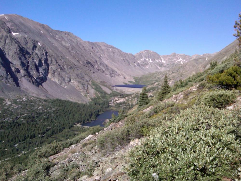
Looking back down from the trail near treeline · Photo: supercraigtalbert
7
South-side traverse 12,300' · 1.75 mi
The trail climbs at an easy angle across the south side of the ridge. It is rocky but well defined, with some rock steps. Stay on it; cutting switchbacks damages the tundra and loosens rock.
8
Rejoin the ridge 12,800' · 2.1 mi
Near 12,800 feet the trail comes back onto the ridge crest. Follow it west. The views open up on both sides.
Watch for: From here to the summit you are fully exposed to weather.
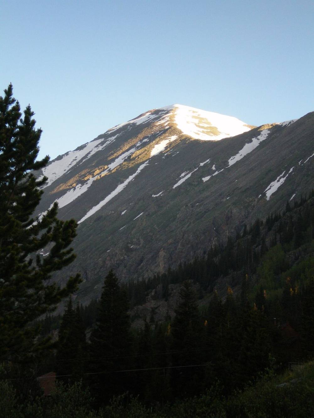
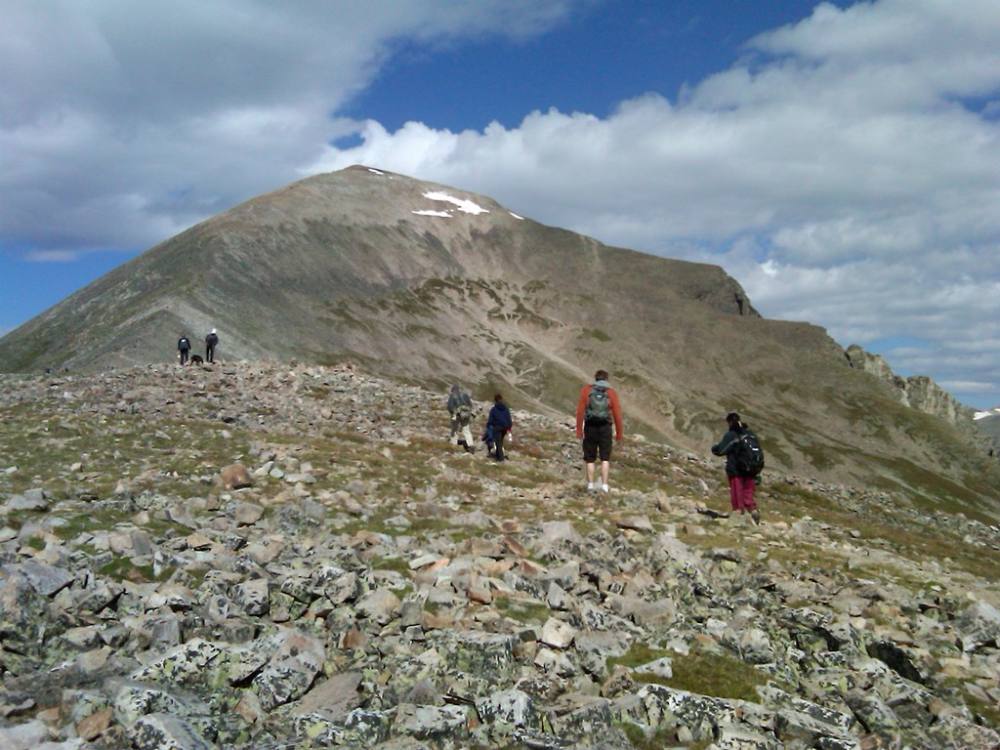
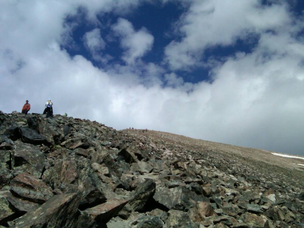
The east ridge rising toward the summit · Photo: Stargazer7121Hikers working up the east ridge · Photo: supercraigtalbert
9
13,150-foot point 13,150' · 2.4 mi
Reach a small high point on the ridge at about 13,150 feet. Ahead is a flat stretch, then the steep upper ridge. This is the best place to judge the weather and your energy.
Watch for: Turnaround check point. If storms are building or you are already very tired, head down from here.
10
Flat section 13,200' · 2.55 mi
Walk the level part of the ridge. You can look up at the steep upper east slope. Goats often wander here.
Watch for: Do not feed or approach the goats.
11
Final 1,000 feet 13,700' · 3 mi
The trail climbs steeply up the ridge over broken rock. It is well worn but has loose gravel on top of the rock. Pace yourself; this part is slow for most people.
Watch for: Loose gravel can make you slip, and rocks can roll onto people below you.
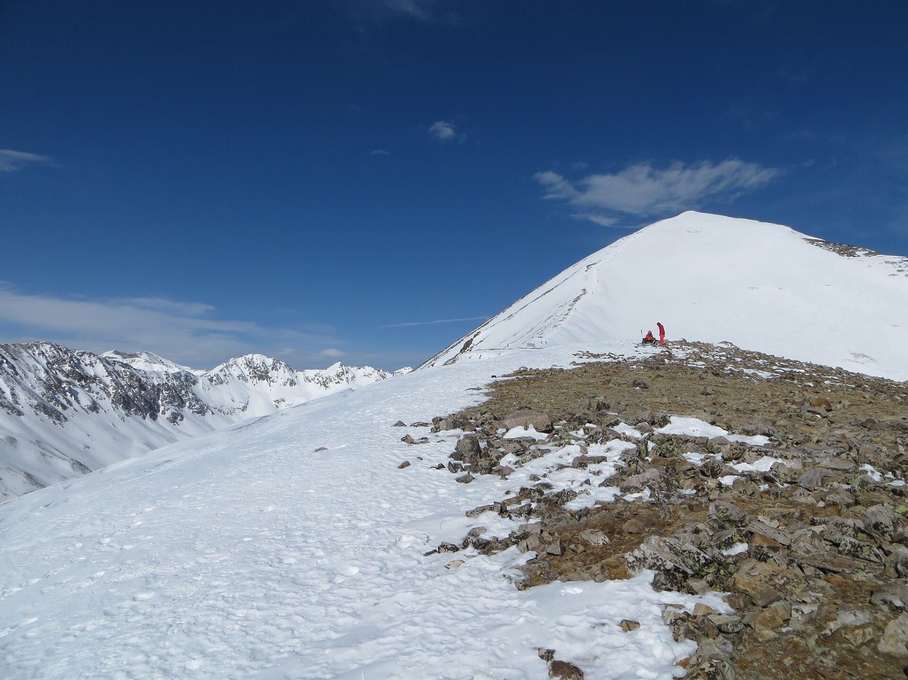
Mountain goats are common on the upper ridge · Photo: Mark TyraThe rocky upper ridge below the summit · Photo: supercraigtalbert
12
Summit ridge 14,150' · 3.3 mi
The slope eases as you reach the long summit ridge. Walk west along the broad top.
13
Summit 14,272' · 3.4 mi
The high point is at the west end of a long, rocky summit area. You can see the Tenmile Range, Breckenridge, and the Mosquito Range peaks to the south.
Landmarks to know
McCullough Gulch road and the signed trail turnoff on the left.
A large boulder beside the trail in the forest.
Clearings where the trees thin out near 11,300 feet.
The open east ridge crest at treeline, with the long ridge ahead.
The trail traversing the south (left) side of the ridge.
The 13,150-foot point before the flat stretch.
The steep, rocky final 1,000 feet to the summit ridge.
Getting down
Go down the same way. The steep upper ridge is where most slips happen. Loose gravel on rock is slick, so take short steps and use poles if you have them. Stay on the main trail; the side paths are looser.
In fog or snow, keep to the ridge crest heading east. Do not drop off the south side of the upper ridge into the bowl, and do not head north. Lower down, watch for the point where the trail leaves the ridge and enters the trees. At the bottom, turn right onto the road and then left to the parking area.
If things go wrong
The whole route is on one ridge, so the only safe way off is back down the trail. If weather turns, head down right away and get below treeline, which is at about 11,600 feet. Do not try to shortcut down the slopes on either side; they are steep and loose and in winter can slide. If someone is hurt, keep them warm, stay on the trail where other hikers pass, and call 911. On a busy day there are usually other people near you who can help or go for help.
3D flyover
Press play to fly the East Ridge. The graph shows elevation along the way and how much you gain each mile. Open full screen.
For planning only. The line is traced from open map data, not walked in the field, and off-trail parts are drawn straight. Load it in your GPS app to see the route, but navigate with your eyes, a map and the route description.
See the trail on video
A climb of this route filmed by Stacey Hollen. The video belongs to them and only plays when you press play.
Jump to
Other routes
All 4 routes up Quandary Peak, with the class and round-trip distance for each.
A Class 1 rating means a trail, not a stroll. Altitude, distance and weather still decide how this goes. Afternoon thunderstorms build fast above treeline in summer, so plan to be heading down by noon, and carry more water than you think you need.