Afternoon storm risk is the line that matters. Everything else is comfort. In summer, plan to be off the ridge before the build-up starts, not as it starts. Forecast for the summit point, adjusted for its elevation · data from Open-Meteo.
Alternate route · Southwest Slopes
Overview
This route reaches Mount Belford from the south by way of Missouri Gulch and Elkhead Pass. It shares the good Missouri Gulch trail for most of the way, then leaves the pass on a quieter trail that climbs to the ridge just south of the summit. It is Class 2 and has a trail nearly the whole way.
Compared with the standard northwest shoulder, this line is longer but less steep. It is a good choice if you want a gentler grade or plan to visit Elkhead Pass. It is also a common way to link Belford with nearby peaks.
The round trip is about 11 miles with about 4,500 feet of gain. Most people take 8 to 11 hours.
Plan of the day
Start by
By 5 a.m. You spend several hours above treeline in the upper gulch and on the ridge.
Turnaround
If you are not at Elkhead Pass by about 10 a.m., or storms are building, turn back. The summit is still more than a mile away.
Crux
The steady climb from Elkhead Pass up to the ridge near 14,100 feet on a less-used trail.
Route-finding
Easy. Stay right at the Mount Belford junction, left at the Missouri Mountain junction, then turn left at Elkhead Pass onto the fainter trail.
Water
Missouri Gulch creek runs beside the trail low down. Filter it. Carry 3 liters for the upper route.
Chaffee County Road 390 leaves U.S. 24 about 20 miles south of Leadville, where you make a right. Coming from Buena Vista instead, go left onto it after heading north on U.S. 24 for about 14.5 miles.
Follow Road 390 for about 7.5 miles to the Missouri Gulch trailhead sign. Turn left into the large parking area, which has restrooms. The dirt road is fine for most cars.
Trail in the treesTundraRidgeExposed to lightning
The line is elevation, the band underneath is the ground, and the numbered dots match the steps below. Mileage and elevations are approximate.
1
Missouri Gulch trailhead 9,660' · 0 mi
Start on the Missouri Gulch trail and cross Clear Creek on a bridge.
2
Forest switchbacks 10,400' · 1 mi
Climb a long series of switchbacks through steep forest. Near 10,400 feet the switchbacks end and the trail heads south beside the creek.
3
Log bridge over the creek 10,800' · 1.4 mi
At about 10,800 feet the trail turns left and crosses the creek on a log bridge. Continue through brush and then an avalanche clearing.
Watch for: The log can be slick when wet.
4
Old cabin ruins 11,200' · 1.8 mi
Pass the remains of an old cabin. Soon the trees end and you enter the open gulch.
5
Mount Belford trail junction 11,600' · 2.4 mi
Stay right. The left branch is the standard route up Belford. Continue south up the gulch.
6
Missouri Mountain junction 12,600' · 3.9 mi
After about a mile and a half, reach the Missouri Mountain trail. Stay left toward Elkhead Pass.
7
Elkhead Pass 13,200' · 4.6 mi
Reach the pass. Turn left onto a fainter trail heading east. The summit is still more than a mile away.
8
Trail swings north 13,500' · 5 mi
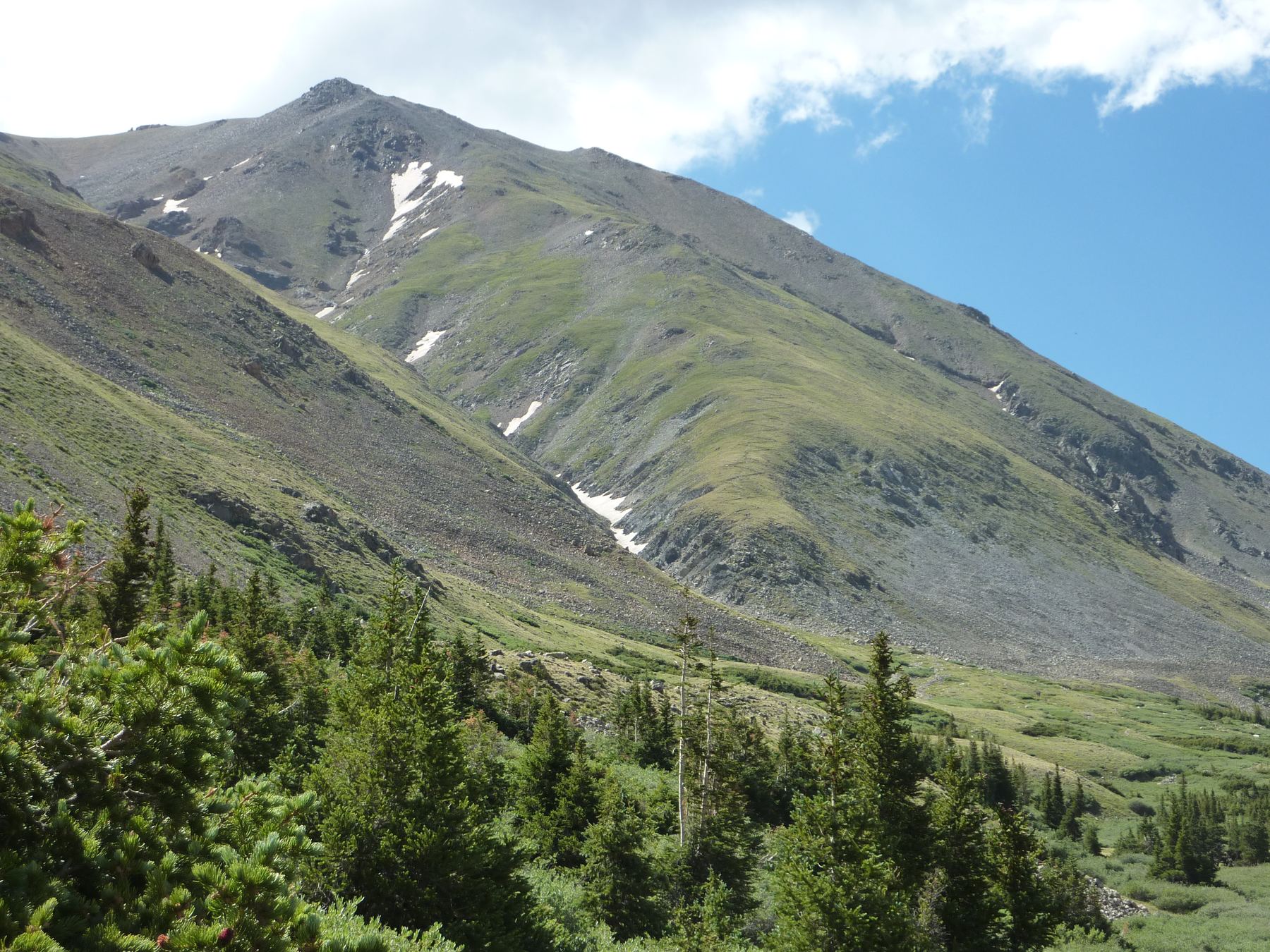
After about a third of a mile the trail curves left and climbs toward the ridge south of the summit.
9
Ridge crest at 14,100 feet 14,100' · 5.3 mi
You join the main Belford-Oxford trail here. Go left on it.
10
Summit of Mount Belford 14,202' · 5.5 mi
Walk a short way north to the top. Views include Oxford, Missouri and the other Sawatch peaks.
Getting down
Most people go back the way they came, via Elkhead Pass and the gulch. You can also go down Belford's standard northwest shoulder to the Mount Belford junction. That way is shorter but much steeper and harder on the knees. Either way, rejoin the main Missouri Gulch trail and follow it back to the car.
If things go wrong
From anywhere in the upper gulch the fastest escape is back down the Missouri Gulch trail to treeline near 11,500 feet. If a storm hits near the summit, the standard northwest shoulder is a quicker way down to the gulch. Get off the ridge fast. For injuries or altitude illness, go down, keep the person warm and call 911 if you have signal.
Other routes
Every way up Mount Belford we list, with its class.
This describes the route in its usual season. Distances and elevations are close estimates for planning. Snow, ice, rockfall, a washed-out road or an afternoon storm can make it a very different climb. Check recent conditions the week you go and turn around when the day tells you to.