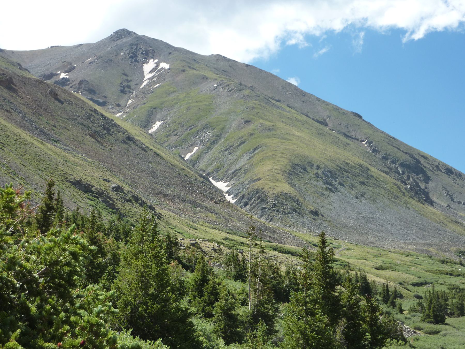
Mount Belford, 14,202' · also on Mount Oxford, Missouri Mountain
DifficultyClass 2
Round trip15 mi
Elevation gain7,600'
TrailheadMissouri Gulch
Trailhead elevation9,650'
Conditions on the summit
LoadingFetching the forecast for 14,202'…
—Summit temp now
—Sustained wind
—Gusting to
—Freezing level
Today
—
Tomorrow
—
Day three
—
Afternoon storm risk is the line that matters. Everything else is comfort. In summer, plan to be off the ridge before the build-up starts, not as it starts. Forecast for the summit point, adjusted for its elevation · data from Open-Meteo.
Combo route · Belford, Oxford and Missouri
Overview
This link-up climbs three 14ers in one day from the Missouri Gulch trailhead: Mount Belford, then Mount Oxford, then Missouri Mountain. It uses the standard trail up Belford's northwest ridge, the ridge traverse to Oxford, a return to Belford's upper slopes, a trail down to Elk Head Pass, and Missouri's standard route to finish. The whole route is Class 2.
It is a very big day: about 15 miles round trip with roughly 7,600 feet of gain. It suits fit, experienced hikers who move well at altitude and can make good weather calls. Most of the day is spent above tree line.
There is a natural exit before Missouri. At the Missouri trail junction in the gulch, you can skip the third peak and walk out. Plan on 11 to 14 hours car to car for all three.
Plan of the day
Start by
By 3:30 or 4 a.m. You need to be on Belford around 8 a.m. to have time for the whole loop.
Turnaround
Leave Belford for Oxford only if it is before about 8:30 a.m. and the sky is clear. At the Missouri junction in the gulch, only head up Missouri if it is before about 11 a.m. and the weather looks stable.
Crux
The overall length and gain. The hardest single spot is on Missouri's northwest ridge, where the trail drops about 25 feet off the crest to get around rock obstacles on Difficult Class 2 ground.
Route-finding
Moderate. After Oxford, climb back up to about 14,150 feet on Belford's south ridge and look for the cairned junction for the trail down to Elk Head Pass. Do not go back over Belford's summit. Go right into Missouri Gulch once you reach Elk Head Pass.
Water
The Missouri Gulch creek runs beside the lower trail. Filter or treat it. There is no dependable water on the ridges, so carry 4 liters or more, and top off in the gulch before Missouri if you can find running water.
Missouri Gulch is reached from Chaffee County Road 390. Coming from Leadville, go south on U.S. 24 for 20 miles, then right on County Road 390. Coming from Buena Vista, go north on U.S. 24 for 14.5 miles, then left on it.
Follow County Road 390, a dirt road that most cars can handle, for about 7.5 miles until you see the Missouri Gulch trailhead sign. Go left and down into the big parking area, which has restrooms.
TundraTalus and screeRidgeExposed to lightning
The line is elevation, the band underneath is the ground, and the numbered dots match the steps below. Mileage and elevations are approximate.
1
Missouri Gulch trailhead 9,650' · 0 mi
Cross the creek and climb the forest switchbacks into Missouri Gulch on the main trail.
2
Belford trail junction 11,600' · 2.3 mi
Past tree line and an old cabin site, reach the junction for Belford. Turn left and head for the northwest ridge.
3
Belford's northwest ridge 13,000' · 3.2 mi
Climb the long switchbacks up the ridge. The trail is steep and sometimes loose.
Watch for: This is a long, steady climb. Keep a pace you can hold all day.
4
Summit of Mount Belford 14,202' · 4 mi
Reach the first summit. Check the time and the sky before heading to Oxford.
Watch for: If clouds are building now, skip Oxford.
5
Belford and Oxford saddle 13,500' · 4.9 mi
Drop down Belford's east ridge to the saddle between the two peaks.
6
Summit of Mount Oxford 14,158' · 5.5 mi
Follow the ridge up to Oxford's summit.
Watch for: You still have to climb about 650 feet back up toward Belford.
7
Back on Belford's south ridge 14,150' · 7 mi
Return across the saddle and climb back to about 14,150 feet on Belford's south ridge. Go right a short way toward Belford's summit and find the trail junction, usually marked by a cairn.
Watch for: Do not climb back over Belford's summit.
8
Elk Head Pass 13,200' · 7.7 mi
Descend Belford's southwest slopes on the trail, heading for Elk Head Pass. Ahead, Missouri and its east ridge are in view.
Watch for: Do not try Missouri's east ridge. It is rotten, loose rock.
9
Missouri trail junction 12,600' · 8.5 mi
From Elk Head Pass, go right and take the trail north as it drops into Missouri Gulch. Once below 13,000 feet, the Missouri trail is visible across the basin's west side. Descend to the junction near 12,600 feet.
Watch for: Decision point. Missouri adds about 1,600 feet and 3 miles round trip. If you are tired or the weather is turning, keep going down the main trail.
10
Level area below Point 13,784 12,900' · 8.8 mi
Turn left and zigzag west up the slope. The ground levels near 12,900 feet as the trail nears Point 13,784.
11
13,700-foot saddle 13,700' · 9.4 mi
The trail heads northwest onto talus, crosses below Point 13,784 on its south side, and switchbacks up to the saddle between Points 13,930 and 13,784.
12
Missouri's northwest ridge 13,950' · 9.7 mi
Go left on the ridge, skirt Point 13,930 on its west side, and gain the crest. The summit comes into view.
13
Ridge bypass 13,950' · 9.85 mi
About two-thirds of the way along, the trail dips right, losing about 25 feet, to get around rocky spots on the crest. This short stretch is more difficult Class 2.
Watch for: Take care with loose rock here, and be ready to share the narrow path.
14
Summit of Missouri Mountain 14,071' · 10 mi
Follow the trail back up and along the ridge to the third summit.
Getting down
From Missouri, go back along the ridge, down to the 13,700-foot saddle, and down the zigzags to the Missouri trail junction near 12,600 feet. Turn left onto the main Missouri Gulch trail and follow it more than 3.5 miles down the gulch, past the Belford junction and through the forest, to the trailhead.
If things go wrong
Before Oxford, the easy way out is back down Belford's northwest ridge. After Oxford, the trail to Elk Head Pass and down Missouri Gulch is a good way off the high ground. At the Missouri junction you can always skip the last peak and walk out on the main trail. If a storm hits on any ridge, head down to the gulch right away. In an emergency, call 911 if you have signal.
Other routes
Every way up Mount Belford we list, with its class.
This describes the route in its usual season. Distances and elevations are close estimates for planning. Snow, ice, rockfall, a washed-out road or an afternoon storm can make it a very different climb. Check recent conditions the week you go and turn around when the day tells you to.