Overview
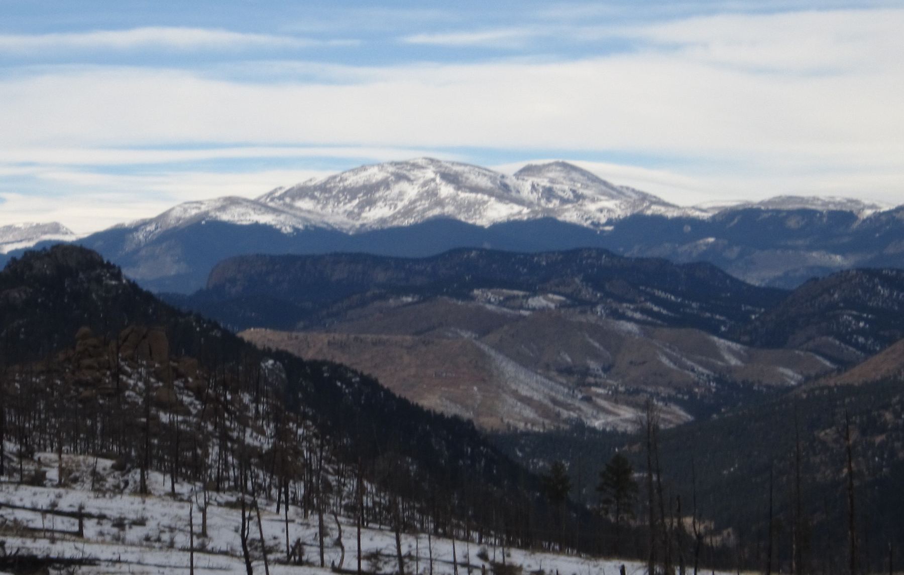
The North Face Moderate route is a short snow climb on Mount Blue Sky, starting from Summit Lake. You climb a bench into a small bowl under the north face, then go up a snowfield to the summit ridge. The round trip is about 2 miles with around 1,500 feet of gain.
This is a snow climb, rated Class 3 with moderate snow. It is also a popular ski line. It suits people who have some snow climbing experience and know how to use an ice axe and crampons. It is a big step up from the easy hikes on Blue Sky, but it is short and a good early season outing.
Plan on 3 to 5 hours. Most people hike down the west ridge over Mount Spalding rather than downclimbing the snow.
Plan of the day
Early, often before sunrise, so the snow is firm. Soft afternoon snow is harder to climb and more likely to slide.
Turn back if the snow is soft and you are sinking deep, if there are signs of avalanche danger, or if you are not near the summit ridge by 10 a.m.
The upper snowfield from about 13,400 feet to the ridge. It narrows near 13,900 feet and you climb straight up to the crest.
Easy in clear weather. The face is in view from the parking area. Pick a line that uses the rocks near the middle of the snow for rest spots.
None on the route. Carry 1 to 2 liters.
Getting to the trailhead
Summit Lake (Mount Blue Sky)
Take Exit 240 off Interstate 70 at Idaho Springs. Take Colorado 103 south for about 13.5 miles, until you reach Echo Lake. A timed reservation is needed to drive the Mount Blue Sky road (Colorado 5), which starts here.
Summit Lake and its parking lot are about 9 miles up the road. Check that the road is open before you go, since it is closed for much of the year.
Base towns and camping for this climb
Coming from out of state? See Lodging & Camping for how free camping works, what is closed this year and where to stay.
Before you go
Check these the week of your climb.
Official forecast
The National Weather Service forecast for the summit area, hour by hour. Look for thunderstorm chances and wind above treeline.
NWS point forecast →Directions to the trailhead
Summit Lake (Mount Blue Sky). Road conditions near the trailhead change after storms. Check your clearance and have a backup plan for a lower lot.
Get directions →Roads and highways
Closures, construction and winter conditions on the highways that get you there.
COtrip road conditions →Closures and fire rules
Trail closures, fire bans and other alerts from the Forest Service in Colorado. For the latest on your trailhead, call the local ranger district.
Forest Service alerts →Snow on the route?
From fall through early summer, any snow slope can slide. Check the avalanche forecast before you go.
Avalanche forecast →Cell signal
Most trailheads and many summits have little or no signal. Check coverage near the trailhead and carry a satellite messenger or beacon if you can.
FCC coverage map →Road and fees
The road to the upper lot is seasonal and needs a timed reservation in summer. Check the road status before you go.
Colorado road conditions →