Afternoon storm risk is the line that matters. Everything else is comfort. In summer, plan to be off the ridge before the build-up starts, not as it starts. Forecast for the summit point, adjusted for its elevation · data from Open-Meteo.
Alternate route · South Ridge
Overview
The South Ridge route climbs Grays Peak from the south, starting at the Argentine Pass trailhead above Peru Creek. You walk an old mining road into Horseshoe Basin, leave the trail below Grays Lake, and climb a steep slope to the south ridge. It is about 6.5 miles round trip with about 3,250 feet of gain.
The route is Class 2. It is quieter than the standard trail from Stevens Gulch, but it has less trail and more loose rock. The steep slope to the ridge and the rocky ridge crest take more care than anything on the standard route. It suits hikers who have some off-trail experience.
Plan on 5 to 7 hours car to car.
Plan of the day
Start by
By 6 a.m. The upper half of the route is open slope and ridge.
Turnaround
If you are not on the ridge crest near 13,800 feet by about 10:30 a.m., or storms are building, turn around.
Crux
The rocky section where you gain the ridge crest near 13,800 feet.
Route-finding
Moderate. Pass the Argentine Pass trail turn-off and stay on the road into Horseshoe Basin. Near 12,400 feet, leave the trail heading for Grays Lake and go west toward the slope. On the slope, stay just right of its left edge.
Water
Streams in Horseshoe Basin along the road. Nothing on the upper slope or ridge. Treat any water you collect.
Follow U.S. 6 to Keystone's west end. From the west, exit at Montezuma Road before U.S. 6 starts climbing toward Loveland Pass. From the Loveland Pass side, turn left into Keystone ski resort's River Run area, then quickly left again to Montezuma Road.
Drive about 4.3 miles on Montezuma Road and turn left onto the dirt 260 road, which has a big parking area at its start. Follow it along Peru Creek about 4.5 miles. The Argentine Pass trailhead is at 11,050 feet, a little below the Shoe Basin Mine. Past the trailhead, a gate blocks the road.
RidgeRoadTundraScramblingExposed to lightning
The line is elevation, the band underneath is the ground, and the numbered dots match the steps below. Mileage and elevations are approximate.
1
Argentine Pass trailhead 11,050' · 0 mi
Walk up the road and through the gate near the mine.
2
Argentine Pass trail sign 11,250' · 0.35 mi
About a third of a mile up, a sign on the right marks the Argentine Pass trail. Do not take it. Stay on the road into Horseshoe Basin.
Watch for: Easy to take the wrong trail here.
3
Road junction 12,080' · 1.9 mi
Keep going up the main road past a junction.
4
End of the road 12,300' · 2.2 mi
At the end of the road, make a sharp left onto a trail heading west.
5
Corner near 12,400 feet 12,400' · 2.4 mi
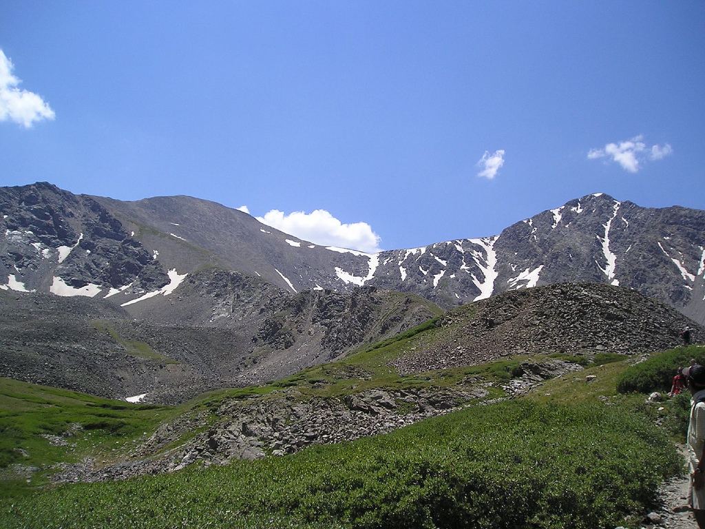
The trail crosses a rocky slope to a bend. The summit comes into view here, along with the slope up to the south ridge.
6
Leave the trail 12,450' · 2.5 mi
The trail turns northwest toward Grays Lake. Leave it and head west toward the base of the slope below the ridge.
7
Flat area 13,100' · 2.8 mi
Reach a flat spot near 13,100 feet. Above it the slope gets steeper. Short bits of trail show up if you keep a little inside the slope's left edge.
Watch for: Loose rock on the steep slope.
8
Ledges near 13,300 feet 13,300' · 3 mi
Keep left of some rock ledges as you climb toward the ridge.
9
Ridge crest 13,800' · 3.15 mi
Climb the rocky section to the crest. This is the hardest part of the route. Turn right and follow the ridge.
10
Grays Peak summit 14,275' · 3.25 mi
Walk north along the ridge to the top. Torreys Peak is close by to the north.
Getting down
Go back the way you came. Follow the ridge south and look for the spot near 13,800 feet where you came up onto the crest. Go down the steep slope, staying near its left edge as you descend, then head east to rejoin the trail near 12,400 feet. Follow the trail and road back through Horseshoe Basin to the trailhead.
If things go wrong
The fastest way off is back down the slope you came up to the trail in Horseshoe Basin. From the summit, the busy standard trail on the north side is easy to follow, but it ends at a different trailhead far from your car, so only use it in an emergency. If a storm moves in, get off the ridge right away. Call 911 if you have signal in an emergency.
This describes the route in its usual season. Distances and elevations are close estimates for planning. Snow, ice, rockfall, a washed-out road or an afternoon storm can make it a very different climb. Check recent conditions the week you go and turn around when the day tells you to.