Overview
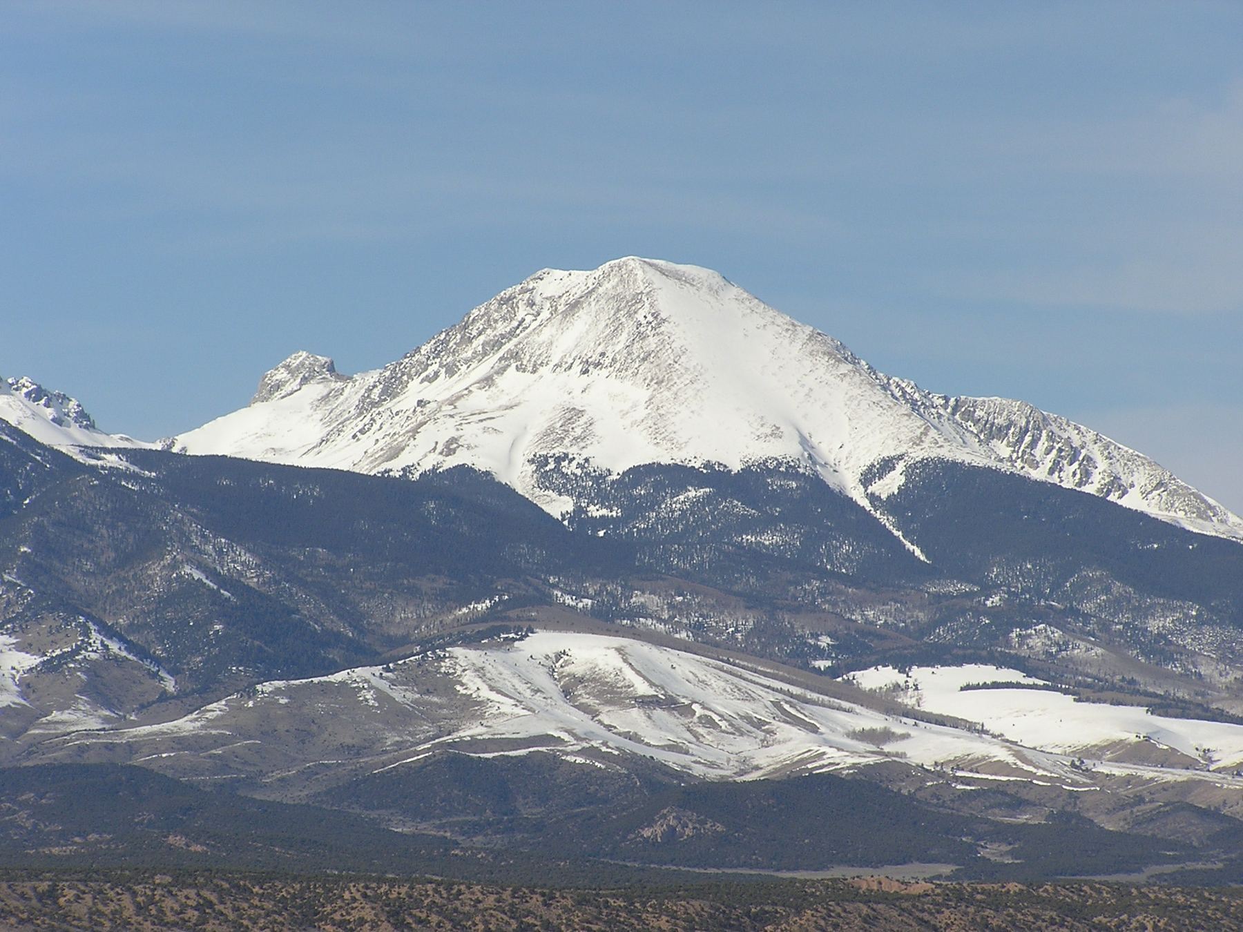
The North Couloir is a snow climb on Mount Lindsey in the Sangre de Cristo Range. It starts like the Northwest Gully route to the saddle with the Iron Nipple, then traverses east below the north face and climbs a couloir straight to the summit. It is Class 2 with moderate snow.
It suits climbers who know how to use an ice axe and crampons and want a snow route on Lindsey. The couloir gets steeper near the top. It is about 8.75 miles round trip with roughly 3,900 feet of gain, a bit more than the standard route because you drop and traverse before the couloir.
Plan on 7 to 10 hours round trip. The upper mountain is on private land, and a signed waiver is required.
Plan of the day
By 3 or 4 a.m. You want firm snow in the couloir, and the approach to the saddle takes a few hours.
If you are not at the saddle by 8 a.m., or the snow is soft when you reach the couloir, turn around.
The final pitch of the couloir above about 13,800 feet, where it steepens.
Moderate. The couloir cannot be seen from the saddle. Drop off the ridge to about 12,800 feet and traverse east for about half a mile below the north face to find it.
The Huerfano River and the stream near 11,400 to 11,600 feet on the approach. Filter or treat it. There is no water in the upper basin besides snowmelt.
Getting to the trailhead
Huerfano (Lily Lake)
From Gardner, northwest of Walsenburg, head west on Colorado 69 for about half a mile, then go west on County Road 550. Set your trip meter to zero; the trailhead is a little over 22 miles away. Pavement ends at 7 miles. Bear left onto Forest Road 580 at 11.8 miles. Bear left again at a ranch entrance at 15.7 miles; the road narrows but good clearance usually gets through. You pass another ranch entrance at 16.7 miles.
Near 20 miles you reach the west side of a large landslide, where the road was rerouted. A steep section after this needs 4WD. The Lily Lake trailhead is 2 miles farther along this rough, narrow road. There are dispersed campsites along this last stretch. In early season, snow may keep you from driving all the way.
Base towns and camping for this climb
Coming from out of state? See Lodging & Camping for how free camping works, what is closed this year and where to stay.
Before you go
Check these the week of your climb.
Official forecast
The National Weather Service forecast for the summit area, hour by hour. Look for thunderstorm chances and wind above treeline.
NWS point forecast →Directions to the trailhead
Huerfano (Lily Lake). Road conditions near the trailhead change after storms. Check your clearance and have a backup plan for a lower lot.
Get directions →Roads and highways
Closures, construction and winter conditions on the highways that get you there.
COtrip road conditions →Closures and fire rules
Trail closures, fire bans and other alerts from the Forest Service in Colorado. For the latest on your trailhead, call the local ranger district.
Forest Service alerts →Snow on the route?
From fall through early summer, any snow slope can slide. Check the avalanche forecast before you go.
Avalanche forecast →Cell signal
Most trailheads and many summits have little or no signal. Check coverage near the trailhead and carry a satellite messenger or beacon if you can.
FCC coverage map →