Afternoon storm risk is the line that matters. Everything else is comfort. In summer, plan to be off the ridge before the build-up starts, not as it starts. Forecast for the summit point, adjusted for its elevation · data from Open-Meteo.
This is a snow climb. It is only safe when the snow is firm and stable, usually early in the morning in late spring and early summer. You need an ice axe, crampons, a helmet and the skills to use them. Check avalanche conditions before you go.
Snow route · Cristo Couloir (South Gully)
Overview
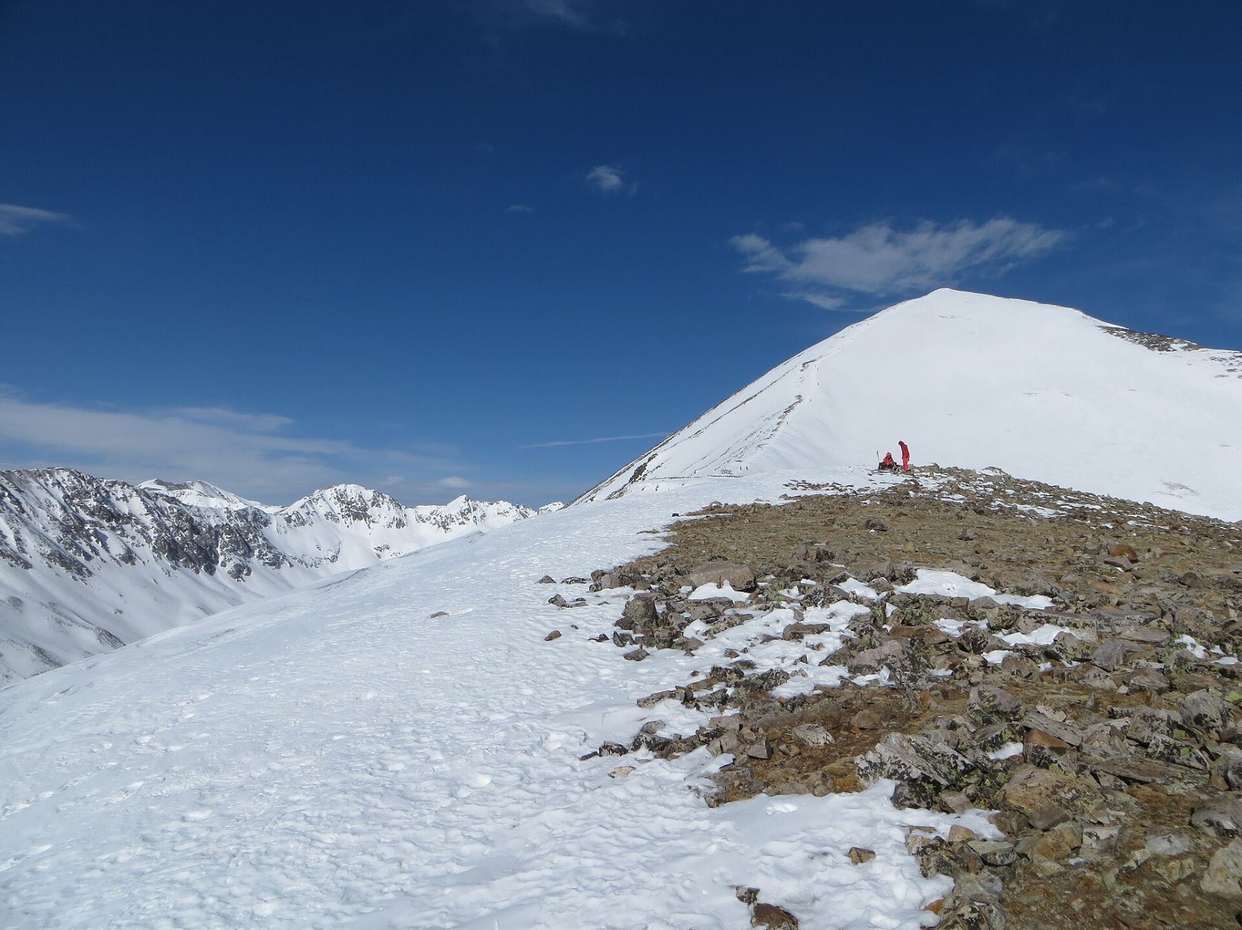
Cristo Couloir is a snow climb up the south side of Quandary Peak from Blue Lakes. It is a straight, wide gully that runs almost from the lake to the summit. It is one of the most popular spring snow climbs in Colorado and a common ski descent.
It is rated difficult Class 2 with moderate snow. The steepest part is close to 40 degrees. It suits climbers who have used an ice axe and crampons before. It is much shorter and steeper than the standard east ridge trail: about 3.5 miles round trip with about 2,900 feet of gain.
Plan on 4 to 6 hours. Start early. The gully faces south and softens fast.
Plan of the day
Start by
Before dawn, around 4 or 5 a.m. The south-facing snow gets sun early and can turn to slush by mid-morning.
Turnaround
If you are sinking past your ankles, or you are not near 13,500 feet by about 8 a.m., turn around.
Crux
The steepest section, close to 40 degrees, between 13,500 and 13,800 feet.
Route-finding
Easy. From the dam, the whole couloir is in view. Climb the center on snow or the rocky left side. Near 13,900 feet, angle right to the summit.
Water
Blue Lakes and snowmelt. There is little else. Carry about 2 liters.
Head south out of Breckenridge on Colorado 9 for 8 miles. At a sharp bend, turn west onto the Blue Lakes road (850) and follow it uphill.
Near 1.4 miles the road may be gated, around 11,400 feet. If so, park there and walk the road uphill about 0.7 mile to the dam. Parking is limited, so arrive early.
TundraSnow or couloirRidgeExposed to lightning
The line is elevation, the band underneath is the ground, and the numbered dots match the steps below. Mileage and elevations are approximate.
1
Gate on the Blue Lakes road 11,370' · 0 mi
Walk up the road about 0.7 mile toward the Blue Lakes dam.
2
Blue Lakes dam 11,700' · 0.7 mi
Go up the right (north) side to reach the paved top of the dam. Pass the fence and go a little way west.
Watch for: Stay off the dam's face and any closed areas.
3
View of the couloir 11,900' · 0.8 mi
Turn right and climb about 200 feet over rock, brush or snow to an open area. The whole couloir is in view from here.
4
Enter the couloir 12,300' · 1 mi
Put on crampons and take out your axe. Climb snow in the middle, or rocky ground on the left side.
Watch for: Check the snow. If it is already wet and soft, reconsider.
5
Gully widens 13,200' · 1.3 mi
Above 13,200 feet the gully opens up as it gets steeper.
6
Steepest section 13,500' · 1.45 mi
From 13,500 to 13,800 feet the slope is close to 40 degrees. Kick good steps and keep your axe ready.
Watch for: A slip here could become a long slide. Be ready to self-arrest.
7
Angle right 13,900' · 1.65 mi
Near 13,900 feet, turn right (east) and pick your way to the top.
8
Quandary Peak summit 14,272' · 1.75 mi
Reach the summit, where you meet the crowds from the east ridge trail.
Getting down
You can go back down the couloir if the snow is still firm. Face in on the steep part. Glissading is common, but only with crampons off and speed under control, and only on snow that is not too hard or too slushy. The other option is the standard east ridge trail, but it ends at a different trailhead, far from Blue Lakes by road.
If things go wrong
The couloir is short, and the fastest way off is straight back down it. If the snow turns soft or unstable, or weather moves in, descend right away. You can also stay on the rocky left side rather than the snow. Call 911 if someone is hurt and you have signal.
Other routes
Every way up Quandary Peak we list, with its class.
This describes the route in its usual season. Distances and elevations are close estimates for planning. Snow, ice, rockfall, a washed-out road or an afternoon storm can make it a very different climb. Check recent conditions the week you go and turn around when the day tells you to.