Afternoon storm risk is the line that matters. Everything else is comfort. In summer, plan to be off the ridge before the build-up starts, not as it starts. Forecast for the summit point, adjusted for its elevation · data from Open-Meteo.
Alternate route · West Ridge
Overview
This route reaches Torreys Peak from Loveland Pass by following the Continental Divide east. Along the way you go over Point 12,915, Cupid, Point 12,936 and then Grizzly Peak, drop to a broad saddle, and climb Torreys' long west ridge. It is a big ridge walk with many ups and downs.
The route is Class 2. The rock is mostly solid on the ridge, but the climb up Grizzly and the upper west ridge of Torreys are steep, loose scree. The real challenge is the length and the repeated climbing. You also have to climb back over Grizzly and the other bumps on the way home.
Plan on about 10 miles round trip with roughly 5,500 feet of gain. Most people take 8 to 11 hours. It suits fit, experienced hikers who are comfortable spending a whole day above treeline.
Plan of the day
Start by
By 5 a.m. You are above treeline from the first step and the whole way.
Turnaround
Check the weather seriously on Grizzly Peak. If it is not clear there, or you are not on Grizzly by 9:30 a.m., turn back. Remember you have to recross Grizzly on the return.
Crux
The steep, loose climbs: Grizzly's north face and the long scree slope on Torreys' west ridge.
Route-finding
Mostly easy along the Divide. Near Cupid the trail fades and cairns help. Once on Torreys' west ridge, find a shallow gully well to the right of the drop-offs and follow the faint trails in it.
Water
None on the route. Carry 3 to 4 liters for the whole day.
TundraRidgeTalus and screeScramblingExposed to lightning
The line is elevation, the band underneath is the ground, and the numbered dots match the steps below. Mileage and elevations are approximate.
1
Loveland Pass 11,990' · 0 mi
Hike east on a wide, clear trail up the slope from the pass.
2
Point 12,915 12,915' · 0.8 mi
Reach the broad, rounded top of Point 12,915. Many people turn around here. Your route follows the Divide on.
3
Low point at 12,714 feet 12,714' · 1 mi
Descend south-southeast off the point to a low spot, then follow a clear single-track trail uphill.
4
Cupid 13,177' · 1.6 mi
Near the top of Cupid the trail fades and cairns mark the way. The trail passes below Cupid's high point, which sits off to your left. Angle right to pick up a good trail heading south.
Watch for: Watch for the cairns so you do not lose the trail.
5
Boulder mound 13,000' · 1.8 mi
Coming down off Cupid, you meet a mound of boulders. The main trail goes around it on the left. Drop a little to the east, then turn south again.
Watch for: In early summer snow may cover this area. Find a way around that stays Class 2.
6
Point 12,936 12,936' · 2.4 mi
Go up and over a pile of mostly stable rocks, then over a couple of bumps to the top of Point 12,936.
7
Saddle below Grizzly 12,785' · 2.6 mi
Go down to the low saddle that links Point 12,936 with Grizzly Peak.
8
Grizzly's north face 13,100' · 2.9 mi
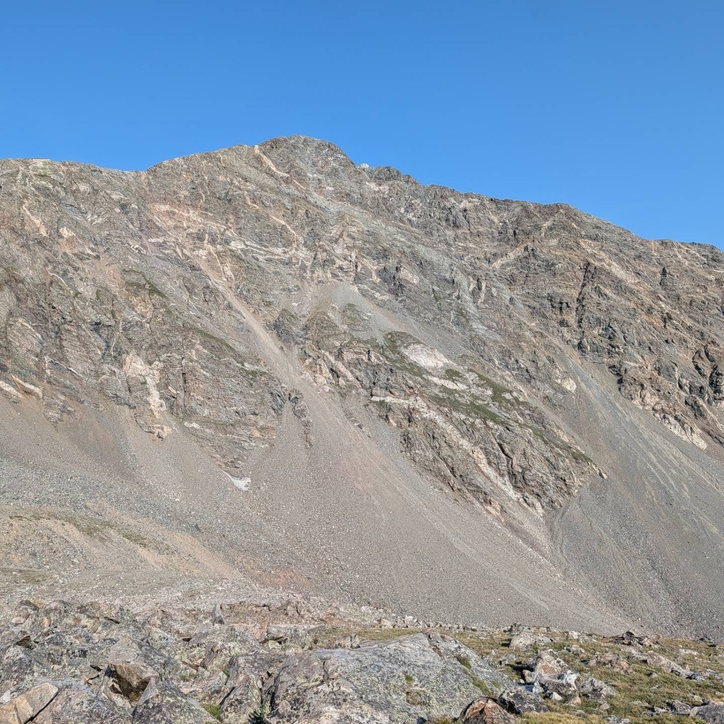
Climb the steep, scree-covered trail. At first it stays right (west) of the ridge spine. Follow the most worn path. Past halfway, the trail swings east toward the ridge and the footing becomes solid rock.
Watch for: Loose scree. Watch for rocks knocked down by people above you.
9
Grizzly Peak 13,427' · 3.2 mi
Pass a false summit and scramble a short way to the true top. Stop and check the weather before you go on.
Watch for: This is your main decision point.
10
Grassy saddle 12,580' · 3.8 mi
Head east along the high part of the ridge toward Torreys. The path is clear and the rock is solid. Then descend northeast along the ridge, or angle east down talus, to the wide grassy saddle.
Watch for: There are steep drop-offs on the left.
11
End of the grass 12,950' · 4.1 mi
Cross the saddle and climb east up the grass. Near 12,950 feet the grass gives way to scree. Look for a shallow gully some 50 to 100 yards right of the drop-offs and follow its faint trails.
Watch for: The trail is steep, loose and slippery in spots.
12
Rock pile 13,960' · 4.7 mi
Keep aiming at the high point above. Torreys comes into view over the ridge on your left. The trail goes around the right side of the rock pile, then turns a little left and gets easier.
13
Summit of Torreys Peak 14,272' · 5 mi
The small summit is roughly a quarter mile farther and a few hundred feet higher.
Getting down
Return the same way. This means climbing back up to Grizzly Peak from the saddle, then crossing Point 12,936 and Cupid before the last climb to Point 12,915 and the walk down to the pass. Take care on the loose scree below Torreys and on Grizzly's north face going down. Budget plenty of energy and time for the return.
If things go wrong
Before Grizzly, you can turn around and walk back along the Divide at any time. Once past Grizzly, retreat means climbing back over it, so make your decision there. There are no quick, safe ways off the ridge. In a storm, move quickly along the trail toward the pass and avoid the highest points.
Other routes
Every way up Torreys Peak we list, with its class.
This describes the route in its usual season. Distances and elevations are close estimates for planning. Snow, ice, rockfall, a washed-out road or an afternoon storm can make it a very different climb. Check recent conditions the week you go and turn around when the day tells you to.